Skip to main content
Search
Objects
(181,123)
People
(41,125)
Close
Refine Results
Show Only Public Domain
Format
*
Map
(22)
Date
to
Names
Robertson, J. Ross (John Ross), 1841-1918
(7)
Royal Engineers Office (Quebec)
(4)
Bouchette, J. (Joseph), 1774-1841
(2)
Hugh Scobie (Firm)
(2)
Nicolls, Gustavus
(2)
Beavis & Browne
(1)
Browne, John Ownsworth, 1808-1881
(1)
City Engineer's Office
(1)
Copp Clark Company
(1)
Aitken, Alexander, -1800
(1)
Load all
Subject
*
Harbour
(22)
Maps
(22)
Maps and surveys
(12)
Military buildings
(8)
Wharves
(8)
Harbors
(7)
Buildings
(4)
Forts and fortifications
(4)
Government buildings
(4)
Railroads
(4)
Load all
Collection
Baldwin Collection of Canadiana
(22)
Language
English
(22)
Building, monument or park
Toronto Harbour
(14)
Fort York
(4)
Union Station (Toronto, Ont. : 1852-1870)
(1)
City, town or township
Toronto
(22)
Neighbourhood
Harbour
(18)
Toronto Islands
(13)
Railway Lands
(12)
Exhibition
(10)
Garrison
(10)
Port Lands
(9)
St. Lawrence
(9)
King-Spadina
(6)
Financial District
(4)
Leslieville
(2)
Load all
North-south street
Leslie Street
(2)
Parliament Street
(2)
Bathurst Street
(1)
John Street
(1)
Peter Street
(1)
Portland Street
(1)
Simcoe Street
(1)
Yonge Street
(1)
York Street
(1)
East-west street
Front Street East
(2)
Front Street West
(2)
Queen Street East
(2)
Esplanade
(1)
King Street East
(1)
Sort:
Relevance
Date (Older First)
Date (Newer First)
Title (A–Z)
Title (Z–A)
Last Updated (Ascending)
Last Updated (Descending)
List
Images
Table
/ 2
Next
Filters
22 results for
*
Result type
Objects
People
Map
Ontario
Harbour
Clear All Filters
(1816) Plan of the harbour, fort and town of York, the capital of Upper Canada, March 16th 1816
Approximately 1908
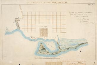
(1788) Plan of Toronto Harbour with the proposed town and part of the settlement, Québec 6th Dec. 1788, Gothermann, Capn. Commandg. Rl. Engrs. Colonial Correspondence Canada (Québec) 1790 no. 47 Plan B
Approximately 1908
Sketch of a design for laying out the north shore of the Toronto Harbour in pleasure drives walks and shrubbery for the recreation of the citizens
1852
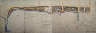
General plan of arrangements for railway termini in the city of Toronto
1853
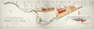
The Toronto Harbor Commissioners Waterfront Development Progress Plan 1914-1918
Between 1914 and 1918
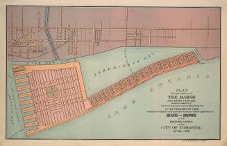
Plan of that portion of the marsh and water frontage, situate southward of lots no5 to 15 inclusive in the broken front con. in the township of York
1889
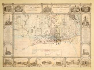
Topographical plan of the city of Toronto, in the province of Canada, from actual survey, by J Stoughton Dennis, Provin'l. land surveyor.
1851
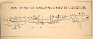
Plan of water lots in the city of Toronto
1860
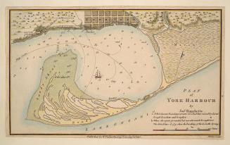
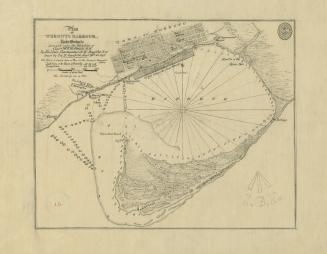
Plan of York Harbour
1815
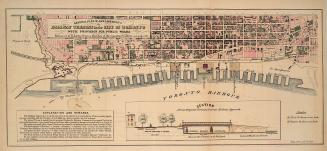
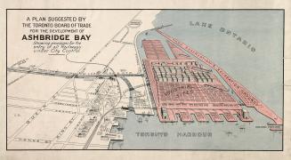
A plan suggested by the Toronto Board of Trade for the development of Ashbridge Bay showing provisions for the entry of all railways under city control
1910
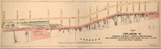
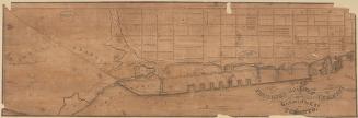
Plan of Esplanade St., shewing railway tracks & obstructions, also proposed extension of Esplanade 40 or 60 ft. to the south, for street purposes
1884
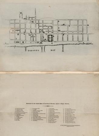
Toronto in 1834
1834
(1814) Plan of the town and harbour of York
Approximately 1908
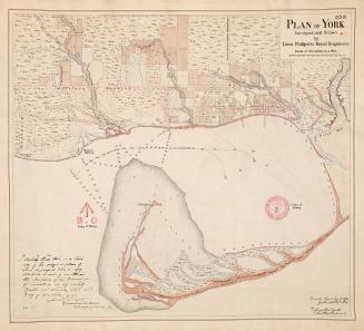
(1818) Plan of York surveyed and drawn by Lieut. Phillpotts Royal Engineers
1907
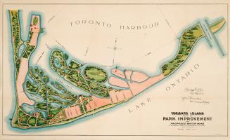
Toronto Island, plan of park improvement and proposed water ways to accompany a report of commissioner of parks, dated Dec. 15th, 1903
1903
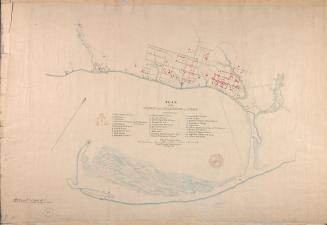
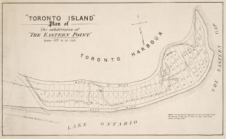
''Toronto Island'' Plan of the subdivision of ''The Eastern Point''
1880
Plan of the proposed railway termini in connection with the harbour of the city of Toronto
1853
Canada Lake Ontario Toronto Harbour from plans supplied by the Canadian Government, 1906
1907
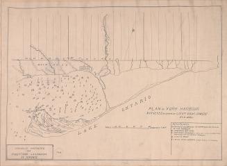
(1793) Plan of York harbour surveyed by order of Lieut. Govr. Simcoe by A. Aitken
1908
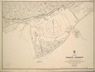
(1828) Plan of Toronto Harbour, Lake Ontario surveyed under the direction of Captn W.F.W. Owen, R.N
Approximately 1908
/ 2
Next
RDF
XML
JSON