Skip to main content
Search
Objects
(181,263)
People
(41,132)
Close
Refine Results
Show Only Public Domain
Format
*
Map
(36)
Date
to
Names
Unknown
(6)
Copp Clark Company
(4)
W.C. Chewett & Co.
(3)
Canadian Pacific Railway Company
(2)
Grand Trunk Railway Company of Canada
(2)
Bryce, William
(1)
Canada. Department of Public Works
(1)
Alexander & Cable Lithographing Co. Ltd
(1)
Brockville and Ottawa Railway Company
(1)
Browne, John Ownsworth, 1808-1881
(1)
Load all
Subject
*
Maps
(36)
Railroads
(36)
Roads
(5)
Harbour
(4)
Maps and surveys
(4)
Civic improvement
(2)
Land subdivision
(2)
Parks
(2)
Railways
(2)
Wharves
(2)
Load all
Collection
Baldwin Collection of Canadiana
(36)
Language
English
(36)
Building, monument or park
Toronto Harbour
(4)
Fort York
(1)
City, town or township
Toronto
(15)
Ottawa
(3)
Kingston
(2)
Montréal
(2)
Orillia
(2)
Barrie
(1)
Belleville
(1)
Brockville
(1)
Collingwood
(1)
Hamilton
(1)
Load all
Neighbourhood
Harbour
(4)
Railway Lands
(3)
St. Lawrence
(3)
Exhibition
(2)
Financial District
(2)
Garrison
(2)
King-Spadina
(2)
Fairbank
(1)
High Park
(1)
Lambton
(1)
Load all
North-south street
Yonge Street
(2)
Bathurst Street
(1)
Dufferin Street
(1)
Leslie Street
(1)
Parliament Street
(1)
East-west street
Davenport Road
(1)
Dundas Street East
(1)
Dundas Street West
(1)
Eglinton Avenue West
(1)
Esplanade
(1)
Front Street East
(1)
King Street East
(1)
Kingston Road
(1)
Queen Street East
(1)
Sort:
Relevance
Date (Older First)
Date (Newer First)
Title (A–Z)
Title (Z–A)
Last Updated (Ascending)
Last Updated (Descending)
List
Images
Table
/ 2
Next
Filters
36 results for
*
Result type
Objects
People
Map
Ontario
Railroads
Clear All Filters
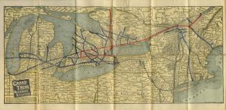
Map of Grand Trunk Railway system and connections
Approximately 1901
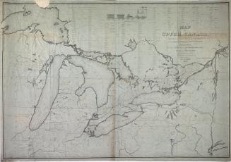
Map of Upper Canada shewing the proposed routes of rail roads for the purpose of extending the trade of the province
1837
Toronto
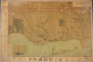
Approximately 1872
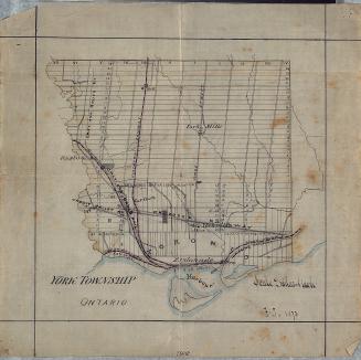
York Township, Ontario
1873
Bryce's new index map of Toronto
1888
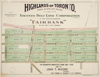
Highlands of Toronto plan of building lots for sale the property of the Toronto Belt Land Corporation in that portion designated ''Fairbank'' on the Belt Line Railway.
1910
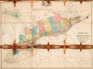
Pocket map of Upper Canada corrected to the latest surveys
1865
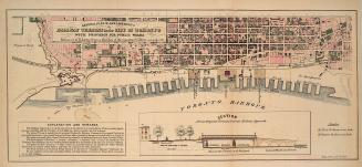
General plan of arrangements for railway termini in the city of Toronto
1853
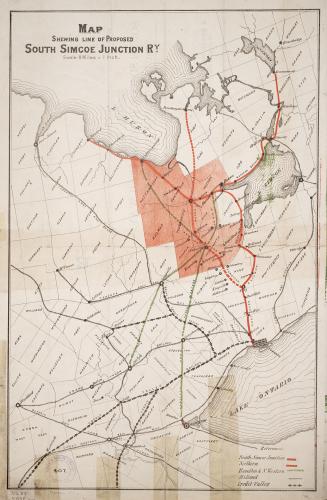
Map shewing line of proposed South Simcoe Junction Railway
1873
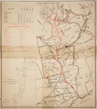
Map of the North Simcoe Railway
1874
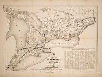
Map of Canada West exhibiting all the post offices, counties, railroads, and free grant roads, republished by authority 1863
1863
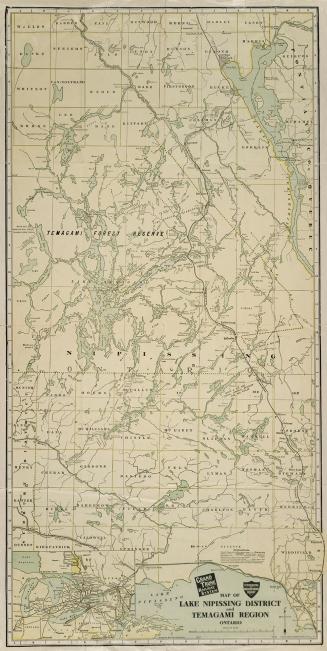
Map of Lake Nippissing District and Temagami Region Ontario
Approximately 1905
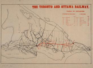
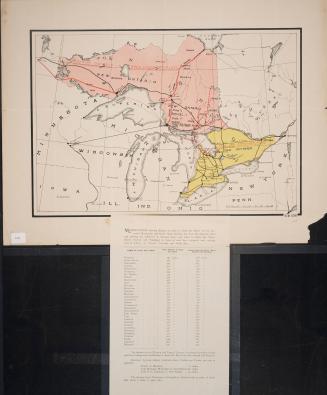
The Toronto and Ottawa Railway
1877
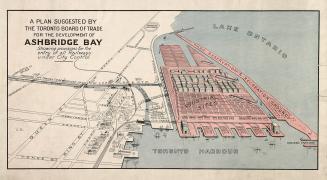
A plan suggested by the Toronto Board of Trade for the development of Ashbridge Bay showing provisions for the entry of all railways under city control
1910
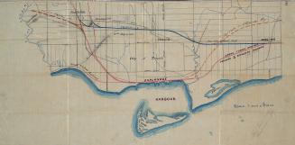
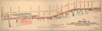
Plan of Esplanade St., shewing railway tracks & obstructions, also proposed extension of Esplanade 40 or 60 ft. to the south, for street purposes
1884
Prince Arthur's Landing
Approximately 1880
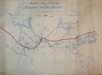
James Bay Railway. Proposed Orillia Route.
Approximately 1904
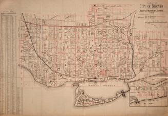
Map of the city of Toronto
1906
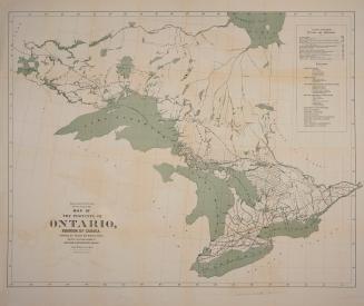
Map of the Province of Ontario, Dominion of Canada, exhibiting the counties and districts therein, also the unsurveyed portions of Northern & Northewestern Ontario
1884
Proposed Manitoulin and North Shore Railway line
Approximately 1888
/ 2
Next
RDF
XML
JSON