Skip to main content
Search
Objects
(181,123)
People
(41,125)
Close
Refine Results
Show Only Public Domain
Format
*
Map
(74)
Date
to
Names
Bellin, Jacques Nicolas, 1703-1772
(7)
J & C Walker
(6)
Bayfield, Henry Wolsey, 1795-1885
(5)
Hydrographic Office
(5)
Bouchette, Joseph, 1774-1841
(4)
Crown lands department
(3)
Jefferys, Thomas, -1771
(3)
Arrowsmith, John, 1790-1873
(2)
Cassini, Giovanni Maria
(2)
G. Matthews Litho. Montréal
(2)
Load all
Subject
Maps
(71)
Maps and surveys
(9)
Cities and towns
(8)
Nautical charts
(7)
Discovery and exploration
(5)
Forts and fortifications
(3)
History
(3)
Railroads
(3)
Cartes
(2)
Colonies
(2)
Load all
Collection
Baldwin Collection of Canadiana
(74)
Language
English
(59)
French
(10)
Italian
(4)
Latin
(1)
City, town or township
Québec
(13)
Montréal
(9)
Argenteuil
(1)
Chicoutimi
(1)
Châteauguay
(1)
Hamilton
(1)
Kingston
(1)
London (Ontario)
(1)
Ottawa
(1)
Saint-Hyacinthe
(1)
Load all
Sort:
Relevance
Date (Older First)
Date (Newer First)
Title (A–Z)
Title (Z–A)
Last Updated (Ascending)
Last Updated (Descending)
List
Images
Table
/ 4
Next
Filters
74 results for
*
Result type
Objects
People
Map
Québec
Clear All Filters
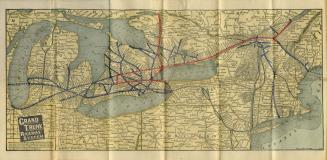
Map of Grand Trunk Railway system and connections
Approximately 1901
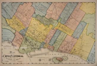
Map of the City of Montréal prepared expressly for Lovell's Montréal Directory for 1897-8
1897
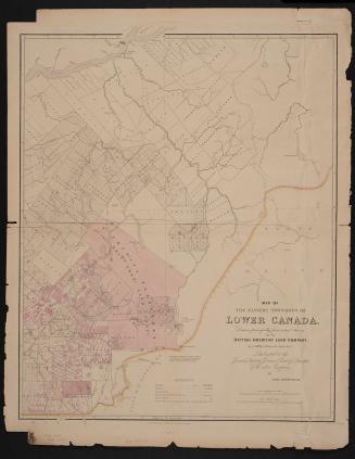
Map of the Eastern Townships of Lower Canada, drawn principally from actual survey for the British American Land Company
22 May 1839
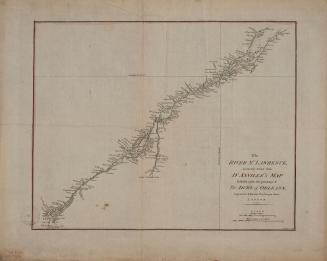
The River St. Lawrence accurately drawn from D'Anville's map
Approximately 1790
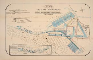
Map of part of the city of Montréal shewing …
Approximately 1850
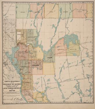
Carte régionale de la Province de Québec montrant le territoire compris entre les lacs Temiscamingue et Abitibi
17 March 1910
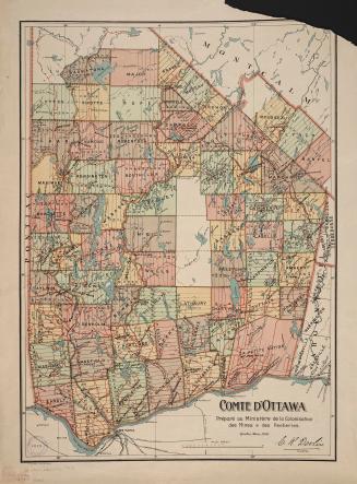
Comté d'Ottawa
1 March 1910
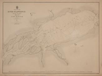
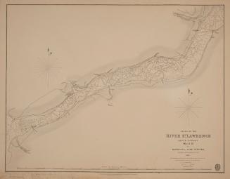
Plans of the River St. Lawrence above Québec sheet IV Lake St. Peter
1831
Plans of the River St. Lawrence above Québec sheet III Batiscan to Lake St. Peter
1831
Plans of the River St. Lawrence above Québec sheet II St. Croix to Batiscan
1837
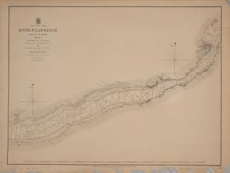
Plans of the River St. Lawrence above Québec sheet I Québec to St Croix
1837
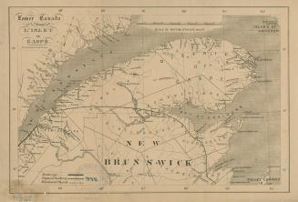
Lower Canada from L'Islet to Gaspé
1861
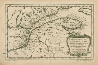
Carte du cours du Fleuve de St.Laurent Depuis son Embouchure jusqu'au dessus de Quebec, Pour servir à l'Histoire Générale des Voyages
1757
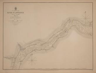
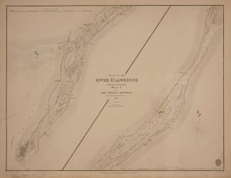
Plans of the River St. Lawrence above Québec sheet V from Lake St. Peter to Montréal
1834
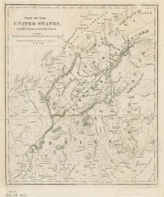
Part of the United States, Lower Canada & New Brunswick
Approximately 1840
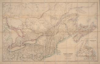
Quebec, Ontario, New Brunswick, Nova Scotia, Prince Edward Id. and Newfoundland with the adjacent parts of the United States
20 March 1879
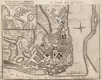
A plan of Québec
1759
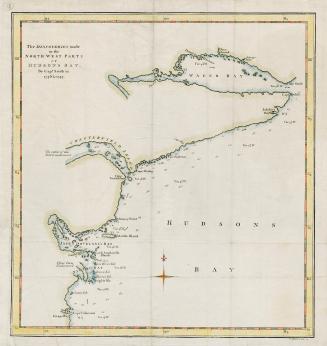
The discoveries made in the North West parts of Hudson's Bay by Cap't Smith in 1746 & 1747
1768
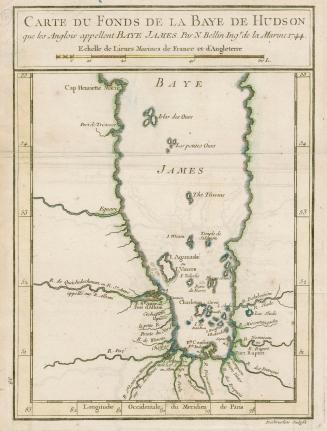
Carte du fonds de la baye de Hudson
1744
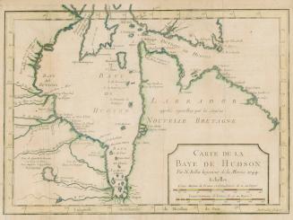
Carte de la baye de Hudson
1744
/ 4
Next
RDF
XML
JSON