Skip to main content
Search
Objects
(181,123)
People
(41,125)
Close
Refine Results
Show Only Public Domain
Format
*
Picture
(35)
Date
to
Names
Unknown
(35)
China Auto Ltd. (Toronto, Ont.)
(1)
Royal Canadian Legion
(1)
Pendell Boiler Ltd. (Toronto, Ont.)
(1)
Subject
*
Dwellings
(35)
Streets
(24)
Church buildings
(3)
Automobile driver education
(1)
Automobile repair shops
(1)
Heating equipment industry
(1)
High schools
(1)
Household appliances
(1)
Lawn bowling
(1)
Maintenance and repair
(1)
Load all
Collection
*
Local History Collection, Bloor/Gladstone branch
(35)
Language
No linguistic content
(35)
Building, monument or park
Dufferin Grove Park (Toronto, Ontario)
(1)
City, town or township
Toronto
(35)
Neighbourhood
Dufferin Grove-Bickford Park
(19)
Brockton
(9)
Dovercourt
(7)
North-south street
Dovercourt Road
(8)
Rusholme Road
(6)
Brock Avenue
(3)
Gladstone Avenue
(3)
Delaware Avenue
(2)
Havelock Street
(2)
St. Clarens Avenue
(2)
Sterling Road
(2)
Bartlett Avenue
(1)
Emerson Avenue
(1)
Load all
East-west street
Hallam Street
(2)
Lappin Avenue
(2)
Bloor Street West
(1)
College Street
(1)
Dundas Street West
(1)
Hepbourne Street
(1)
Lindsey Avenue
(1)
Sylvan Avenue
(1)
Sort:
Relevance
Date (Older First)
Date (Newer First)
Title (A–Z)
Title (Z–A)
Last Updated (Ascending)
Last Updated (Descending)
List
Images
Table
/ 2
Next
Filters
35 results for
*
Result type
Objects
People
Picture
Local History Collection, Bloor/Gladstone branch
Dwellings
Clear All Filters
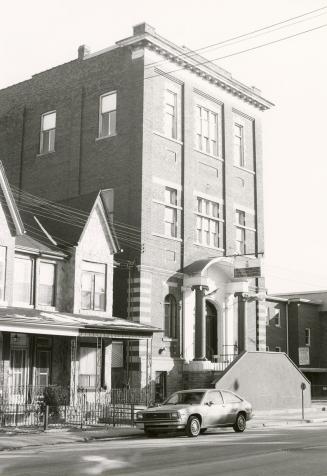
Royal Canadian Legion, Dovercourt Road, east side, between Northumberland Street and Shanly Street, Toronto, Ont.
1980
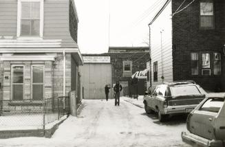
Pendell Boiler Ltd., Bartlett Avenue, west side, between Bloor Street West and Shanly Street, Toronto, Ont.
1980
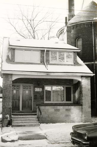
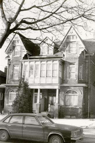
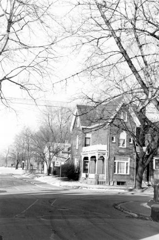
Rusholme Road, west side, between Hepbourne Street and Bloor Street West, Toronto, Ont.
1980
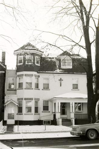
Dovercourt Road, west side, between College Street and Dewson Street, Toronto, Ont.
1980
Rusholme Road, east side, between Dewson Street and Hepbourne Street, Toronto, Ont.
1980
Dovercourt Road, east side, between College Street and Dewson Street, Toronto, Ont.
1980
Rusholme Road, east side, between Dewson Street and Hepbourne Street, Toronto, Ont.
1980
Havelock Street, east side, between Dewson Street and Hepbourne Street, Toronto, Ont.
1980
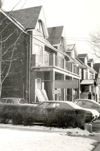
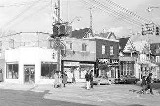
China Auto Ltd., Delaware Avenue, east side, between Hepbourne Street and Bloor Street West, Toronto, Ont.
1980
Havelock Street, east side, between Hepbourne Street and Bloor Street West, Toronto, Ont.
1980
Delaware Avenue, east side, between Hepbourne Street and Bloor Street West, Toronto, Ont.
1980
Gladstone Avenue, southeast corner of Dufferin Grove Park, Toronto, Ont.
1980
Sylvan Avenue, north side, between Havelock Street and Gladstone Avenue, Toronto, Ont.
1980
Looking northeast from Dundas Street West bridge and Canadian Pacific Railway tracks, Toronto, Ont, showing house at the southeast corner of Lumbervale Avenue and St. Helens Avenue on right and West Toronto Secondary School on left.
1980
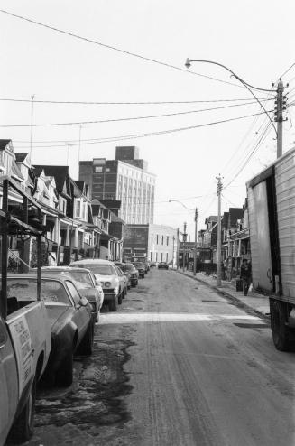
Sterling Road, looking south from south of Bloor Street West to Perth Avenue, Toronto, Ont.
1980
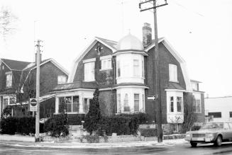
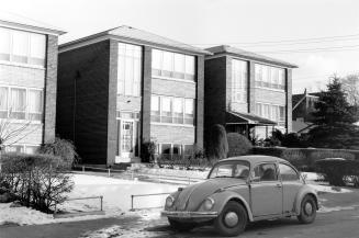
Westmoreland Avenue, northeast corner of Hallam Street, Toronto, Ont.
1980
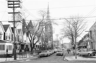
St. Clarens Avenue looking south from College Street to Dundas Street West, showing St. Helen's Church, Toronto, Ont.
1980
Hallam Street, northeast corner of Dovercourt Road, Toronto, Ont.
1980
Sylvan Avenue, northeast corner of Gladstone Avenue, Toronto, Ont.
1980
Gladstone Avenue, east side, between Lindsey Avenue and Sylvan Avenue, Toronto, Ont.
1980
/ 2
Next
RDF
XML
JSON