Skip to main content
Search
Objects
(181,263)
People
(41,132)
Close
Refine Results
Show Only Public Domain
Format
Map
(32)
Date
to
Names
Braun, Georg, 1541-1622
(13)
Hogenberg, Frans, 1535-1590
(12)
Hoefnagel, Joris, 1542-1600
(6)
Beeck, Anna, 1678-
(3)
W.A. Little
(2)
Cologne
(1)
Bellin, Jacques Nicolas, 1703-1772
(1)
City of Montreal
(1)
Boxer, F.N.
(1)
Gordon, Peter, 1697-1740
(1)
Load all
Subject
*
Cities and towns
(32)
Maps
(32)
Pictorial maps
(14)
Cities and towns, Medieval
(8)
City planning
(4)
Fortification
(4)
Historical geography
(3)
Spanish Succession, War of, 1701-1714
(3)
Buildings, structures, etc.
(2)
Early maps
(2)
Load all
Collection
*
Baldwin Collection of Canadiana
(32)
Language
English
(14)
Latin
(13)
German
(8)
French
(4)
Dutch
(1)
City, town or township
Montréal
(4)
Québec
(3)
Arras
(1)
Cairo
(1)
Centre Wellington (Ont. : Township)
(1)
Palma
(1)
Savannah
(1)
Toledo
(1)
Neighbourhood
Fergus (Centre Wellington, Ontario)
(1)
Sort:
Relevance
Date (Older First)
Date (Newer First)
Title (A–Z)
Title (Z–A)
Last Updated (Ascending)
Last Updated (Descending)
List
Images
Table
/ 2
Next
Filters
32 results for
*
Result type
Objects
People
Baldwin Collection of Canadiana
Maps
Cities and towns
Clear All Filters
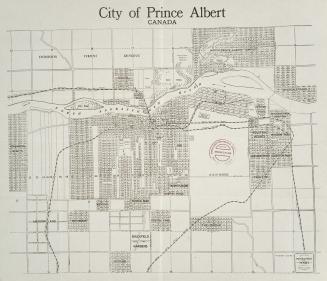
City of Prince Albert Canada
1912
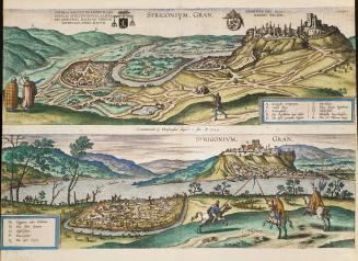
Strigonium
1595
Map of the City of Montréal prepared expressly for Lovell's Montréal Directory for 1897-8
1897
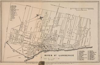
Map of part of the city of Montréal shewing …
Approximately 1850
Palma
Approximately 1600
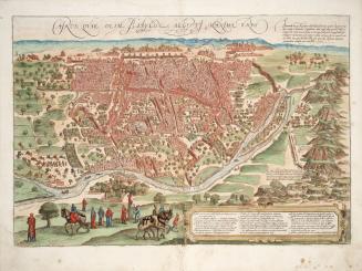
Toletum
1566
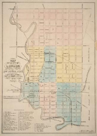
Map of the city of London surveyed and drawn by Samuel Peters, P.L.S. published by Geo Railton for the London Directory 1856
1856
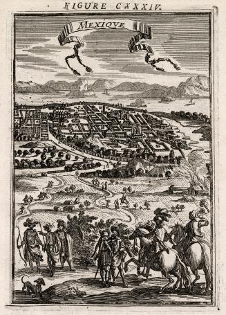
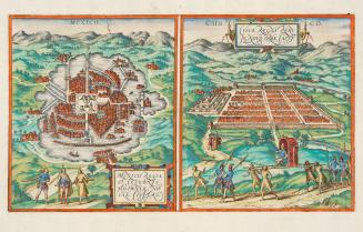
Mexique
1683
Cairus, quae olim Babylon, Aegypt maxima urbs
1572
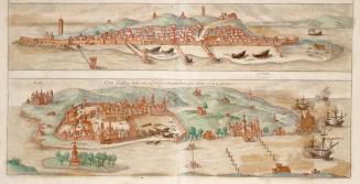
Goa Fortissima Indiae Urbs in Christianorum Potestatem Anno Salutis 1509 Devenit Diu
Approximately 1572
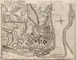
A plan of Québec
1759
Mexico regia et celebris Hispaniae Novae civitas.
1572
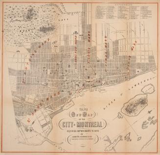
1870 new map of the City of Montreal showing improvements to date
1870
Plan of the City of Montréal
1839
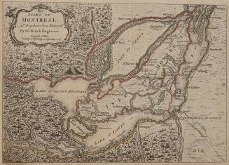
The Isles of Montréal, as they have been survey'd by the French Engineers
1761
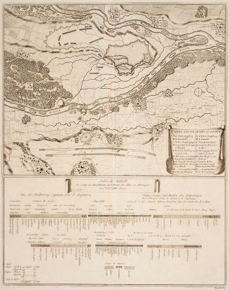
Ordre de battaille au camp de Burkheim de l'armée des allies en Allemagne
1709
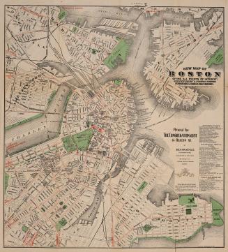
New map of Boston giving all points of interest; with every railway & steamboat terminus, prominent hotels, theatres & public buildings
1897
Die stadt Québec [Qvebec]
1685
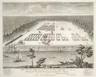
A view of Savanah as it stood the 29th of March 1734
1734
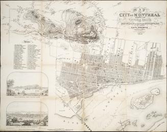
Map of the City of Montreal shewing the Victoria Bridge, the Mountain and Proposed Boulevard, and the different dock projects compiled and drawn by F.N. Boxer, Architect & C.E.,1859
1859
/ 2
Next
RDF
XML
JSON
![Die stadt Québec [Qvebec]](/internal/media/dispatcher/1986214/thumbnail)