Skip to main content
Search
Objects
(181,123)
People
(41,125)
Close
Refine Results
Show Only Public Domain
Format
Picture
(125)
Date
to
Names
Salmon, James V. (James Victor)
(86)
Unknown
(14)
Canadian National Railways
(8)
Chirnside, Ted
(5)
Valentine & Sons
(4)
Gamble, William
(3)
Williams, Charles A., active 1897-1962
(3)
Staples, Owen, 1866-1949
(3)
Thompson, Stuart Logan, 1885-1961
(2)
Toronto. Department of Works
(2)
Load all
Subject
*
Bridges
(125)
Streets
(125)
Parks
(50)
Design and construction
(14)
Hurricane Hazel, 1954
(10)
Railroad bridges
(8)
Disasters
(7)
Factories
(3)
Floods
(3)
Mills and mill-work
(3)
Load all
Collection
*
Baldwin Collection of Canadiana
(125)
Language
English
(124)
No linguistic content
(1)
Building, monument or park
Centre Island
(2)
City, town or township
Toronto
(115)
Cambridge
(2)
Beaverton
(1)
Vaughan
(1)
Welland
(1)
Neighbourhood
Kingsway
(14)
Bloor West Village
(12)
York Mills
(9)
Yorkville
(9)
Rexdale
(8)
Cabbagetown
(5)
East York||Thorncliffe Park
(5)
Port Lands
(5)
Swansea
(5)
High Park
(4)
Load all
North-south street
Old Mill Road
(11)
Yonge Street
(9)
Bayview Avenue
(2)
Birchmount Road
(2)
East-west street
Bloor Street West
(3)
Lawrence Avenue East
(2)
Old Dundas Street
(2)
Old Mill Road
(2)
Queen Street East
(2)
Finch Avenue East
(1)
Lakeshore Road
(1)
Sort:
Relevance
Date (Older First)
Date (Newer First)
Title (A–Z)
Title (Z–A)
Last Updated (Ascending)
Last Updated (Descending)
List
Images
Table
/ 7
Next
Filters
125 results for
*
Result type
Objects
People
Baldwin Collection of Canadiana
Streets
Bridges
Clear All Filters
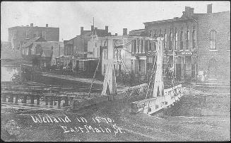
Welland in 1870. East Main St
1910
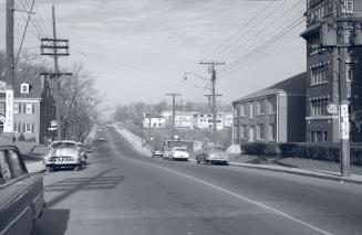
Bathurst St., looking north from north of Lonsmount Drive
1954
Old Mill Road, looking west to bridge across Humber River between Catherine St
1919?
Old Mill Rd., looking west to bridge across Humber River between Catherine St. & Old Mill Rd., with Bloor St. bridge in background, taken from west end of Lessard Ave., showing Belt Line right-of-way in foreground, Toronto, Ontario
1925-09
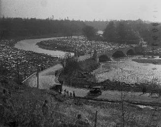
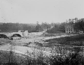
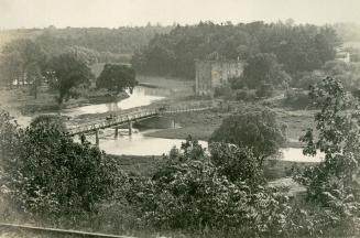
Old Mill Road, looking west, showing bridge across Humber River and Gamble mill, Toronto, Ontario
approximately 1918
Old Mill Road, looking west from bridge across Humber River, Toronto, Ontario
1919?
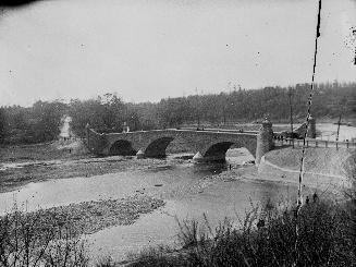
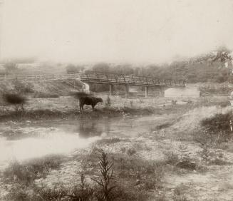
Old Mill Road., bridge across Humber River between Catherine St. & Old Mill Road., looking west, Toronto, Ontario
5/4/1918
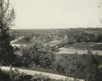
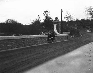
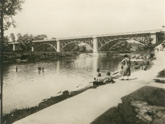
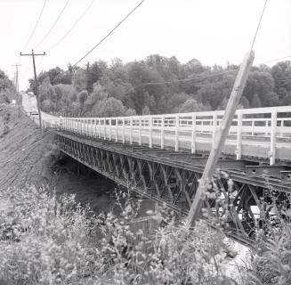
Bloor Street West, bridge over Humber River, looking northwest, Toronto, Ontario
1925 circa
Old Mill Road, bridge across Humber River between Catherine St
1905 circa
Old Mill Road, bridge across Humber River between Catherine St. and Old Mill Road, looking north east, Toronto, Ontario
1900 circa
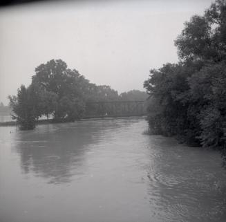
Don Mills Road., bridge over East River at forks of Don, looking northeast, West Don River at left
8/29/1954
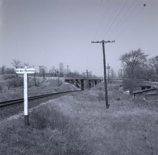
Don Mills Road., bridge over C.N.R. tracks north of forks of Don, looking south
8/29/1954
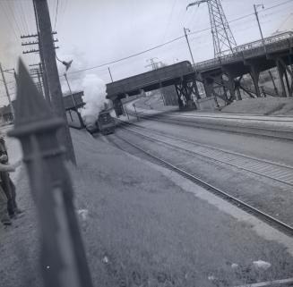
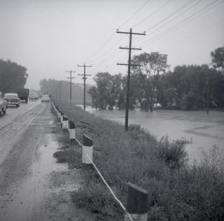
LAKESHORE RD., bridge over C.N.R. tracks, south of King Street West, looking e
1956
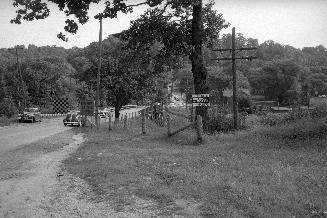
Governor's Bridge, between Astley & Governor's Roads, looking northeast
1954
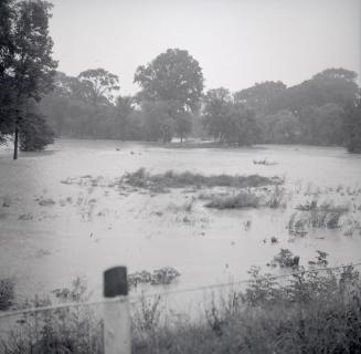
Bathurst St., south across West Don River, showing Bailey bridge replacing bridge destroyed in Hurricane Hazel
1956
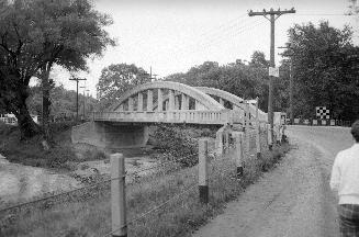
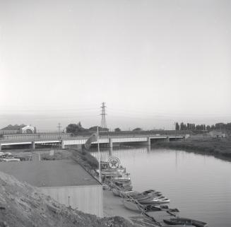
(The) Queensway, bridge over Humber River, looking southwest
1956
Humber River, looking north to Old Albion Road bridge over Humber River
1956
Humber River, looking e. from Albion Road, west of Humber River, to Old Albion Road bridge over Humber River
1956
Humber River, looking north along Albion Road
1956
Don Mills Road., bridge over C.N.R. tracks north of forks of Don, looking east
1958-04
/ 7
Next
RDF
XML
JSON