Skip to main content
Search
Objects
(181,111)
People
(41,119)
Close
Refine Results
Show Only Public Domain
Format
Map
(5)
Book
(1)
Date
to
Names
Burland Lithographic Co.
(1)
H. Belden & Co.
(1)
Chas. E. Goad, Ltd.
(1)
Goad, Charles E.
(1)
MacDiarmid, F. G.
(1)
Maclear & Co.
(1)
McLean, W. A. (Deputy Minister of Highways, Ont.)
(1)
Ontario. Department of Public Highways
(1)
Rankin, Charles
(1)
Rolph, Smith & Co.
(1)
Load all
Subject
*
Maps
(6)
Atlases
(1)
Biographies
(1)
Fire insurance
(1)
History
(1)
Railroads
(1)
Roads
(1)
Collection
Baldwin Collection of Canadiana
(6)
Language
English
(6)
City, town or township
Arran-Elderslie (Ont. : Township)
(1)
Barrie
(1)
Collingwood
(1)
King (Ont. : Township)
(1)
Orillia
(1)
Toronto
(1)
Vaughan
(1)
Neighbourhood
Paisley (Arran-Elderslie, Ontario)
(1)
Sort:
Relevance
Date (Older First)
Date (Newer First)
Title (A–Z)
Title (Z–A)
Last Updated (Ascending)
Last Updated (Descending)
List
Images
Table
/ 1
Filters
6 results for
*
Result type
Objects
People
Bruce (Ont. : County)
Maps
Clear All Filters
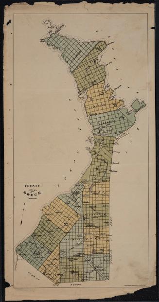
County of Bruce
Approximately 1880
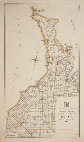
Road map of the County of Bruce
1918
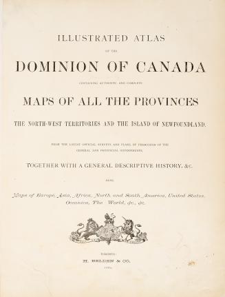
Illustrated atlas of the Dominion of Canada, containing authentic and complete maps of all the provinces, the North-West Territories and the island of Newfoundland, from the latest official surveys and plans, by permission of the general and provincial governments, together with a general descriptive history, &c., also maps of Europe, Asia, Africa, North and South America, United States, Oceania, the World, &c., &c.
1880
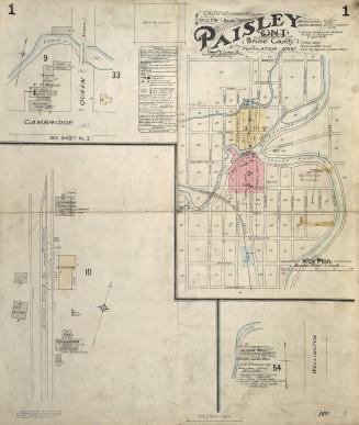
Fire insurance plan of Paisley, Bruce County, Ont
1904
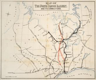
Map of the North Simcoe Railway, and its connections
Approximately 1878
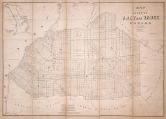
Map of the Counties of Grey and Bruce Canada
1855
/ 1
RDF
XML
JSON