Skip to main content
Search
Objects
(181,123)
People
(41,122)
Close
Refine Results
Show Only Public Domain
Format
Map
(27)
Book
(1)
Date
to
Names
Cassini, Giovanni Maria
(2)
Bowen, Emmanuel, 1693?-1767
(2)
J. Bew
(2)
Popple, Henry
(2)
Willm. Henry Toms & R.W. Seal
(2)
Burland Lith. Company Montreal
(1)
Bew, John, -1793
(1)
Gentleman's Magazine
(1)
Carey, Mathew, 1760-1839
(1)
Doyle, Arthur Conan, 1859-1930
(1)
Load all
Subject
Maps
(27)
Colonies
(7)
Discovery and exploration
(3)
Cables, Submarine
(1)
Castaways
(1)
Charts, maps, etc
(1)
History
(1)
Lost races
(1)
Nautical charts
(1)
Robinsonades
(1)
Load all
Collection
Baldwin Collection of Canadiana
(26)
Arthur Conan Doyle Collection
(1)
Merril Collection of Science Fiction, Speculation and Fantasy
(1)
Language
English
(19)
French
(4)
Italian
(3)
German
(2)
Latin
(1)
Sort:
Relevance
Date (Older First)
Date (Newer First)
Title (A–Z)
Title (Z–A)
Last Updated (Ascending)
Last Updated (Descending)
List
Images
Table
/ 2
Next
Filters
28 results for
*
Result type
Objects
People
Atlantic Ocean
Clear All Filters
Gli Stati Uniti dell' America delineati sulle ultime osservazioni, secondo foglio che comprende parte della Nuovo Inghilterra ed inoltre la Nuova Scotia e porzione del Canada
1797
Coast telegraph chart of the Gulf and lower St. Lawrence and Maritime Provinces
1881
Part of North America, containing Canada, the north parts of New England and New York, with Nova Scotia and Newfoundland
1755
Map showing Arthur Conan Doyle's North American voyage, 1894, with daily milage filled in
1894
Tabula nautica
1613
A new map or chart in Mercators projection of the Western or Atlantic Ocean, with part of Europe, Africa and America
1781
British Possessions in North America from the best authorities
1794
A map of Hudsons Bay and Parts adjacent, from the latest surveys and best authorities
Approximately 1750
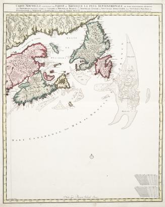
Carte Nouvelle contenant la Partie d'Amérique la plus septentrionale, où sont exactement décrites les Provinces suivantes comme le Canada ou Nouvelle (...)
Approximately 1700
Carte des possessions Angloises & Francoises du continent de l'Amerique septentrionale
1755
Des possessions Francoises aujourd'hui sous la domination Angloises
1780
A map of the British Empire in America with the French and Spanish settlements adjacent thereto (part 3)
1733
A map of the British Empire in America with the French and Spanish settlements adjacent thereto (sheet 7)
1733
A correct draught of the North Pole and and of all the countries hitherto discovered intercepted between the pole and the parallel of 50 degrees...
Approximately 1747
North America sheet 1 Nova Scotia with part of New Brunswick and East Canada
1855
La Baja d'Hudson Terra di Labrador e Groenlandia con le Isole adjacenti di nuova progezione
1778
North America, British Provinces of New Brunswick, Nova Scotia & Part of Canada
Approximately 1840
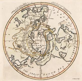
A map of the Icy Sea in which the several Communications with the land waters and other new discoveries are exhibited
Approximately 1760
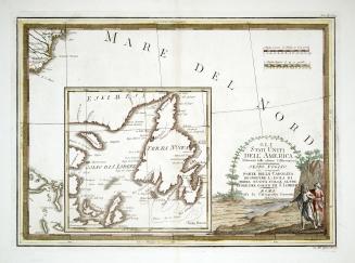
Gli Stati Uniti dell' America delineati sulle ultime osservazioni, sesto foglio che comprende parte della Carolina ed inoltre l, isola di terra nuova colle altre isole del golfo di S. Lorenzo
1797
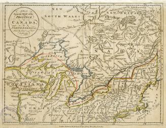
A New & Accurate map of the Province of Canada in North America from the Latest and Best Authorities
1782
/ 2
Next
RDF
XML
JSON