Skip to main content
Search
Objects
(181,123)
People
(41,122)
Close
Refine Results
Show Only Public Domain
Format
Map
(9)
Picture
(4)
Book
(1)
Date
to
Names
Snider, C.H.J. (Charles Henry Jeremiah), 1879-1971
(4)
Canadian Journal
(1)
Bellin, Jacques Nicolas, 1703-1772
(1)
Copp Clark Company
(1)
Ellis, John, 1795-1877
(1)
H.S. Tanner
(1)
Homann Erben (Firm)
(1)
J.&C. Walker (Firm)
(1)
J. Phillips
(1)
Homann Erben
(1)
Load all
Subject
Maps
(9)
Railroads
(4)
Steamships
(3)
Automobile travel
(1)
Cities and towns
(1)
Colonies
(1)
Description and travel
(1)
French and Indian War, 1755-1763
(1)
Geology
(1)
Natural resources
(1)
Load all
Collection
Baldwin Collection of Canadiana
(14)
Language
English
(11)
No linguistic content
(2)
French
(1)
City, town or township
Boston
(1)
New York
(1)
Toronto
(1)
Toronto||Hamilton||Brantford||Peterborough||Ottawa||Montréal||Québec||Halifax||Winnipeg||Vancouver
(1)
Sort:
Relevance
Date (Older First)
Date (Newer First)
Title (A–Z)
Title (Z–A)
Last Updated (Ascending)
Last Updated (Descending)
List
Images
Table
/ 1
Filters
14 results for
*
Result type
Objects
People
Great Lakes
Clear All Filters
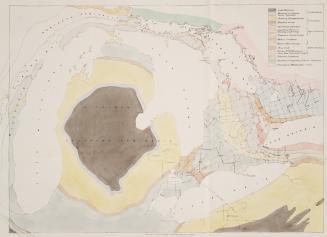
Geological map engraved for the Canadian Journal by John Ellis Toronto
Approximately 1850
Steamer "Kaloolah", 1852-62 (Great Lakes)
approximately 1915
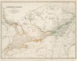
Dominion of Canada
Approximately 1880
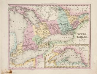
Upper Canada
Approximately 1840
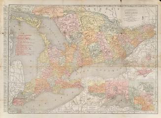
The Rand-McNally new commercial atlas map of Ontario
Approximately 1915
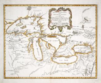
Partie occidentale de la Nouvelle France ou Canada
1755
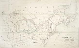
Map showing the routes between Boston, New-York and the North West via Toronto and the Georgian Bay
Approximately 1853
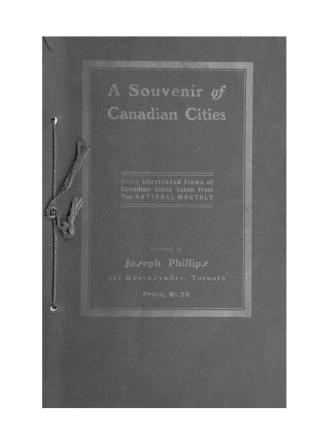
A souvenir of Canadian cities : being illustrated views of Canadian cities taken from the National monthly
1903?
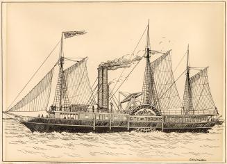
Steamer "City of Toronto", 1840-64; "Racine", 1864; "Algoma", 1864-1887 (Great Lakes)
approximately 1915
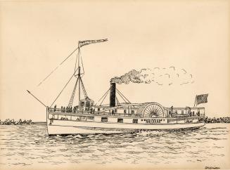
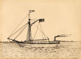
Steamer, "Vandalia", 1841-56; "Milwaukee", 1856 (Great Lakes)
approximately 1915
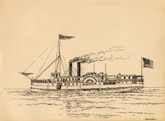
Steamer "Algoma", 1864-1887 (Great Lakes)
approximately 1915
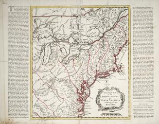
An accurate map of the British Colonies in North America bordering on the River Ohio
Approximately 1760
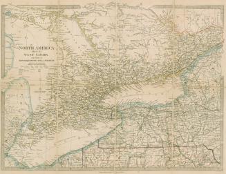
North America sheet III West Canada with parts of New York, Pennsylvania and Michigan
1865
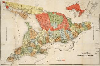
Map of part of the province of Ontario
Approximately 1882
/ 1
RDF
XML
JSON