Skip to main content
Search
Objects
(181,016)
People
(41,114)
Close
Refine Results
Show Only Public Domain
Format
Map
(10)
Book
(8)
Picture
(2)
Date
to
Names
Snider, C.H.J. (Charles Henry Jeremiah), 1879-1971
(2)
Bew, John, -1793
(1)
Brock, Isaac, Sir, 1769-1812
(1)
Clarke, Samuel C.
(1)
E.L. Freeman & Co.
(1)
Carey, Mathew, 1760-1839
(1)
E. French
(1)
George H. Colton
(1)
Haskins, R. W. (Roswell Willson), 1796-1870
(1)
Lewis, Samuel, -1865
(1)
Load all
Subject
Maps
(10)
Colonies
(5)
Defenses
(2)
Description and travel
(2)
History
(2)
Travel writing
(2)
Children
(1)
Christian life
(1)
Coal miners
(1)
Conduct of life
(1)
Load all
Collection
Baldwin Collection of Canadiana
(20)
Language
English
(16)
French
(3)
No linguistic content
(1)
German
(1)
Sort:
Relevance
Date (Older First)
Date (Newer First)
Title (A–Z)
Title (Z–A)
Last Updated (Ascending)
Last Updated (Descending)
List
Images
Table
/ 1
Filters
20 results for
*
Result type
Objects
People
Great Lakes (North America)
Clear All Filters
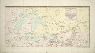
Valley of the Lakes
1847
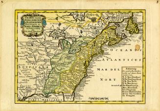
Charte von dem Engellaendischen u. Franzoesischen Besitzungen in Nord America zu finden in Leipzig
1749
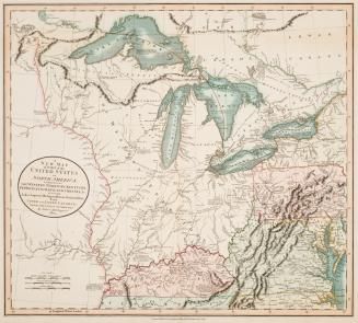
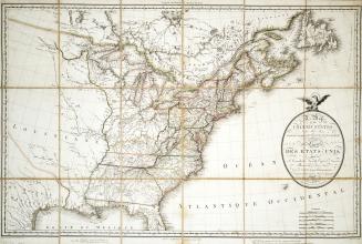
A new map of part of the United States of North America, exhibiting the Western Territory, Kentucky, Pennsylvania, Maryland, Virginia &c.
1805
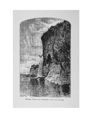
Sailing on the Great Lakes and rivers of America , embracing a description of lakes Erie, Huron, Michigan & Superior, and rivers St. Mary, St. Clair, (...)
1874
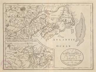
Part of North America, containing Canada, the north parts of New England and New York, with Nova Scotia and Newfoundland
1755
Sketches of a tour to the lakes, of the character and customs of the Chippeway Indians, and of incidents connected with the treaty of Fond du Lac
1827
The inland seas of North America and The natural and industrial productions of Canada, with the real foundations for its future prosperity
1854
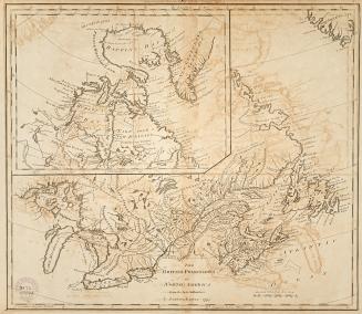
British Possessions in North America from the best authorities
1794
Carte des possessions Angloises & Francoises du continent de l'Amerique septentrionale
1755
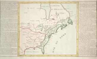
Des possessions Francoises aujourd'hui sous la domination Angloises
1780
Suggestions on the defence of the Canadas on the most economical principles of blood and treasure
1865
A map of the American Lakes and Adjoining Country, the present Seat of War between Great Britain & the United States
1813
Map of the United States and Canada, New Scotland, New Brunswick and Newfoundland
1806
The defense of the Great Lakes; its necessity, and the quickest, cheapest, and best way to accomplish it
approximately 1863
A boy's vacation on the Great Lakes
1880
A New & Accurate map of the Province of Canada in North America from the Latest and Best Authorities
1782
U.S. Gunboat "Michigan", 1843-1905; Later "Wolverine", 1905-49 (Great Lakes)
approximately 1915
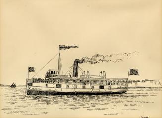
Steamer ''J.W. Steinhoff'', 1876-1899 (Great Lakes)
1915?
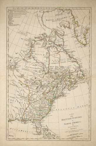
A Map of the British Empire in North America, by Samuel Dunn, Mathematician
1774
History of Michigan, civil and topographical, in a compendious form, with a view of the surrounding lakes
1839
/ 1
RDF
XML
JSON