Skip to main content
Search
Objects
(181,123)
People
(41,122)
Close
Refine Results
Show Only Public Domain
Format
*
Map
(38)
Date
to
Names
Bayfield, Henry Wolsey, 1795-1885
(5)
J & C Walker
(5)
Hydrographic Office
(5)
Bellin, Jacques Nicolas, 1703-1772
(3)
Cassini, Giovanni Maria
(2)
J.H. Bufford & Co's Lith, Boston
(2)
Unknown
(2)
Brockville and Ottawa Railway Company
(1)
Burland Lith. Company Montreal
(1)
Captain in his majesties navy
(1)
Load all
Subject
Maps
(38)
Colonies
(6)
Maps and surveys
(6)
Nautical charts
(5)
Forts and fortifications
(3)
Cities and towns
(2)
Plans
(2)
Cables, Submarine
(1)
Early maps
(1)
French and Indian War, 1755-1763
(1)
Load all
Collection
Baldwin Collection of Canadiana
(38)
Language
English
(30)
French
(5)
Italian
(2)
German
(1)
Building, monument or park
Fort Frontenac
(1)
City, town or township
Québec
(8)
Montréal
(3)
Kingston
(2)
Belleville
(1)
Brockville
(1)
Ottawa
(1)
Toronto
(1)
Sort:
Relevance
Date (Older First)
Date (Newer First)
Title (A–Z)
Title (Z–A)
Last Updated (Ascending)
Last Updated (Descending)
List
Images
Table
/ 2
Next
Filters
38 results for
*
Result type
Objects
People
St. Lawrence River
Map
Clear All Filters
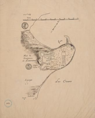
Fort Frontenac ou Katarakouy (November 13 1685)
Approximately 1910
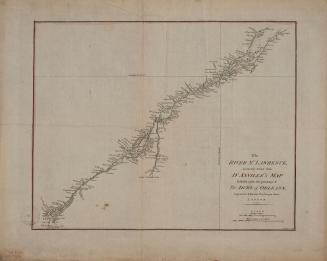
The River St. Lawrence accurately drawn from D'Anville's map
Approximately 1790
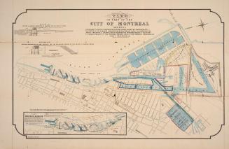
Map of part of the city of Montréal shewing …
Approximately 1850
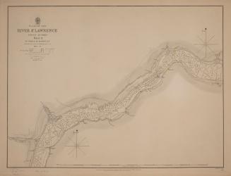
Plans of the River St. Lawrence above Québec sheet IV Lake St. Peter
1831
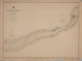
Plans of the River St. Lawrence above Québec sheet III Batiscan to Lake St. Peter
1831
Plans of the River St. Lawrence above Québec sheet II St. Croix to Batiscan
1837
Plans of the River St. Lawrence above Québec sheet I Québec to St Croix
1837
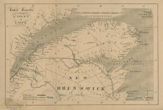
Lower Canada from L'Islet to Gaspé
1861
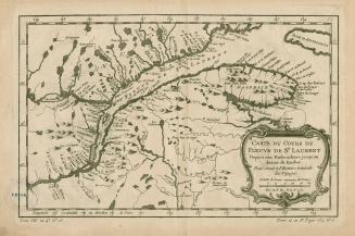
Carte du cours du Fleuve de St.Laurent Depuis son Embouchure jusqu'au dessus de Quebec, Pour servir à l'Histoire Générale des Voyages
1757
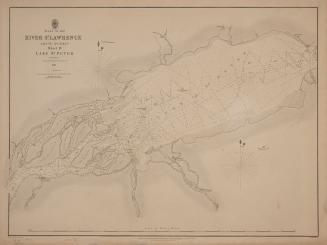
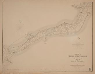
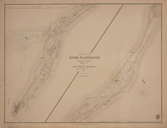
Plans of the River St. Lawrence above Québec sheet V from Lake St. Peter to Montréal
1834
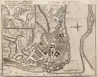
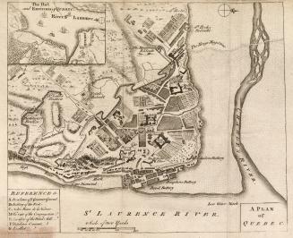
A plan of Québec
1759
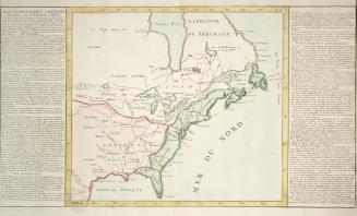
Gli Stati Uniti dell' America delineati sulle ultime osservazioni, secondo foglio che comprende parte della Nuovo Inghilterra ed inoltre la Nuova Scotia e porzione del Canada
1797
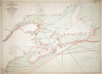
Coast telegraph chart of the Gulf and lower St. Lawrence and Maritime Provinces
1881
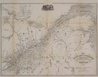
Map of Canada East or Lower Canada compiled from Government plans original documents and observations
1855
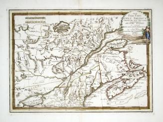
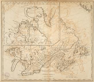
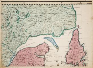
British Possessions in North America from the best authorities
1794
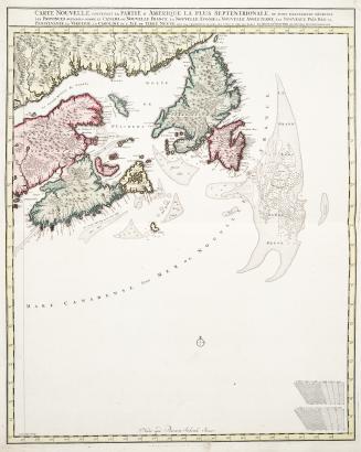
Carte Nouvelle contenant la Partie d'Amérique la plus septentrionale, où sont exactement décrites les Provinces suivantes comme le Canada ou Nouvelle (...)
Approximately 1700
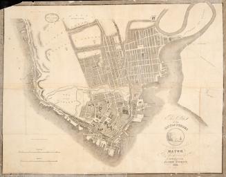
This plan of the city of Québec is respectfully inscribed to the mayor R.E. Caron, Esq.
1835
Plan of Québec
1759
Des possessions Francoises aujourd'hui sous la domination Angloises
1780
A map of the British Empire in America with the French and Spanish settlements adjacent thereto (part 3)
1733
/ 2
Next
RDF
XML
JSON