Skip to main content
Search
Objects
(181,123)
People
(41,122)
Close
Refine Results
Show Only Public Domain
Format
Map
(30)
Picture
(9)
Book
(6)
Ephemera
(2)
Date
to
Names
Snider, C.H.J. (Charles Henry Jeremiah), 1879-1971
(6)
Bayfield, Henry Wolsey, 1795-1885
(5)
J & C Walker
(5)
Hydrographic Office
(5)
Bellin, Jacques Nicolas, 1703-1772
(2)
Gazette (Montréal, Québec)
(2)
George, James, 1800-1870
(2)
Grier, Edmund Wyly, Sir, 1862-1957
(2)
Harper & Brothers
(2)
J.H. Bufford & Co's Lith, Boston
(2)
Load all
Subject
Maps
(30)
Maps and surveys
(6)
Steamboats
(6)
Colonies
(5)
Nautical charts
(5)
Guidebooks
(4)
Camping
(2)
Cattle
(2)
Cities and towns
(2)
Forts and fortifications
(2)
Load all
Collection
Baldwin Collection of Canadiana
(47)
Language
*
English
(47)
City, town or township
Québec
(8)
Montréal
(3)
Cornwall
(2)
Belleville
(1)
Brockville
(1)
Gaspé
(1)
Kingston
(1)
Ottawa
(1)
Sault Ste. Marie (Ontario)
(1)
Toronto
(1)
Load all
Sort:
Relevance
Date (Older First)
Date (Newer First)
Title (A–Z)
Title (Z–A)
Last Updated (Ascending)
Last Updated (Descending)
List
Images
Table
/ 3
Next
Filters
47 results for
*
Result type
Objects
People
St. Lawrence River
English
Clear All Filters
Encampment of the Loyalists at Johnstown [Cornwall]
1896
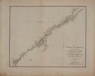
The River St. Lawrence accurately drawn from D'Anville's map
Approximately 1790
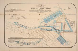
Map of part of the city of Montréal shewing …
Approximately 1850
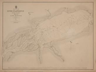
Plans of the River St. Lawrence above Québec sheet IV Lake St. Peter
1831
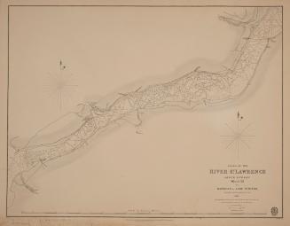
Plans of the River St. Lawrence above Québec sheet III Batiscan to Lake St. Peter
1831
Plans of the River St. Lawrence above Québec sheet II St. Croix to Batiscan
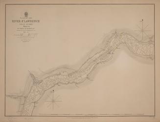
1837
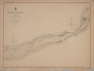
Plans of the River St. Lawrence above Québec sheet I Québec to St Croix
1837
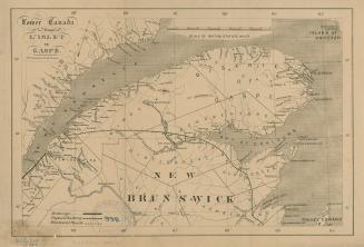
Lower Canada from L'Islet to Gaspé
1861
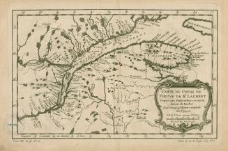
Carte du cours du Fleuve de St.Laurent Depuis son Embouchure jusqu'au dessus de Quebec, Pour servir à l'Histoire Générale des Voyages
1757
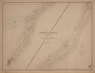
Plans of the River St. Lawrence above Québec sheet V from Lake St. Peter to Montréal
1834
The tourist, or Pocket manual for travellers on the Hudson River, the western canal and stage road to Niagara Falls down Lake Ontario and the St. Lawr(...)
1834
The tourist, or Pocket manual for travellers on the Hudson River, the western canal and stage road to Niagara Falls down Lake Ontario and the St. Lawr(...)
1836
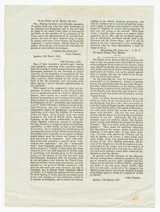
To the editor of the Quebec Gazette
1837
A few comments upon Mr. Macaulay's remarks on the internal water communications of the Canadas as published in the Quebec gazette of the 8th February
1837
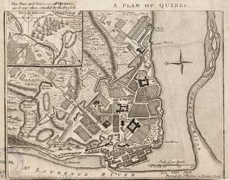
A plan of Québec
1759
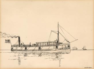
Steamer "Lord Elgin", 1852-64 (St. Lawrence River & Lake Ontario)
approximately 1915
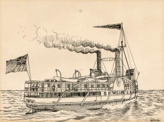
Steamer "Welland" 1853-1856 (Lake Ontario)
approximately 1915
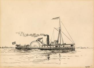
Steamer "Arabian", 1851-63 (Lake Ontario & St. Lawrence River)
approximately 1915
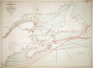
Coast telegraph chart of the Gulf and lower St. Lawrence and Maritime Provinces
1881
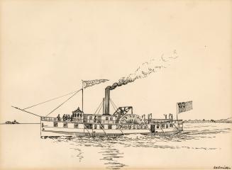
Steamer "Novelty", 1852; Cora Linn", 1860 (Lake Ontario & St. Lawrence River)
approximately 1915
/ 3
Next
RDF
XML
JSON
![Encampment of the Loyalists at Johnstown [Cornwall]](/internal/media/dispatcher/1950801/thumbnail)