Skip to main content
Search
Objects
(181,123)
People
(41,125)
Close
Refine Results
Show Only Public Domain
Format
Picture
(17)
Date
to
Names
Chirnside, Ted
(13)
Unknown
(3)
Salmon, James V. (James Victor)
(1)
Subject
Streets
(7)
Farms
(6)
Shopping centers
(6)
Dwellings
(3)
Bars (Drinking establishments)
(2)
Church buildings
(2)
Hospitals
(2)
Taverns (Inns)
(2)
Design and construction
(1)
Portraits
(1)
Load all
Collection
*
Baldwin Collection of Canadiana
(17)
Language
English
(17)
City, town or township
Toronto
(17)
Neighbourhood
*
Newtonbrook
(17)
North-south street
*
Yonge Street
(17)
East-west street
Cummer Avenue
(6)
Steeles Avenue West
(6)
Finch Avenue West
(1)
Sort:
Relevance
Date (Older First)
Date (Newer First)
Title (A–Z)
Title (Z–A)
Last Updated (Ascending)
Last Updated (Descending)
List
Images
Table
/ 1
Filters
17 results for
*
Result type
Objects
People
Newtonbrook
Yonge Street
Baldwin Collection of Canadiana
Clear All Filters
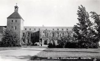
St. John's Convalescent Hospital - Newtonbrook, Ontario
Approximately 1940
St. John's Convalescent Hospital
Approximately 1940
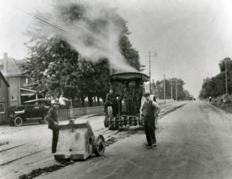
Yonge Street, looking south at Cummer Avenue, showing road construction, Toronto, Ontario
1922
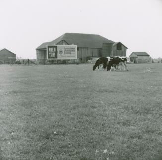
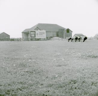
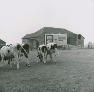
Robinson dairy farm barn and cattle, southwest quadrant of Yonge Street and Steeles Avenue, currently Centerpoint Mall. Toronto, Ontario
9/2/1957
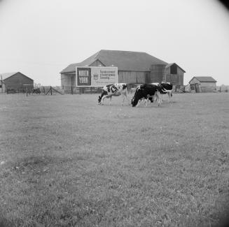
Robinson dairy farm barn and cattle, southwest quadrant of Yonge Street and Steeles Avenue, currently Centerpoint Mall, Toronto, Ontario.
9/2/1957
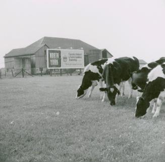
Robinson dairy farm barn and cattle, southwest quadrant of Yonge Street and Steeles Avenue, currently Centerpoint Mall. Toronto, Ontario
9/2/1957
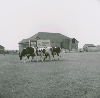
Robinson dairy farm barn and cattle, southwest quadrant of Yonge Street and Steeles Avenue, currently Centerpoint Mall. Toronto, Ontario
9/2/1957
Robinson dairy farm barn and cattle, southwest quadrant of Yonge Street and Steeles Avenue, currently Centerpoint Mall. Toronto, Ontario
9/2/1957
Robinson dairy farm barn and cattle, southwest quadrant of Yonge Street and Steeles Avenue, currently Centerpoint Mall. Toronto, Ontario
9/2/1957
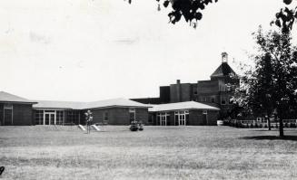
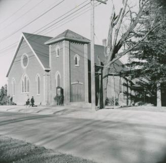
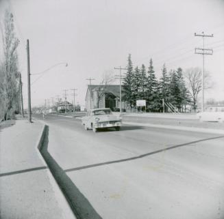
Newtonbrook United Church, Yonge Street, east side, south of Cummer Avenue, Toronto, Ontario
11/1/1958
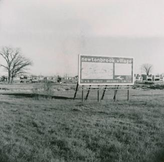
Newtonbrook Village development. View is looking east from Yonge Street, south of Cummer Avenue at future site of Averill Crescent and Mullet Road. Toronto, Ontario
11/1/1958
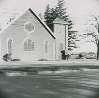
Newtonbrook United Church, Yonge Street, east side, south of Cummer Ave., Toronto, Ontario
11/1/1958
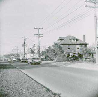
Looking north on Yonge Street from south of Cummer Avenue and Drewry Avenue at large house on the southeast corner of Yonge and Cummer
11/1/1958
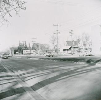
Yonge Street looking north opposite Algonquin Tavern (between Bishop & Cummer Aves
11/1/1958
Yonge Street looking north opposite Algonquin Tavern (between Bishop & Cummer Aves
11/1/1958
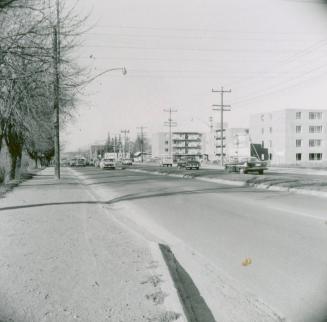
Yonge Street looking north from Hendon Avenue, Toronto, Ontario
11/1/1958
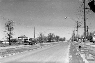
Yonge Street, looking north from Athabaska Avenue
17 April 1955
/ 1
RDF
XML
JSON