Skip to main content
Search
Objects
(181,123)
People
(41,122)
Close
Refine Results
Show Only Public Domain
Format
Map
(2)
Date
to
Names
Copp Clark Company
(1)
James, Silias, 1834-1915
(1)
Cotterell, Alfred
(1)
Rolph, Smith & Co.
(1)
Subject
Land subdivision
(2)
Maps
(2)
Maps and surveys
(2)
Collection
Baldwin Collection of Canadiana
(2)
Language
English
(2)
City, town or township
Toronto
(2)
Neighbourhood
*
Rosedale-Moore Park
(2)
Seaton Village
(2)
Yorkville
(2)
Annex
(1)
Deer Park
(1)
Wychwood-Hillcrest
(1)
North-south street
Yonge Street
(2)
Bathurst Street
(1)
Christie Street
(1)
Sherbourne Street
(1)
East-west street
*
Bloor Street East
(2)
Bloor Street West
(2)
St. Clair Avenue East
(2)
St. Clair Avenue West
(2)
Davenport Road
(1)
Sort:
Relevance
Date (Older First)
Date (Newer First)
Title (A–Z)
Title (Z–A)
Last Updated (Ascending)
Last Updated (Descending)
List
Images
Table
/ 1
Filters
2 results for
*
Result type
Objects
People
Rosedale-Moore Park
St. Clair Avenue West
Clear All Filters
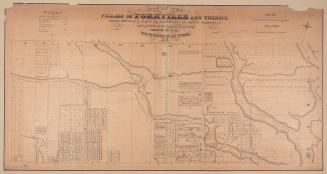
Map of Yorkville and its vicinity
1878
Map of the village of Yorkville and vicinity, compiled from plans & filed in the Registry Office
1877
/ 1
RDF
XML
JSON