Skip to main content
Search
Objects
(181,263)
People
(41,132)
Close
Refine Results
Show Only Public Domain
Format
Picture
(48)
Map
(12)
Date
to
Names
Salmon, James V. (James Victor)
(13)
Bluebell (Ship)
(12)
Unknown
(12)
Robertson, J. Ross (John Ross), 1841-1918
(8)
Williams, Charles A., active 1897-1962
(5)
Royal Canadian Yacht Club
(4)
Royal Engineers Office (Quebec)
(4)
Cayuga (Steamer : 1907-1960)
(3)
Van & Ryan Photographers
(3)
Toronto Dry Dock Co. Ltd
(3)
Load all
Subject
Harbour
(18)
Paddle steamers
(16)
Factories
(14)
Ferries
(13)
Maps
(12)
Military buildings
(8)
Maps and surveys
(6)
Streets
(6)
Forts and fortifications
(5)
Government buildings
(4)
Load all
Collection
*
Baldwin Collection of Canadiana
(60)
Language
English
(56)
No linguistic content
(4)
Building, monument or park
Toronto Harbour
(6)
Fort York
(2)
Centre Island
(1)
Hanlan's Point (Centre Island)
(1)
Union Station (Toronto, Ont. : 1873-1927)
(1)
City, town or township
Toronto
(60)
Neighbourhood
*
Harbour
(60)
Toronto Islands
(60)
Garrison
(9)
Exhibition
(8)
Port Lands
(7)
Railway Lands
(7)
St. Lawrence
(4)
Cabbagetown
(1)
Financial District
(1)
King-Spadina
(1)
Load all
North-south street
Leslie Street
(1)
Parliament Street
(1)
Yonge Street
(1)
East-west street
Front Street East
(1)
King Street East
(1)
Queen Street East
(1)
Sort:
Relevance
Date (Older First)
Date (Newer First)
Title (A–Z)
Title (Z–A)
Last Updated (Ascending)
Last Updated (Descending)
List
Images
Table
/ 3
Next
Filters
60 results for
*
Result type
Objects
People
Toronto Islands
Harbour
Baldwin Collection of Canadiana
Clear All Filters
(1816) Plan of the harbour, fort and town of York, the capital of Upper Canada, March 16th 1816
Approximately 1908
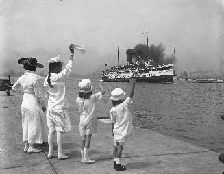
Cayuga (1907-1960), leaving Toronto through Eastern Gap
1918-07?
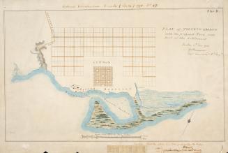
(1788) Plan of Toronto Harbour with the proposed town and part of the settlement, Québec 6th Dec. 1788, Gothermann, Capn. Commandg. Rl. Engrs. Colonial Correspondence Canada (Québec) 1790 no. 47 Plan B
Approximately 1908
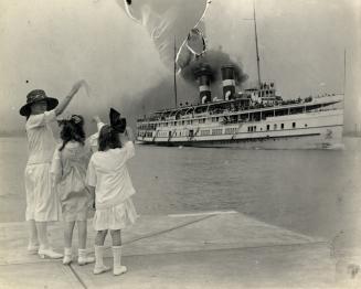
CAYUGA (1907-1960), leaving Toronto harbour
1919
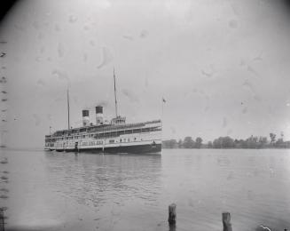
Cayuga (1907-1960), in Toronto harbour
1942
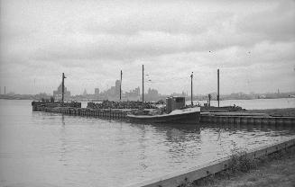
Ferry Docks, Ward's Island, showing freight launch 'Chuckie Joe'. Toronto, Ont.
9/15/1954
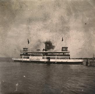
Mayflower (Toronto Island Ferry)
189-?
Looking south towards Gibralter Point, showing firing of salute
1793
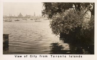
View of city from Toronto Islands
Approximately 1920
Toronto Island Park
Approximately 1964
Toronto, Ontario, View from the Islands
192-?
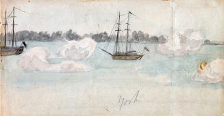
On Toronto Bay, looking towards the Islands from Brown's Wharf, west of foot of Church St., Toronto, Ontario
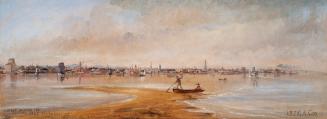
1835
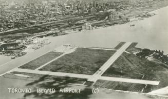
Toronto Island Airport, Hanlan's Point
1940
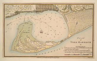
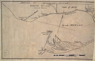
Plan of York Harbour
1815
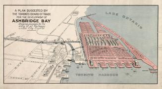
A plan suggested by the Toronto Board of Trade for the development of Ashbridge Bay showing provisions for the entry of all railways under city control
1910
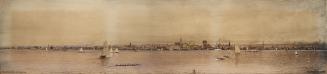
Toronto in 1908
1908
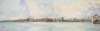
Toronto in 1849
1849
Looking north east from Hanlan's Point, from about Spadina Avenue on the west to about Don River on the east. Toronto, Ont.
1875
(1814) Plan of the town and harbour of York
Approximately 1908
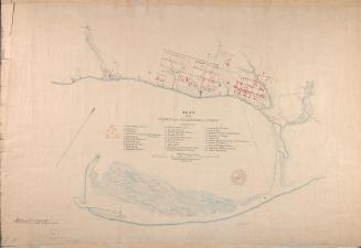
(1816) Garrison reserve and Town of York
Approximately 1908
/ 3
Next
RDF
XML
JSON