Skip to main content
Search
Objects
(181,123)
People
(41,125)
Close
Refine Results
Show Only Public Domain
Format
Map
(13)
Picture
(8)
Date
to
Names
Robertson, J. Ross (John Ross), 1841-1918
(7)
Royal Engineers Office (Quebec)
(4)
Unknown
(3)
Bouchette, J. (Joseph), 1774-1841
(2)
Nicolls, Gustavus
(2)
Alexander, William Walker, 1866-1948
(1)
Aitken, Alexander, -1800
(1)
Chambers, John (Commissioner of Parks)
(1)
Bayfield, H. W.
(1)
Bonnycastle, Richard Henry, Sir, 1791-1847
(1)
Load all
Subject
*
Harbour
(21)
Maps
(13)
Maps and surveys
(8)
Military buildings
(7)
Forts and fortifications
(4)
Harbors
(4)
Government buildings
(3)
Land subdivision
(3)
Wharves
(3)
Buildings
(2)
Load all
Collection
*
Baldwin Collection of Canadiana
(21)
Language
English
(20)
No linguistic content
(1)
Building, monument or park
Toronto Harbour
(8)
Fort York
(2)
City, town or township
Toronto
(21)
Neighbourhood
*
Toronto Islands
(21)
Harbour
(18)
Exhibition
(7)
Garrison
(7)
Port Lands
(7)
Railway Lands
(7)
St. Lawrence
(4)
Cabbagetown
(1)
Financial District
(1)
King-Spadina
(1)
Load all
North-south street
Leslie Street
(1)
Parliament Street
(1)
Yonge Street
(1)
East-west street
Front Street East
(1)
King Street East
(1)
Queen Street East
(1)
Sort:
Relevance
Date (Older First)
Date (Newer First)
Title (A–Z)
Title (Z–A)
Last Updated (Ascending)
Last Updated (Descending)
List
Images
Table
/ 2
Next
Filters
21 results for
*
Result type
Objects
People
Toronto Islands
Baldwin Collection of Canadiana
Harbour
Clear All Filters
(1816) Plan of the harbour, fort and town of York, the capital of Upper Canada, March 16th 1816
Approximately 1908
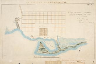
(1788) Plan of Toronto Harbour with the proposed town and part of the settlement, Québec 6th Dec. 1788, Gothermann, Capn. Commandg. Rl. Engrs. Colonial Correspondence Canada (Québec) 1790 no. 47 Plan B
Approximately 1908
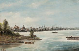
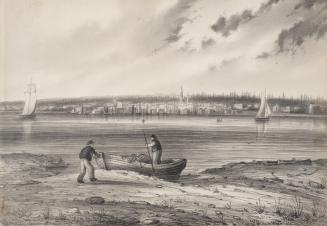
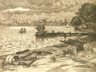
Toronto from the Island
1903?
Toronto, Ontario, View from the Islands
192-?
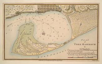
Plan of York Harbour
1815
A plan suggested by the Toronto Board of Trade for the development of Ashbridge Bay showing provisions for the entry of all railways under city control
1910
Toronto in 1908
1908
Looking north east from Hanlan's Point, from about Spadina Avenue on the west to about Don River on the east. Toronto, Ont.
1875
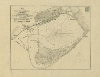
(1814) Plan of the town and harbour of York
Approximately 1908
(1818) Plan of York surveyed and drawn by Lieut. Phillpotts Royal Engineers
1907
Toronto Island, plan of park improvement and proposed water ways to accompany a report of commissioner of parks, dated Dec. 15th, 1903
1903
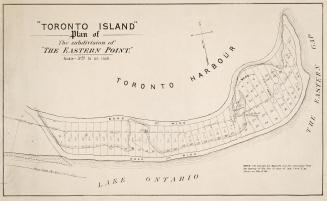
''Toronto Island'' Plan of the subdivision of ''The Eastern Point''
1880
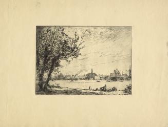
Toronto from the Island
1845
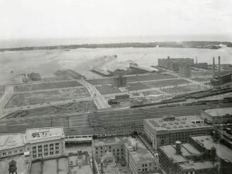
Toronto Harbour 1931. Looking south from north of Front Street West, Bay St. in centre
1931
View from the Toronto Islands, Toronto Ontario. Clouds over Toronto from the Island
190-?
Canada Lake Ontario Toronto Harbour from plans supplied by the Canadian Government, 1906
1907
(1793) Plan of York harbour surveyed by order of Lieut. Govr. Simcoe by A. Aitken
1908
Toronto Bay, 1905
1930
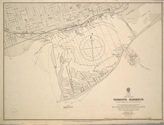
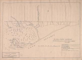
(1828) Plan of Toronto Harbour, Lake Ontario surveyed under the direction of Captn W.F.W. Owen, R.N
Approximately 1908
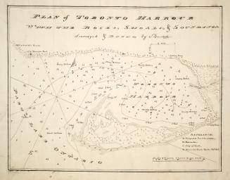
Plan of Toronto Harbour with the rocks, shoals & Soundings
1792
/ 2
Next
RDF
XML
JSON