Skip to main content
Search
Objects
(180,934)
People
(41,093)
Close
Refine Results
Show Only Public Domain
Format
Map
(175)
Date
to
Names
Jefferys, Thomas, -1771
(18)
Bellin, Jacques Nicolas, 1703-1772
(13)
Braun, Georg, 1541-1622
(13)
Hogenberg, Frans, 1535-1590
(12)
Faden William, 1749-1836
(10)
Wm. Faden
(10)
Sayer, Robert, 1725-1794
(10)
Thomas Jefferys
(10)
Robert Sayer and John Bennett (Firm)
(9)
Hoefnagel, Joris, 1542-1600
(6)
Load all
Subject
Maps
(167)
Cities and towns
(20)
Colonies
(18)
Pictorial maps
(14)
Administrative and political divisions
(11)
Discovery and exploration
(11)
Early maps
(9)
Cities and towns, Medieval
(8)
History
(7)
Revolution, 1775-1783
(7)
Load all
Collection
Baldwin Collection of Canadiana
(175)
Language
English
(95)
French
(37)
Latin
(27)
German
(15)
Italian
(10)
Dutch
(2)
Building, monument or park
Fort Frontenac
(1)
Fort Ticonderoga (N.Y.)
(1)
City, town or township
Charleston
(2)
Québec
(2)
Arras
(1)
Cairo
(1)
Kingston
(1)
New Orleans
(1)
New York
(1)
Palma
(1)
Saratoga
(1)
Savannah
(1)
Load all
Neighbourhood
Manhattan (New York, N.Y)
(1)
Sort:
Relevance
Date (Older First)
Date (Newer First)
Title (A–Z)
Title (Z–A)
Last Updated (Ascending)
Last Updated (Descending)
List
Images
Table
/ 9
Next
Filters
175 results for
*
Result type
Objects
People
Early maps
Clear All Filters
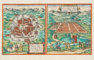
Mexico regia et celebris Hispaniae Novae civitas.
1572
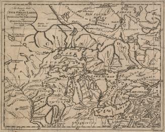
An exact map of the five Great Lakes, with part of Pensilvania, New York, Canada and Hudson's Bay Territories from the best surveys 1778
1778
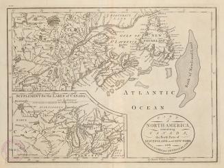
Part of North America, containing Canada, the north parts of New England and New York, with Nova Scotia and Newfoundland
1755
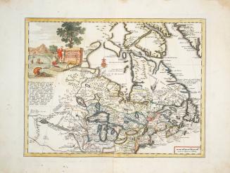
Carta geografica del Canada nell'America settentrionale
1750
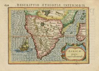
Africa pars Meridional
1618
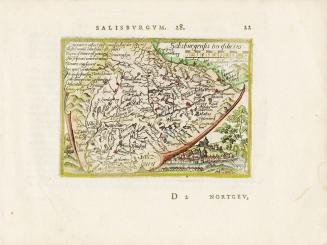
Salisburgensis Iurisdictio
Approximately1588
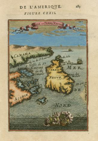
Isle de Terre Neuve
1683
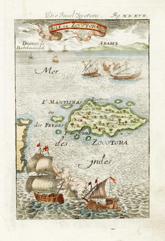
Isle de Zocotora
1684
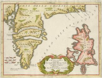
Frislanda, Scoperta da Nicolo Zeno Patritio Veneto Creduta Favolosa, o nel Mare Somersa
Approximately 1695
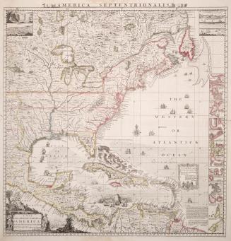
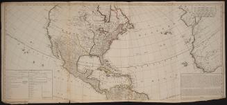
A map of the British Empire in America with the French and Spanish settlements adjacent thereto
Approximately 1733
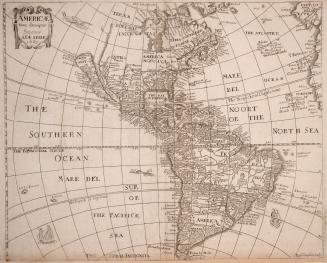
America with those known parts in that unknowne worlde both people and manner of buildings discribed and inlarged by I
1626
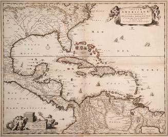
Insulae Americanae in Oceano Septentrionali ac regiones adiacentes, a C. de May usque ad lineam aequinoctialem
Approximately 1684
Americae nova descriptio impensis Anae Seile 1663
1663
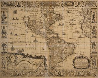
A new and most exact map of America, described by N
1668
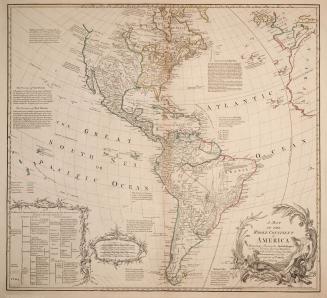
A map of the whole continent of America particularly shewing the British empire in the northern part of America with the divisions of the new governments since the accession of Canada and Florida
1765
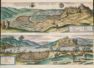
Strigonium
1595
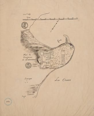
Fort Frontenac ou Katarakouy (November 13 1685)
Approximately 1910
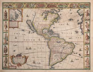
Continent and islands of America possessed by European nations
1765
The Western or Atlantic Ocean
30 May 1775
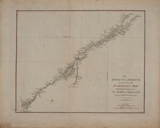
The River St. Lawrence accurately drawn from D'Anville's map
Approximately 1790
/ 9
Next
RDF
XML
JSON