Skip to main content
Search
Objects
(181,016)
People
(41,114)
Close
Refine Results
Show Only Public Domain
Format
Map
(44)
Date
to
Names
Unknown
(11)
Robertson, J. Ross (John Ross), 1841-1918
(8)
Royal Engineers Office (Quebec)
(4)
Nicolls, Gustavus
(3)
Blondel la Rougery
(2)
Durnford, E. W. (Elias Walker), 1774-1850
(2)
Bonnycastle, Richard Henry, Sir, 1791-1847
(2)
George Philip & Son Ltd.
(2)
Geographia Ltd.
(2)
Walker, John, 1786-1873
(2)
Load all
Subject
Maps
(44)
World War, 1914-1918
(21)
Military buildings
(10)
War of 1812
(10)
History
(9)
Maps and surveys
(7)
Forts and fortifications
(6)
Government buildings
(5)
Harbour
(5)
Boundaries
(4)
Load all
Collection
Baldwin Collection of Canadiana
(43)
Humanities and Social Sciences department
(1)
Language
English
(42)
French
(2)
Building, monument or park
Fort York
(5)
Toronto Harbour
(2)
City, town or township
Toronto
(10)
Châteauguay
(1)
Neighbourhood
Garrison
(8)
Harbour
(8)
Exhibition
(7)
Toronto Islands
(6)
Railway Lands
(5)
Port Lands
(3)
St. Lawrence
(3)
King-Spadina
(2)
Cabbagetown
(1)
Regent Park
(1)
Load all
North-south street
Bathurst Street
(1)
East-west street
King Street West
(1)
Sort:
Relevance
Date (Older First)
Date (Newer First)
Title (A–Z)
Title (Z–A)
Last Updated (Ascending)
Last Updated (Descending)
List
Images
Table
/ 3
Next
Filters
44 results for
*
Result type
Objects
People
Military maps
Clear All Filters
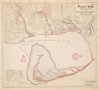
(1816) Plan of the harbour, fort and town of York, the capital of Upper Canada, March 16th 1816
Approximately 1908
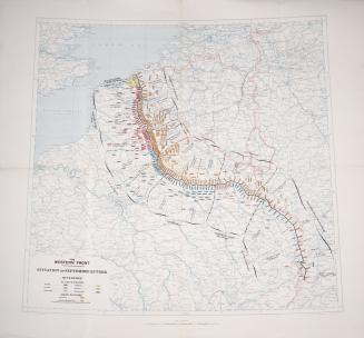
The western front. Situation on September 25th 1918
1918
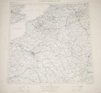
Western theatre of war
1915
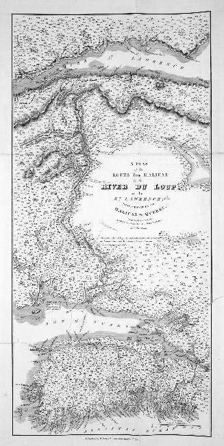
A Plan of the Route from Halifax to the River du Loup on the St
1815
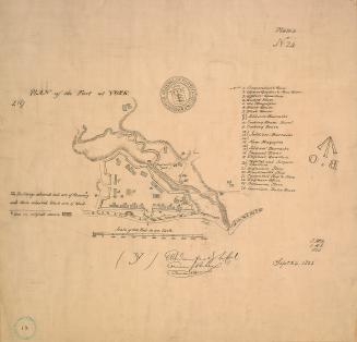
(1823) Plan of the fort at York, no. 24
Approximately 1908
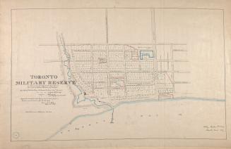
(1837) Toronto military reserve as laid out by Captn Bonnycastle Royal Engineers and resurveyed by William Hawkins Dy. Surveyor
Approximately 1908
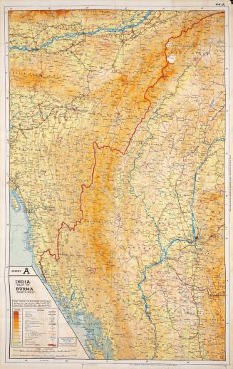
Sheet A India (Part Of) Burma (North West) : Sheet B Burma (North East) Siam (Thailand) (North) French Indo China (Part Of) China (Part Of)
Approximately 1944
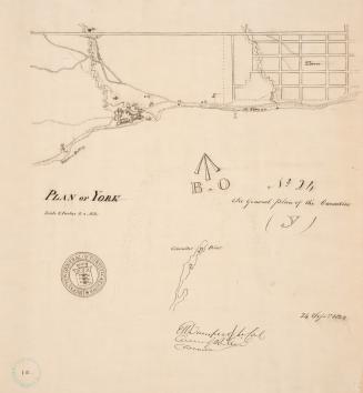
(1823) Plan of York
Approximately 1908
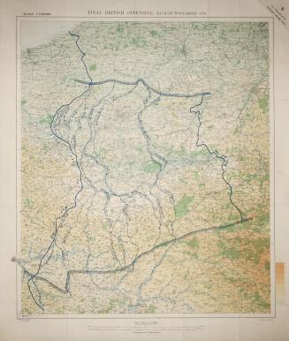
Final British offensive August-November 1918
1919
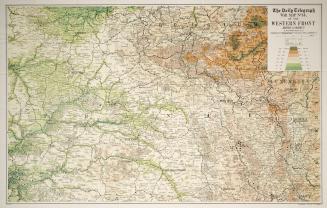
The Daily Telegraph war map no. 14 of the Western Front, Arras to Nancy
1916 circa
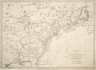
A new and correct map of North America in which the Places of the Principal Engagements during the Present War are accurately inserted
1780-04-26
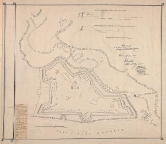
(1816) Plan of the fort at York Upper Canada shewing its state in March 1816
Approximately 1908
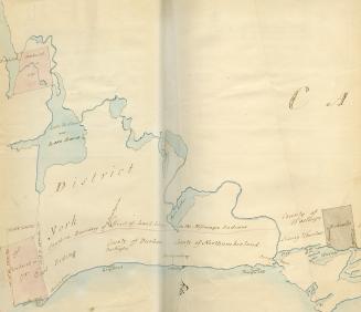
Purchases from the Indians in 1787, the Mohawks land and boundary of the lands of the Mississauga Indians
1787
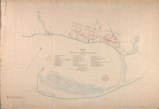
(1814) Plan of the town and harbour of York
Approximately 1908
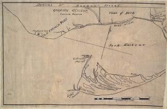
(1816) Garrison reserve and Town of York
Approximately 1908
(1818) Plan of York surveyed and drawn by Lieut. Phillpotts Royal Engineers
1907
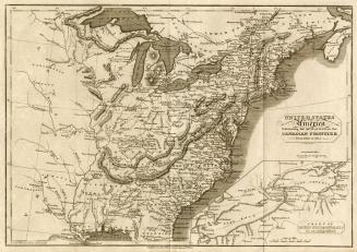
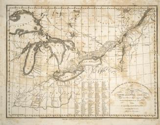
United States of America exhibiting the seat of war on the Canadian frontier from 1812 to 1815
1816-08-05
To the officers of the Army and the citizens of the United States This map of Upper and Lower Canada and United States contigious Contracted from the (...)
1812
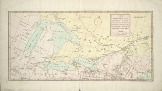
A map of the American Lakes and Adjoining Country, the present Seat of War between Great Britain & the United States
1813
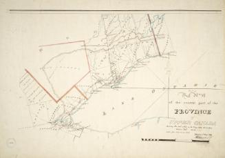
Part of the central part of the province of Upper Canada shewing the seat of War in the Years 1812, 1813 & 1814
1819
/ 3
Next
RDF
XML
JSON