Skip to main content
Search
Objects
(181,123)
People
(41,122)
Close
Refine Results
Show Only Public Domain
Format
Map
(5)
Date
to
Names
Bayfield, Henry Wolsey, 1795-1885
(4)
J & C Walker
(4)
Hydrographic Office
(4)
Arrowsmith, John, 1790-1873
(1)
British American Land Company
(1)
Wells, A.
(1)
Subject
Maps
(5)
Maps and surveys
(5)
Nautical charts
(4)
Collection
Baldwin Collection of Canadiana
(5)
Language
English
(5)
City, town or township
*
Québec
(5)
Montréal
(1)
Sort:
Relevance
Date (Older First)
Date (Newer First)
Title (A–Z)
Title (Z–A)
Last Updated (Ascending)
Last Updated (Descending)
List
Images
Table
/ 1
Filters
5 results for
*
Result type
Objects
People
Regional maps
Québec
Clear All Filters
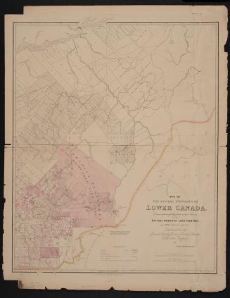
Map of the Eastern Townships of Lower Canada, drawn principally from actual survey for the British American Land Company
22 May 1839
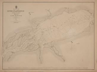
Plans of the River St. Lawrence above Québec sheet IV Lake St. Peter
1831
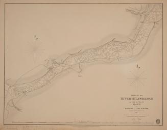
Plans of the River St. Lawrence above Québec sheet III Batiscan to Lake St. Peter
1831
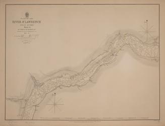
Plans of the River St. Lawrence above Québec sheet II St. Croix to Batiscan
1837
Plans of the River St. Lawrence above Québec sheet V from Lake St. Peter to Montréal
1834
/ 1
RDF
XML
JSON