Skip to main content
Search
Objects
(181,123)
People
(41,122)
Close
Refine Results
Show Only Public Domain
Format
Map
(5)
Date
to
Names
Brockville and Ottawa Railway Company
(1)
British and Colonial Land and Securities Co.
(1)
Dunnington-Grubb and Harries Landscape Architects
(1)
Grand Trunk Railway Company of Canada
(1)
MacDiarmid, F. G.
(1)
McLean, W. A. (Deputy Minister of Highways, Ont.)
(1)
Banting, Ernest Waldemar
(1)
Ontario. Department of Public Highways
(1)
Rolph, Smith & Co.
(1)
Grand Junction Railroad Company
(1)
Load all
Subject
Maps
(5)
Railroads
(3)
Land subdivision
(1)
Roads
(1)
Collection
Baldwin Collection of Canadiana
(5)
Language
English
(5)
City, town or township
*
Toronto
(5)
Ottawa
(2)
Barrie
(1)
Belleville
(1)
Brockville
(1)
Collingwood
(1)
King (Ont. : Township)
(1)
Kingston
(1)
Montréal
(1)
Orillia
(1)
Load all
Neighbourhood
Cedarvale
(1)
Sort:
Relevance
Date (Older First)
Date (Newer First)
Title (A–Z)
Title (Z–A)
Last Updated (Ascending)
Last Updated (Descending)
List
Images
Table
/ 1
Filters
5 results for
*
Result type
Objects
People
Regional maps
Toronto
Clear All Filters
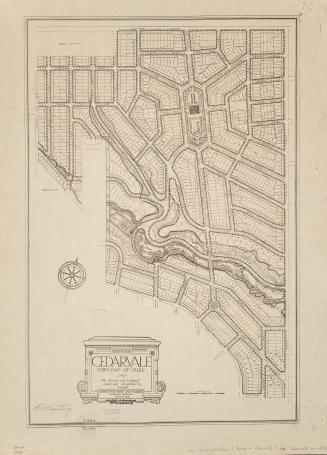
Cedarvale, township of York
1913
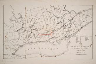
Map shewing the Grand Junction and Toronto & Ottawa Railway
1880
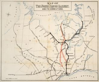
Map of the North Simcoe Railway, and its connections
Approximately 1878
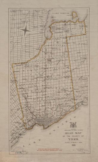
Road map of the County of York
1918
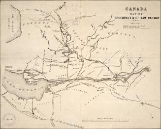
Canada map of Brockville & Ottawa Railway
Approximately 1856
/ 1
RDF
XML
JSON