Skip to main content
Search
Objects
(181,123)
People
(41,122)
Close
Refine Results
Show Only Public Domain
Format
Map
(11)
Date
to
Names
*
Arrowsmith, John, 1790-1873
(11)
Hind, Henry Youle, 1823-1908
(4)
Great Britain. Army. Royal Engineers
(2)
Great Britain. Royal Navy
(2)
Douglas, James, 1803-1877
(2)
Canada Company
(1)
J. Arrowsmith
(1)
British American Land Company
(1)
Wells, A.
(1)
Subject
Maps
(11)
Discovery and exploration
(8)
Gold mines and mining
(1)
Maps and surveys
(1)
Mines and mineral resources
(1)
Natural resources
(1)
Roads
(1)
Collection
Baldwin Collection of Canadiana
(11)
Language
English
(11)
City, town or township
Québec
(1)
Sort:
Relevance
Date (Older First)
Date (Newer First)
Title (A–Z)
Title (Z–A)
Last Updated (Ascending)
Last Updated (Descending)
List
Images
Table
/ 1
Filters
11 results for
*
Result type
Objects
People
Regional maps
Arrowsmith, John, 1790-1873
Clear All Filters
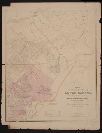
Map of the Eastern Townships of Lower Canada, drawn principally from actual survey for the British American Land Company
22 May 1839
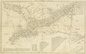
Map of the townships in Canada West
1845
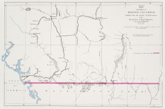
Map of a portion of British Columbia / compiled from the surveys & explorations of the Royal Navy & Royal Engineers, at the camp, New Westminster Novr. 24th 1859
1859
Map of a portion of British Columbia / compiled from the surveys & explorations of the Royal Navy & Royal Engineers, at the camp, New Westminster Novr. 24th 1859
1859
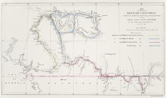
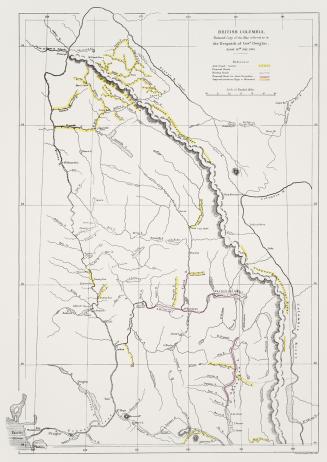
British Columbia, reduced copy of the map referred to in the despatch of Governor Douglas, dated 16th July, 1861
1861
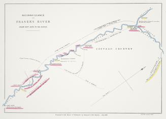
Reconaissance of Fraser's River from Fort Hope to the Forks
1858
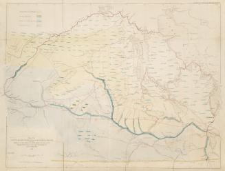
Map of the country between Red River & Lake Winnipeg on the east elbow of the South Saskatchewan, on the west, explored by the expedition under the charge of Henry Y. Hind, M.A.
1858
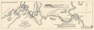
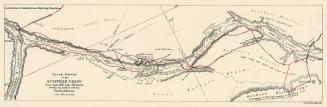
Track survey of the Saskatchewan, between Cedar Lake & Lake Winnipeg shewing the Grand Rapid
1860
Track survey of the Qu'Appelle Valley, from Sand Hill Lake, Westward, shewing its junction with the Saskatchewan
1860
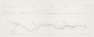
Track survey of the Qu'Appelle or Calling River and Valley
1860
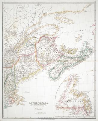
Lower Canada, New Brunswick, Nova Scotia, Prince Edward Island, Newfoundland and a large portion of the United States
1838
/ 1
RDF
XML
JSON