Skip to main content
Search
Objects
(181,123)
People
(41,122)
Close
Refine Results
Show Only Public Domain
Format
Map
(11)
Date
to
Names
*
Unknown
(11)
Stanford's Geographical Establishment
(2)
Canadian Pacific Railway Company
(1)
Lean, Alex
(1)
Roberts, Edward
(1)
Rolph, Smith & Co.
(1)
Selkirk, Thomas Douglas, Earl of, 1771-1820
(1)
Mundell, Alex
(1)
Subject
Maps
(11)
Railroads
(3)
Colonies
(2)
Historical geography
(1)
History
(1)
Road maps
(1)
Roads
(1)
Collection
Baldwin Collection of Canadiana
(11)
Language
English
(11)
City, town or township
Barrie
(1)
Collingwood
(1)
King (Ont. : Township)
(1)
Orillia
(1)
Thunder Bay
(1)
Toronto
(1)
Vaughan
(1)
Sort:
Relevance
Date (Older First)
Date (Newer First)
Title (A–Z)
Title (Z–A)
Last Updated (Ascending)
Last Updated (Descending)
List
Images
Table
/ 1
Filters
11 results for
*
Result type
Objects
People
Regional maps
Unknown
Clear All Filters
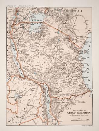
Sketch map of German East Africa and surrounding territories
1916
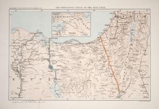
The threatened attack on the Suez Canal
1916
Map of the counties of Russell and Prescott
Approximately 1870
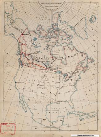
North America
Approximately 1905
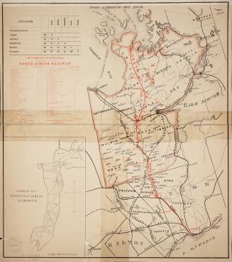
Map of the North Simcoe Railway
1874
Prince Arthur's Landing
Approximately 1880
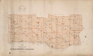
Map of the counties of Dundas, Stormont and Glengarry
Approximately 1880
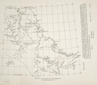
Map of the district of Assiniboia, 1811
1811
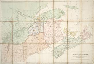
North America, British Provinces of New Brunswick, Nova Scotia & Part of Canada
Approximately 1840
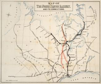
Map of the North Simcoe Railway, and its connections
Approximately 1878
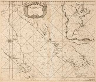
The coast of Newfoundland from Salmon Cove to Cape Bonavista
Approximately 1767
/ 1
RDF
XML
JSON