Skip to main content
Search
Objects
(181,123)
People
(41,122)
Close
Refine Results
Show Only Public Domain
Format
Map
(272)
Ephemera
(1)
Date
to
Names
Burland Lithographic Co.
(35)
Ode, Henri
(16)
Ph. Vandermaelen
(16)
MacDiarmid, F. G.
(14)
McLean, W. A. (Deputy Minister of Highways, Ont.)
(14)
Ontario. Department of Public Highways
(14)
Vandermaelen, Philippe, 1795-1869
(14)
Arrowsmith, John, 1790-1873
(11)
Unknown
(11)
Canada. Department of the Interior
(10)
Load all
Subject
*
Maps
(273)
Discovery and exploration
(22)
Railroads
(17)
Roads
(16)
Colonies
(11)
Maps and surveys
(11)
Natural resources
(5)
Historical geography
(4)
Land subdivision
(4)
Nautical charts
(4)
Load all
Collection
Baldwin Collection of Canadiana
(273)
Language
English
(234)
French
(31)
Italian
(3)
No linguistic content
(2)
Latin
(2)
German
(2)
City, town or township
Québec
(5)
Toronto
(5)
Ottawa
(3)
Grand Prairie (Alberta)
(2)
Montréal
(2)
Argenteuil
(1)
Barrie
(1)
Belleville
(1)
Brockville
(1)
Chicoutimi
(1)
Load all
Neighbourhood
Cedarvale
(1)
Sort:
Relevance
Date (Older First)
Date (Newer First)
Title (A–Z)
Title (Z–A)
Last Updated (Ascending)
Last Updated (Descending)
List
Images
Table
/ 14
Next
Filters
273 results for
*
Result type
Objects
People
Regional maps
Maps
Clear All Filters
Map of the seat of Riel's insurrection showing the connection of Prince Albert with other points in the North West
1885
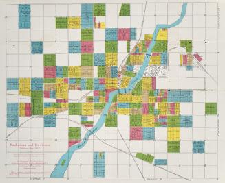
Saskatoon and environs
1912
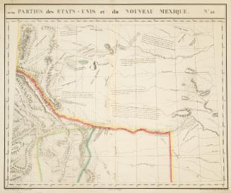
Parties des états-Unis et du Nouveau Mexique
1825
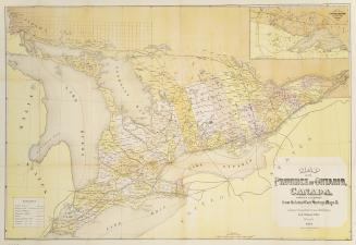
Map of the province of Ontario Canada compiled & prepared from the latest Gov't surveys & maps &c.
1874
Partie des états-Unis
1825
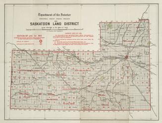
Saskatoon land district
1912
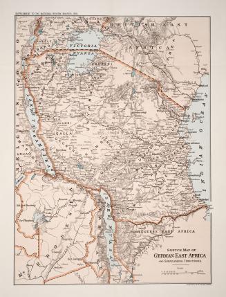
Sketch map of German East Africa and surrounding territories
1916
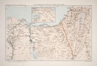
The threatened attack on the Suez Canal
1916
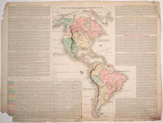
Amerique Historique, Physique et Politique en 1825
1826
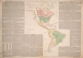
De L'Amerique moderne en 1812
1824
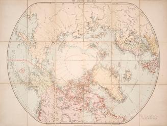
London atlas map of the Arctic Regions
Approximately 1915
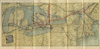
Map of Grand Trunk Railway system and connections
Approximately 1901
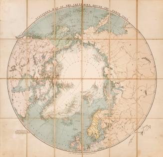
Stanford's map of the countries round the north pole
1875
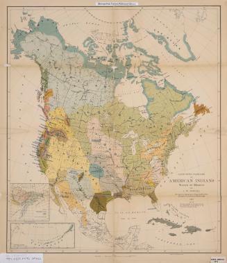
Linguistic families of American Indians north of Mexico
1915
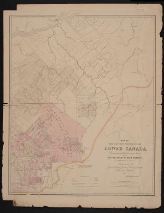
Map of the Eastern Townships of Lower Canada, drawn principally from actual survey for the British American Land Company
22 May 1839
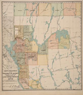
Carte régionale de la Province de Québec montrant le territoire compris entre les lacs Temiscamingue et Abitibi
17 March 1910
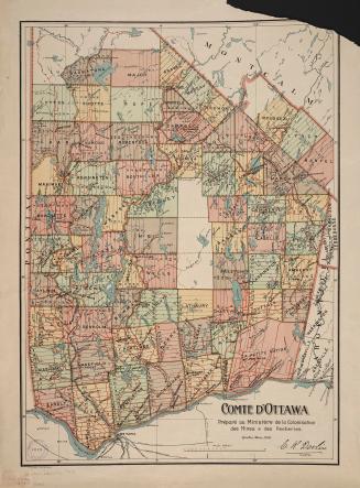
Comté d'Ottawa
1 March 1910
Map of the counties of Russell and Prescott
Approximately 1870
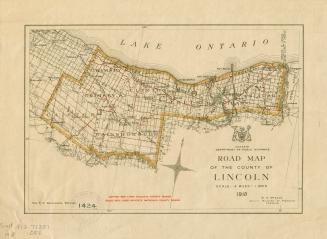
Road map of the County of Lincoln
1918
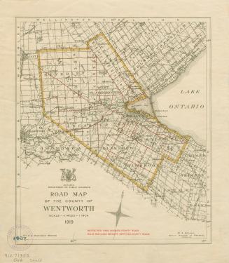
Road map of the County of Wentworth
1919
/ 14
Next
RDF
XML
JSON