Skip to main content
Search
Objects
(181,123)
People
(41,122)
Close
Refine Results
Show Only Public Domain
Format
Map
(11)
Date
to
Names
Bayfield, Henry Wolsey, 1795-1885
(4)
J & C Walker
(4)
Hydrographic Office
(4)
Crown lands department
(2)
Arrowsmith, John, 1790-1873
(1)
Bolton, Lewis O.L.S.
(1)
Chewett, James G. (James Grant), 1793-1862
(1)
Canada Company
(1)
G. Matthews Litho. Montréal
(1)
C. Smith & Son
(1)
Load all
Subject
*
Maps
(11)
Maps and surveys
(11)
Nautical charts
(4)
Geology
(1)
Land subdivision
(1)
Natural resources
(1)
Real estate
(1)
Real property
(1)
Collection
Baldwin Collection of Canadiana
(11)
Language
English
(11)
City, town or township
Québec
(5)
Argenteuil
(1)
Detroit
(1)
Montréal
(1)
Walkerville (Windsor, Ont.)
(1)
Windsor
(1)
Windsor||Ojibway
(1)
Sort:
Relevance
Date (Older First)
Date (Newer First)
Title (A–Z)
Title (Z–A)
Last Updated (Ascending)
Last Updated (Descending)
List
Images
Table
/ 1
Filters
11 results for
*
Result type
Objects
People
Regional maps
Maps and surveys
Clear All Filters
Map of the Eastern Townships of Lower Canada, drawn principally from actual survey for the British American Land Company
22 May 1839
Plans of the River St. Lawrence above Québec sheet IV Lake St. Peter
1831
Plans of the River St. Lawrence above Québec sheet III Batiscan to Lake St. Peter
1831
Plans of the River St. Lawrence above Québec sheet II St. Croix to Batiscan
1837
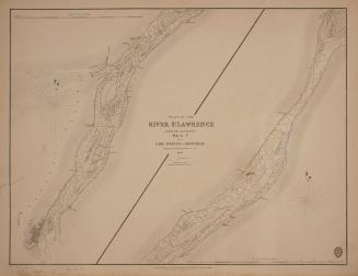
Plans of the River St. Lawrence above Québec sheet V from Lake St. Peter to Montréal
1834
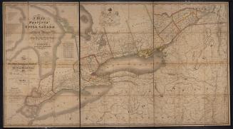
Map of the Province of Upper Canada and the adjacent territories in North America
1825
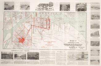
Map of the Border Cities of Windsor, Walkerville, Ford City, Sandwich and Ojibway Canada
1920
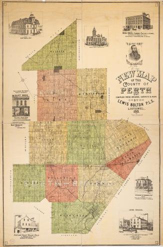
New map of the County of Perth Ontario compiled from original surveys and maps
1888
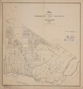
Map of the counties of Terrebonne Two Mountains and Argenteuil
December 31 1861
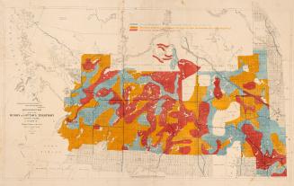
Government map of part of the Huron and Ottawa Territory Ontario
1872
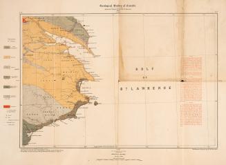
Geological Survey of Canada Province of Québec
1884
/ 1
RDF
XML
JSON