Skip to main content
Search
Objects
(181,123)
People
(41,122)
Close
Refine Results
Show Only Public Domain
Format
Map
(5)
Date
to
Names
Arrowsmith, John, 1790-1873
(1)
Canadian Journal
(1)
Chalifour, Joseph Epiphane, 1863-
(1)
Canada. Department of the Interior
(1)
Geological Survey of Canada
(1)
Douglas, James, 1803-1877
(1)
Ellis, John, 1795-1877
(1)
Lang, F.C.
(1)
Department
(1)
Low, A. P. (Albert Peter), 1861-1942
(1)
Load all
Subject
*
Maps
(5)
Natural resources
(5)
Geology
(2)
Mines and mineral resources
(2)
Discovery and exploration
(1)
Gold mines and mining
(1)
Maps and surveys
(1)
Roads
(1)
Collection
Baldwin Collection of Canadiana
(5)
Language
English
(5)
Sort:
Relevance
Date (Older First)
Date (Newer First)
Title (A–Z)
Title (Z–A)
Last Updated (Ascending)
Last Updated (Descending)
List
Images
Table
/ 1
Filters
5 results for
*
Result type
Objects
People
Regional maps
Natural resources
Clear All Filters
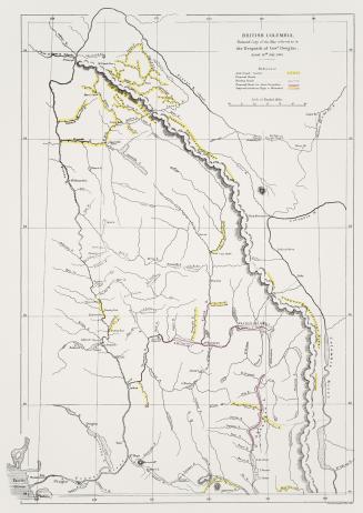
British Columbia, reduced copy of the map referred to in the despatch of Governor Douglas, dated 16th July, 1861
1861
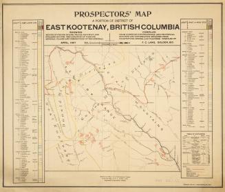
Prospectors' map a portion of district of East Kootenay, British Columbia
1897
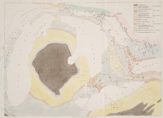
Geological map engraved for the Canadian Journal by John Ellis Toronto
Approximately 1850
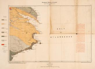
Geological Survey of Canada Province of Québec
1884
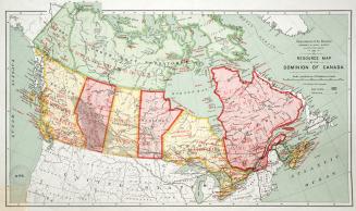
Resource map of the Dominion of Canada
1913
/ 1
RDF
XML
JSON