Skip to main content
Search
Objects
(181,123)
People
(41,122)
Close
Refine Results
Show Only Public Domain
Format
Map
(3)
Date
to
Names
Alexander & Cable Lithographing Co. Ltd
(1)
British-Canadian Securities, Limited
(1)
B. Sawden
(1)
Ontario Free Directory & Map Co.
(1)
British Canadian Securities Limited
(1)
Raine, Sydney H.
(1)
Unwin, Foster & Proudfoot
(1)
Ontario Free Directory and Map Co.
(1)
Subject
*
Land subdivision
(3)
Maps
(3)
Roads
(2)
Maps and surveys
(1)
Collection
Baldwin Collection of Canadiana
(3)
Language
English
(3)
City, town or township
Toronto
(2)
Regina
(1)
Sort:
Relevance
Date (Older First)
Date (Newer First)
Title (A–Z)
Title (Z–A)
Last Updated (Ascending)
Last Updated (Descending)
List
Images
Table
/ 1
Filters
3 results for
*
Result type
Objects
People
Road maps
Land subdivision
Clear All Filters
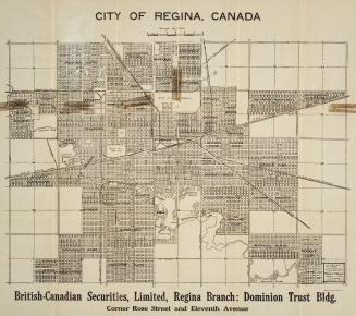
City of Regina, Canada
1912
Belt line map shewing northern suburbs of Toronto
1890
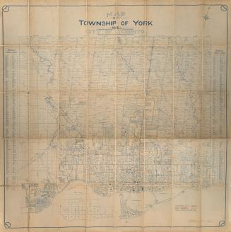
Map of township of York and city of Toronto
Approximately 1909
/ 1
RDF
XML
JSON