Skip to main content
Advanced Search Objects: results
Close
Refine Results
Show Only Public Domain
Format
*
Map
(21)
Date
to
Names
*
Canada. Department of the Interior
(21)
Cory, William Wallace
(6)
Cory, William Wallace, 1865-1943
(4)
J.E. Chalifour, Chief Geographer
(4)
Roche, William James, 1859-1937
(4)
Meighen, Arthur, 1874-1960
(4)
Chalifour, Joseph Epiphane, 1863-
(3)
Canada. Surveys and Mapping Branch
(3)
Government Printing Bureau
(3)
Department
(3)
Load all
Subject
Maps
(20)
Geology
(3)
Topographic maps
(2)
Topographical surveying
(2)
Discovery and exploration
(1)
Emigration and immigration
(1)
Gold mines and mining
(1)
Land settlement
(1)
Land subdivision
(1)
Maps and surveys
(1)
Load all
Collection
Baldwin Collection of Canadiana
(21)
Language
English
(21)
City, town or township
Grand Prairie (Alberta)
(2)
Edmonton
(1)
Timmins
(1)
Sort:
Relevance
Date (Older First)
Date (Newer First)
Title (A–Z)
Title (Z–A)
Last Updated (Ascending)
Last Updated (Descending)
List
Images
Table
/ 2
Next
Advanced Search
Filters
Title
Names
Subject
Call Number / Accession Number
Date Range
to
Collection
All
Archives of Ontario
Arthur Conan Doyle Collection
Arts department
Baldwin Collection of Canadiana
Business, Science, and Technology department
Chinese Canadian Archive
City of Toronto Archives
Humanities and Social Sciences department
IBBY Collection for Young People with Disabilities
Languages and Literature department
Local History Collection, Annette branch
Local History Collection, Beaches branch
Local History Collection, Bloor/Gladstone branch
Local History Collection, Dufferin/St. Clair branch
Local History Collection, Gerrard/Ashdale branch
Local History Collection, Leaside branch
Local History Collection, North York Central Library branch
Local History Collection, Northern District branch
Local History Collection, Palmerston branch
Local History Collection, Parkdale branch
Local History Collection, Riverdale branch
Local History Collection, Sanderson branch
Local History Collection, Weston branch
Local History Collection, Wychwood branch
Merril Collection of Science Fiction, Speculation and Fantasy
Ontario History Quest
Osborne Collection of Early Children's Books
Special Collections in the Arts
Toronto Public Library Archives
Toronto Reference Library
Toronto Star Photograph Archive
zTEST
Formats
All
Artifact (an object in our collections)
Book
Ephemera
Fonds
Manuscript
Map
Photo Album
Picture
Language
All
Abenaki
Algonquin (other)
Athapascan
Beothuk
Catalan
Chinese
Chinook jargon
Cree
Croatian
Dakota
Danish
Dene Suline
Dené
Dogrib
Dutch
English
French
Gaelic, Scottish
German
Greek, Ancient (to 1453)
Greek, Modern (1453- )
Haida
Haudenosaunee
Hungarian
Innu-aimun
Inuktitut
Irish
Italian
Japanese
Language
Latin
Maliseet–Passamaquoddy
Miꞌkmaq
Mohawk
No linguistic content
Norwegian
Ojibwa
Oneida
Portugese
Russian
Seneca
Serbian
Siksika
Spanish
Swedish
Tsimshian
Ukrainian
Welsh
Wendat
Yiddish
Clear
21 for
Language
:
English
Map
Canada. Department of the Interior
Clear All Filters
Saskatoon land district
1912
Map of part of the North West Territory including the Province of Manitoba shewing an approximate classification of the lands
1878
Topographical map of the Rocky Mountains Lake Louise sheet
1902
Topographical map of the Rocky Mountains Banff sheet
1902
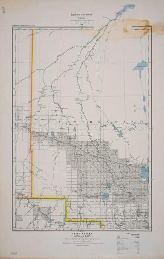
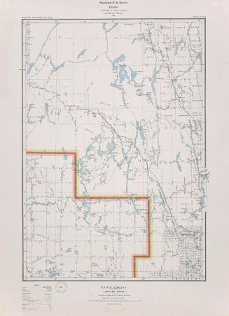
Ontario Mattagami sheet portions of Algoma, Sudbury and Timiskaming Districts
1919
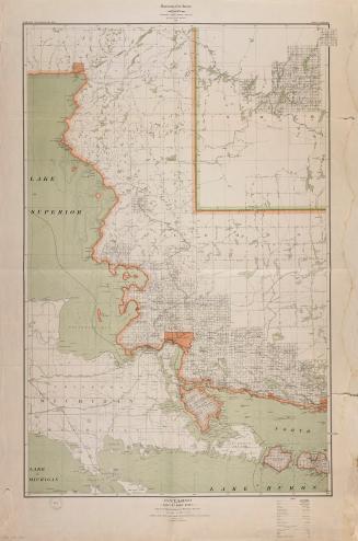
Ontario Parry Sound sheet portions of Nipissing, Parry Sound and Muskoka Districts and Haliburton County
1916
Map showing precise levelling by the Geodetic Survey of Canada
1915
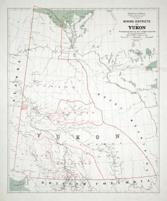
Mining Districts in Yukon
1907
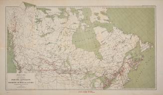
Outline map of part of Canada
1893
Map of the eastern part of Algoma District on the north shore of Lake Huron compiled from Government surveys
1879
Explorations in northern Canada and adjacent portions of Greenland and Alaska
1904
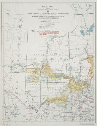
Map of northern Alberta land districts comprising agencies of Peace River, Grande Prairie & Edmonton
1919
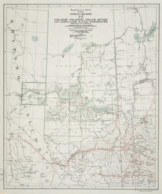
Map of northern Alberta land districts comprising agencies of Peace River & Grande Prairie
1918
Map of the Grand Prairie Peace River and Grouard Land Districts Province of Alberta
1916
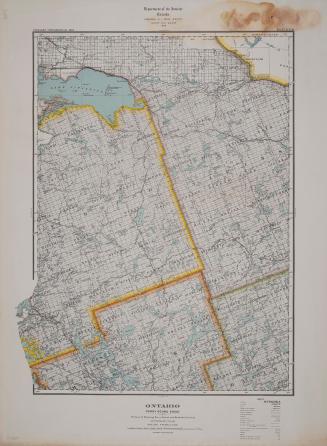
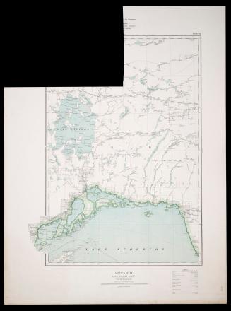
Ontario Lake Nipigon Sheet Thunder Bay District
1917
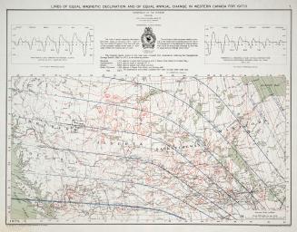
Lines of equal magnetic declination and of equal annual change
1917
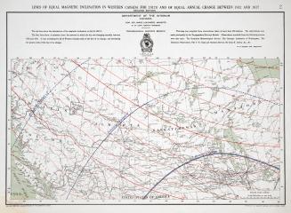
Lines of equal magnetic inclination in western Canada for 1917
1917
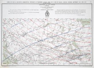
Lines of equal magnetic horizontal intensity in western Canada for 1917
1917
Ontario Cartier sheet portions of Algoma, Sudbury Districts
1914
Ontario Sault Ste. Marie sheet portions of Algoma, Sudbury, and Manitoulin Districts
1912
/ 2
Next
RDF
XML
JSON