Skip to main content
Advanced Search Objects: results
Close
Refine Results
Show Only Public Domain
Format
*
Map
(843)
Date
to
Names
Unknown
(56)
Burland Lithographic Co.
(37)
Goad, Charles E.
(33)
Chas. E. Goad, Ltd.
(32)
Ontario. Department of Crown Lands
(31)
Copp Clark Company
(29)
Jefferys, Thomas, -1771
(23)
Canada. Department of the Interior
(21)
Robertson, J. Ross (John Ross), 1841-1918
(19)
Pardee, Timothy Blair, 1830-1889
(18)
Load all
Subject
Maps
(809)
Maps and surveys
(113)
Land subdivision
(99)
Railroads
(58)
Roads
(58)
Fire insurance
(33)
Real property
(28)
Colonies
(27)
Discovery and exploration
(27)
Real estate
(25)
Load all
Collection
Baldwin Collection of Canadiana
(836)
Humanities and Social Sciences department
(5)
Archives of Ontario
(1)
Local History Collection, Leaside branch
(1)
Language
English
(843)
French
(2)
Latin
(1)
Building, monument or park
Toronto Harbour
(16)
Fort York
(8)
Canadian National Exhibition (CNE)
(1)
Fort George
(1)
Fort Ticonderoga (N.Y.)
(1)
Louisbourg (N.S.)
(1)
Moulthorp Lumber Company
(1)
Osgoode Hall (Toronto, Ontario)
(1)
Provincial Lunatic Asylum
(1)
Queen's Park (Toronto, Ont.)
(1)
Load all
City, town or township
Toronto
(198)
Québec
(13)
Montréal
(10)
Ottawa
(5)
Hamilton
(4)
King (Ont. : Township)
(4)
Vaughan
(4)
Kawartha Lakes
(3)
Thunder Bay
(3)
Whitchurch-Stouffville
(3)
Load all
Neighbourhood
Harbour
(38)
Railway Lands
(23)
Garrison
(22)
King-Spadina
(20)
St. Lawrence
(20)
Exhibition
(16)
Toronto Islands
(15)
Financial District
(14)
Port Lands
(12)
Downtown
(9)
Load all
North-south street
Yonge Street
(11)
Bathurst Street
(7)
Dovercourt Road
(5)
Dufferin Street
(5)
Bay Street
(3)
Christie Street
(3)
Leslie Street
(3)
Lippincott Street
(3)
Peter Street
(3)
Sherbourne Street
(3)
Load all
East-west street
Bloor Street West
(18)
College Street
(7)
Davenport Road
(7)
Dundas Street West
(5)
Front Street West
(5)
Queen Street West
(5)
King Street West
(4)
Bloor Street East
(3)
Dupont Street
(3)
Front Street East
(3)
Load all
Sort:
Relevance
Date (Older First)
Date (Newer First)
Title (A–Z)
Title (Z–A)
Last Updated (Ascending)
Last Updated (Descending)
List
Images
Table
/ 43
Next
Advanced Search
Filters
Title
Names
Subject
Call Number / Accession Number
Date Range
to
Collection
All
Archives of Ontario
Arthur Conan Doyle Collection
Arts department
Baldwin Collection of Canadiana
Business, Science, and Technology department
Chinese Canadian Archive
City of Toronto Archives
Humanities and Social Sciences department
IBBY Collection for Young People with Disabilities
Languages and Literature department
Local History Collection, Annette branch
Local History Collection, Beaches branch
Local History Collection, Bloor/Gladstone branch
Local History Collection, Dufferin/St. Clair branch
Local History Collection, Gerrard/Ashdale branch
Local History Collection, Leaside branch
Local History Collection, North York Central Library branch
Local History Collection, Northern District branch
Local History Collection, Palmerston branch
Local History Collection, Parkdale branch
Local History Collection, Riverdale branch
Local History Collection, Sanderson branch
Local History Collection, Weston branch
Local History Collection, Wychwood branch
Merril Collection of Science Fiction, Speculation and Fantasy
Ontario History Quest
Osborne Collection of Early Children's Books
Special Collections in the Arts
Toronto Public Library Archives
Toronto Reference Library
Toronto Star Photograph Archive
zTEST
Formats
All
Artifact (an object in our collections)
Book
Ephemera
Fonds
Manuscript
Map
Photo Album
Picture
Language
All
Abenaki
Algonquin (other)
Athapascan
Beothuk
Catalan
Chinese
Chinook jargon
Cree
Croatian
Dakota
Danish
Dene Suline
Dené
Dogrib
Dutch
English
French
Gaelic, Scottish
German
Greek, Ancient (to 1453)
Greek, Modern (1453- )
Haida
Haudenosaunee
Hungarian
Innu-aimun
Inuktitut
Irish
Italian
Japanese
Language
Latin
Maliseet–Passamaquoddy
Miꞌkmaq
Mohawk
No linguistic content
Norwegian
Ojibwa
Oneida
Portugese
Russian
Seneca
Serbian
Siksika
Spanish
Swedish
Tsimshian
Ukrainian
Welsh
Wendat
Yiddish
Clear
843 for
Language
:
English
Map
Clear All Filters
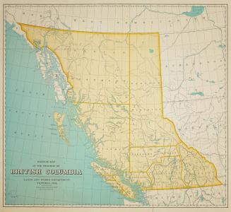
Sketch map of the province of British Columbia
1899
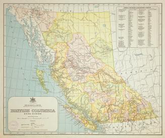
British Columbia mining divisions
Approximately 1914
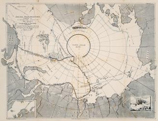
Rugg's new chart of the Arctic Regions illustrating Dr. Nansen's voyage in the ''Fram''
1896
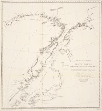
Smith Sound, Kennedy & Robeson Channels
1878
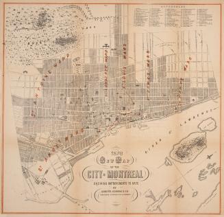
1870 new map of the City of Montreal showing improvements to date
1870
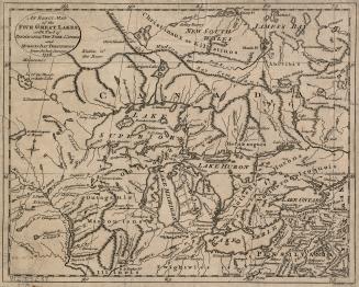
An exact map of the five Great Lakes, with part of Pensilvania, New York, Canada and Hudson's Bay Territories from the best surveys 1778
1778
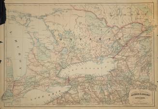
Asher & Adams' Ontario
1871
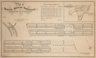
Plan of the Magnus Brown's Homestead addition to Winnipeg
1873
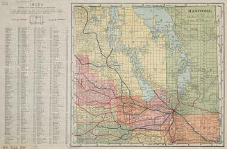
Manitoba
Approximately 1910
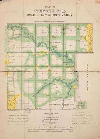
Plan of township no.15 range 4 east of first meridian
1873
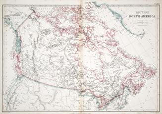
British North America
1865
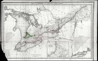
Map of the townships of the province of Upper Canada
1826
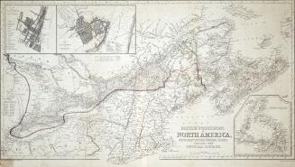
British Possessions in North America, with part of the United States, compiled from official sources
1840
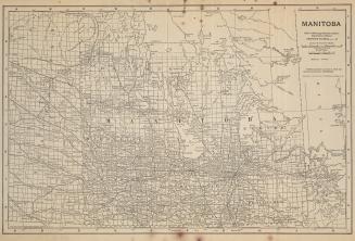
Manitoba
1912
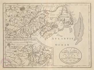
Part of North America, containing Canada, the north parts of New England and New York, with Nova Scotia and Newfoundland
1755
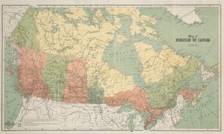
Map of Dominion of Canada
Approximately 1906
Map of Dominion of Canada
Approximately 1910
Carte du Canada
1855
British Columbia (New Caledonia) and Vancouver Island
1863
Plan of islands between Aird Island & McBean Harbour on the north shore of Lake Huron District of Algoma
1915
/ 43
Next
RDF
XML
JSON