Skip to main content
Advanced Search Objects: results
Close
Refine Results
Show Only Public Domain
Format
*
Map
(27)
Date
to
Names
Arrowsmith, John, 1790-1873
(9)
Hind, Henry Youle, 1823-1908
(5)
Sayer, Robert, 1725-1794
(3)
Great Britain. Army. Royal Engineers
(2)
Great Britain. Royal Navy
(2)
Douglas, James, 1803-1877
(2)
Robert Sayer and John Bennett (Firm)
(2)
Nares, George S. (George Strong), 1831-1915
(2)
Sampson Low, Marston, Searle & Rivington
(2)
Stanford, Edward
(2)
Load all
Subject
*
Discovery and exploration
(27)
Maps
(26)
British
(2)
Discoveries in geography
(1)
Exploration
(1)
Explorers
(1)
Gold mines and mining
(1)
Mines and mineral resources
(1)
Natural resources
(1)
Nautical charts
(1)
Load all
Collection
Baldwin Collection of Canadiana
(27)
Language
English
(27)
Sort:
Relevance
Date (Older First)
Date (Newer First)
Title (A–Z)
Title (Z–A)
Last Updated (Ascending)
Last Updated (Descending)
List
Images
Table
/ 2
Next
Advanced Search
Filters
Title
Names
Subject
Call Number / Accession Number
Date Range
to
Collection
All
Archives of Ontario
Arthur Conan Doyle Collection
Arts department
Baldwin Collection of Canadiana
Business, Science, and Technology department
Chinese Canadian Archive
City of Toronto Archives
Humanities and Social Sciences department
IBBY Collection for Young People with Disabilities
Languages and Literature department
Local History Collection, Annette branch
Local History Collection, Beaches branch
Local History Collection, Bloor/Gladstone branch
Local History Collection, Dufferin/St. Clair branch
Local History Collection, Gerrard/Ashdale branch
Local History Collection, Leaside branch
Local History Collection, North York Central Library branch
Local History Collection, Northern District branch
Local History Collection, Palmerston branch
Local History Collection, Parkdale branch
Local History Collection, Riverdale branch
Local History Collection, Sanderson branch
Local History Collection, Weston branch
Local History Collection, Wychwood branch
Merril Collection of Science Fiction, Speculation and Fantasy
Ontario History Quest
Osborne Collection of Early Children's Books
Special Collections in the Arts
Toronto Public Library Archives
Toronto Reference Library
Toronto Star Photograph Archive
zTEST
Formats
All
Artifact (an object in our collections)
Book
Ephemera
Fonds
Manuscript
Map
Photo Album
Picture
Language
All
Abenaki
Algonquin (other)
Athapascan
Beothuk
Catalan
Chinese
Chinook jargon
Cree
Croatian
Dakota
Danish
Dene Suline
Dené
Dogrib
Dutch
English
French
Gaelic, Scottish
German
Greek, Ancient (to 1453)
Greek, Modern (1453- )
Haida
Haudenosaunee
Hungarian
Innu-aimun
Inuktitut
Irish
Italian
Japanese
Language
Latin
Maliseet–Passamaquoddy
Miꞌkmaq
Mohawk
No linguistic content
Norwegian
Ojibwa
Oneida
Portugese
Russian
Seneca
Serbian
Siksika
Spanish
Swedish
Tsimshian
Ukrainian
Welsh
Wendat
Yiddish
Clear
27 for
Language
:
English
Map
Discovery and exploration
Clear All Filters
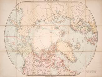
London atlas map of the Arctic Regions
Approximately 1915
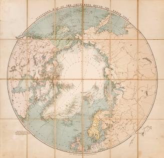
Stanford's map of the countries round the north pole
1875
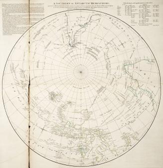
A Southern or Antarctic Hemisphere
Approximately 1773
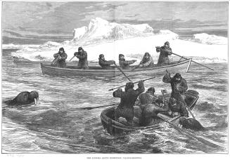
The two voyages of the 'Pandora' in 1875 and 1876 / by Sir Allen Young, R
1879
Map of a portion of British Columbia / compiled from the surveys & explorations of the Royal Navy & Royal Engineers, at the camp, New Westminster Novr. 24th 1859
1859
Map of a portion of British Columbia / compiled from the surveys & explorations of the Royal Navy & Royal Engineers, at the camp, New Westminster Novr. 24th 1859
1859
British Columbia, reduced copy of the map referred to in the despatch of Governor Douglas, dated 16th July, 1861
1861
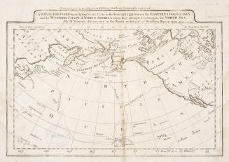
Chart of the N.W. Coast of America, and N.E. Coast of Asia. Explored by Capt. Cook and Capt. Clerke, in the years 1778 & 1779
Approximately 1785
Smith Sound, Kennedy & Robeson Channels
1878
The Russian discoveries, from the map published by the Imperial Academy of St
1775
Arctic expedition, 1875-6 H.M. ships Alert and Discovery captains G.S. Nares, F.R.S. and H.E. Stephenson, R.N.
1878
Explorations in northern Canada and adjacent portions of Greenland and Alaska
1904
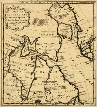
A map of Hudsons Bay and Parts adjacent, from the latest surveys and best authorities
Approximately 1750
C. 6. Chart shewing the North West Passage discovered by Capt. R. LeM. McClure H.M. Ship Investigator also the coast explored in Search of Sir John Franklin
1853
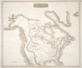
North America
1814
A map of the discoveries made by Capts. Cook & Clerke in the years 1778 & 1779
Approximately 1809
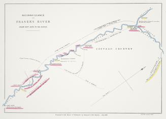
Reconaissance of Fraser's River from Fort Hope to the Forks
1858
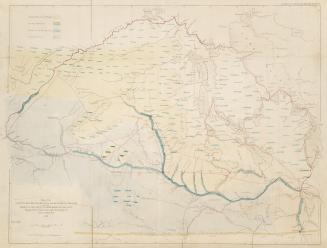
Map of the country between Red River & Lake Winnipeg on the east elbow of the South Saskatchewan, on the west, explored by the expedition under the charge of Henry Y. Hind, M.A.
1858
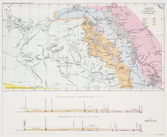
Geological map of a portion of Rupert's Land
1860
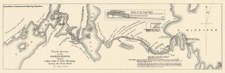
Track survey of the Saskatchewan, between Cedar Lake & Lake Winnipeg shewing the Grand Rapid
1860
/ 2
Next
RDF
XML
JSON