Skip to main content
Advanced Search Objects: results
Close
Refine Results
Show Only Public Domain
Format
*
Map
(23)
Date
to
Names
*
Jefferys, Thomas, -1771
(23)
Thomas Jefferys
(13)
Mead, Braddock
(2)
Robert Sayer (Firm)
(2)
Sayer, Robert, 1725-1794
(2)
Captain in his majesties navy
(1)
De Braham, William Gerard, 1717-1799
(1)
Holland, Samuel, 1728-1801
(1)
E. Cave
(1)
Faden William, 1749-1836
(1)
Load all
Subject
Maps
(21)
Administrative and political divisions
(5)
Bunker Hill, Battle of, 1775
(1)
Discovery and exploration
(1)
Fortification
(1)
Forts and fortifications
(1)
French and Indian War, 1755-1763
(1)
History
(1)
Nautical charts
(1)
Québec Campaign, 1759
(1)
Load all
Collection
Baldwin Collection of Canadiana
(23)
Language
English
(23)
Building, monument or park
Fort Ticonderoga (N.Y.)
(1)
City, town or township
Montréal
(1)
New Orleans
(1)
Sort:
Relevance
Date (Older First)
Date (Newer First)
Title (A–Z)
Title (Z–A)
Last Updated (Ascending)
Last Updated (Descending)
List
Images
Table
/ 2
Next
Advanced Search
Filters
Title
Names
Subject
Call Number / Accession Number
Date Range
to
Collection
All
Archives of Ontario
Arthur Conan Doyle Collection
Arts department
Baldwin Collection of Canadiana
Business, Science, and Technology department
Chinese Canadian Archive
City of Toronto Archives
Humanities and Social Sciences department
IBBY Collection for Young People with Disabilities
Languages and Literature department
Local History Collection, Annette branch
Local History Collection, Beaches branch
Local History Collection, Bloor/Gladstone branch
Local History Collection, Dufferin/St. Clair branch
Local History Collection, Gerrard/Ashdale branch
Local History Collection, Leaside branch
Local History Collection, North York Central Library branch
Local History Collection, Northern District branch
Local History Collection, Palmerston branch
Local History Collection, Parkdale branch
Local History Collection, Riverdale branch
Local History Collection, Sanderson branch
Local History Collection, Weston branch
Local History Collection, Wychwood branch
Merril Collection of Science Fiction, Speculation and Fantasy
Ontario History Quest
Osborne Collection of Early Children's Books
Special Collections in the Arts
Toronto Public Library Archives
Toronto Reference Library
Toronto Star Photograph Archive
zTEST
Formats
All
Artifact (an object in our collections)
Book
Ephemera
Fonds
Manuscript
Map
Photo Album
Picture
Language
All
Abenaki
Algonquin (other)
Athapascan
Beothuk
Catalan
Chinese
Chinook jargon
Cree
Croatian
Dakota
Danish
Dene Suline
Dené
Dogrib
Dutch
English
French
Gaelic, Scottish
German
Greek, Ancient (to 1453)
Greek, Modern (1453- )
Haida
Haudenosaunee
Hungarian
Innu-aimun
Inuktitut
Irish
Italian
Japanese
Language
Latin
Maliseet–Passamaquoddy
Miꞌkmaq
Mohawk
No linguistic content
Norwegian
Ojibwa
Oneida
Portugese
Russian
Seneca
Serbian
Siksika
Spanish
Swedish
Tsimshian
Ukrainian
Welsh
Wendat
Yiddish
Clear
23 for
Language
:
English
Map
Jefferys, Thomas, -1771
Clear All Filters
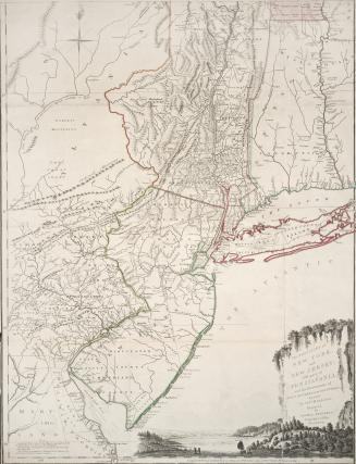
The provinces of New York, and New Jersey, with part of Pensilvania, and the governments of Trois Rivieres, and Montreal. Drawn by Capt. Holland. Eng(...)
1775
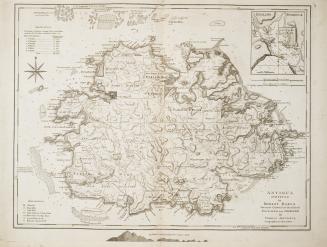
Antigua surveyed by Robert Baker Surveyor General of that Island Engraved and improved by Thomas Jefferys, Geographer to the King
1775
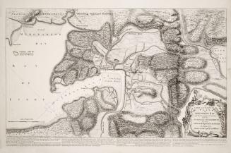
A large and particular plan of Shegnekto Bay, and the circumjacent country, with the forts and settlements of the French till dispossess'd by the English in June 1755 Drawn on the spot by an Officer
1755
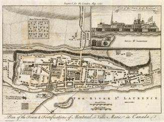
Plan of the Town and Fortification of Montreal or Ville Marie in Canada
1760
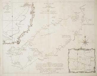
Tobago by Thomas Jefferys, Geographer to his Majesty
1765
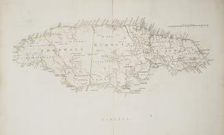
Jamaica
Approximately 1760
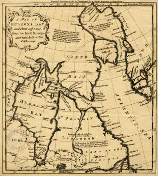
A map of Hudsons Bay and Parts adjacent, from the latest surveys and best authorities
Approximately 1750
A map of the most inhabited part of New England containing the provinces of Massachusets Bay and New Hampshire, with the colonies of Connecticut and R(...)
1774
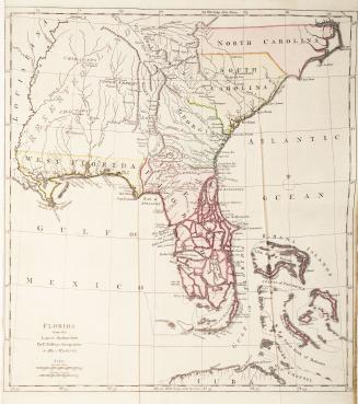
Florida from the Latest Authorities
Approximately 1768
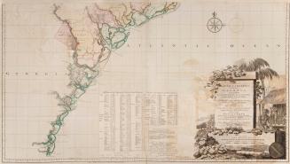
A map of South Carolina and a part of Georgia containing the whole sea coast, all the Islands, Inlets, Rivers, Creeks, Parishes, Townships, Boroughs, (...)
1757
Plan of Amelia Island in East Florida Taken from De Brahm's map of South Carolina & Georgia, A chart of the entrance into St. Mary's River, A chart of(...)
1770
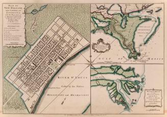
Plan of New Orleans the capital of Louisiana, with the Disposition of its Quarters and Canals as they have been traced by Mr de la Tour, in the Year 1720
1759
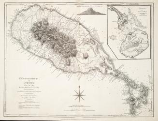
St. Christophers, or St. Kitts surveyed by Anthony Ravell Esq., Surveyor General of the lslands of St. Christopher, Nevis and Montserrat
1775
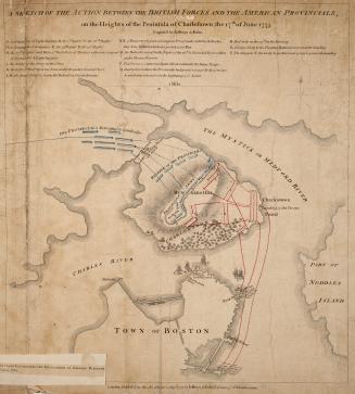
A sketch of the action between the British forces and the American provincials, on the Heights of the Peninsula of Charlestown, the 17th of June 1775
1775
A map of the most inhabited part of New England containing the provinces of Massachusets Bay and New Hampshire, with the colonies of Connecticut and R(...)
1755
Plan of the town and fortification of Montréal or Ville Marie in Canada
1758
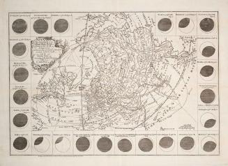
The geography of the great solar eclipse of July, 14
1748
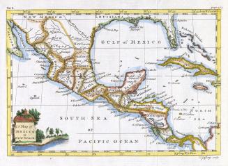
A map of Mexico or New Spain
1756
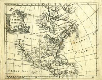
North America
Approximately 1770
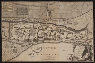
An authentic plan of the River St
1759
/ 2
Next
RDF
XML
JSON