Skip to main content
Advanced Search Objects: results
Close
Refine Results
Show Only Public Domain
Format
*
Map
(31)
Date
to
Names
*
Ontario. Department of Crown Lands
(31)
Pardee, Timothy Blair, 1830-1889
(18)
Copp Clark Company
(10)
Copp, Clark & Co. Lith. Toronto
(5)
E. Stewart P.L.S.
(3)
Hardy, Arthur Sturgis, 1837-1901
(3)
Devine, Thomas (Draughtsman)
(3)
Bolger, Francis
(2)
Saunders, B.J.
(2)
McDougall, William
(2)
Load all
Subject
Maps
(31)
Railroads
(1)
Surveys
(1)
Collection
Baldwin Collection of Canadiana
(31)
Language
English
(31)
Sort:
Relevance
Date (Older First)
Date (Newer First)
Title (A–Z)
Title (Z–A)
Last Updated (Ascending)
Last Updated (Descending)
List
Images
Table
/ 2
Next
Advanced Search
Filters
Title
Names
Subject
Call Number / Accession Number
Date Range
to
Collection
All
Archives of Ontario
Arthur Conan Doyle Collection
Arts department
Baldwin Collection of Canadiana
Business, Science, and Technology department
Chinese Canadian Archive
City of Toronto Archives
Humanities and Social Sciences department
IBBY Collection for Young People with Disabilities
Languages and Literature department
Local History Collection, Annette branch
Local History Collection, Beaches branch
Local History Collection, Bloor/Gladstone branch
Local History Collection, Dufferin/St. Clair branch
Local History Collection, Gerrard/Ashdale branch
Local History Collection, Leaside branch
Local History Collection, North York Central Library branch
Local History Collection, Northern District branch
Local History Collection, Palmerston branch
Local History Collection, Parkdale branch
Local History Collection, Riverdale branch
Local History Collection, Sanderson branch
Local History Collection, Weston branch
Local History Collection, Wychwood branch
Merril Collection of Science Fiction, Speculation and Fantasy
Ontario History Quest
Osborne Collection of Early Children's Books
Special Collections in the Arts
Toronto Public Library Archives
Toronto Reference Library
Toronto Star Photograph Archive
zTEST
Formats
All
Artifact (an object in our collections)
Book
Ephemera
Fonds
Manuscript
Map
Photo Album
Picture
Language
All
Abenaki
Algonquin (other)
Athapascan
Beothuk
Catalan
Chinese
Chinook jargon
Cree
Croatian
Dakota
Danish
Dene Suline
Dené
Dogrib
Dutch
English
French
Gaelic, Scottish
German
Greek, Ancient (to 1453)
Greek, Modern (1453- )
Haida
Haudenosaunee
Hungarian
Innu-aimun
Inuktitut
Irish
Italian
Japanese
Language
Latin
Maliseet–Passamaquoddy
Miꞌkmaq
Mohawk
No linguistic content
Norwegian
Ojibwa
Oneida
Portugese
Russian
Seneca
Serbian
Siksika
Spanish
Swedish
Tsimshian
Ukrainian
Welsh
Wendat
Yiddish
Clear
31 for
Language
:
English
Map
Ontario. Department of Crown Lands
Clear All Filters
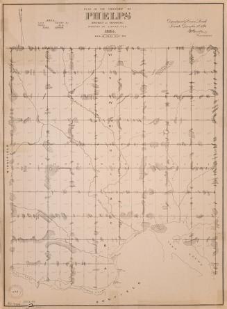
Plan of the township of Phelps District of Nipissing
1884
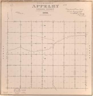
Plan of the township of Appleby Nipissing District
1890
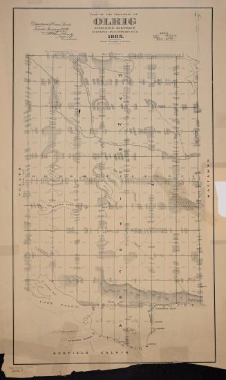
Plan of the township of Olrig
1885
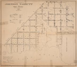
Plan of the townships of Johnson Tarbutt and Tarbutt Additional
1877
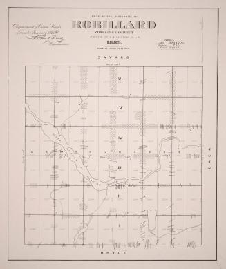
Plan of the township of Robillard Nipissing District
1889
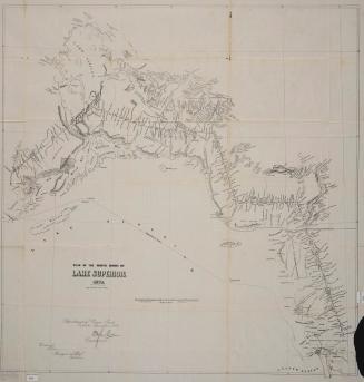
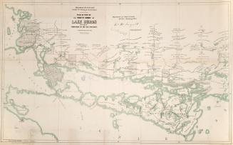
Plan of the north shore of Lake Superior 1872
1872
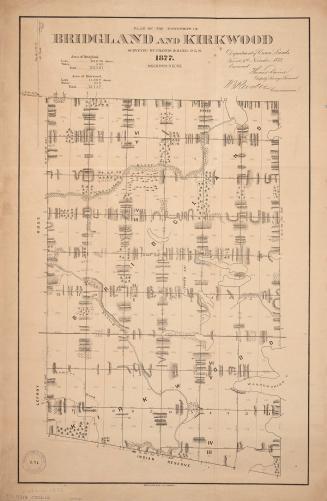
Plan of the townships of Bridgland and Kirkwood
1877
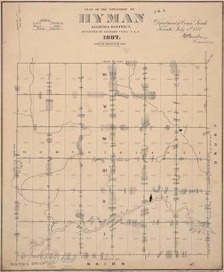
Plan of the township of Hyman, Algoma District
1887
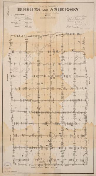
Plan of the townships of Hodgins and Anderson
1878
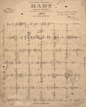
Plan of the township of Hart, Algoma District
1885
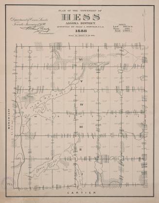
Plan of the township of Hess, Algoma District
1888
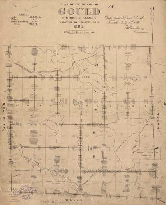
Plan of the township of Gould District of Algoma
1885
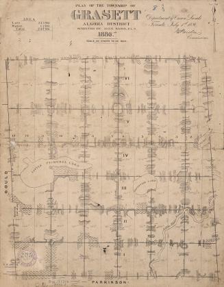
Plan of the township of Grasett Algoma District
1886
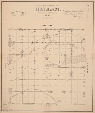
Plan of the township of Hallam
1883
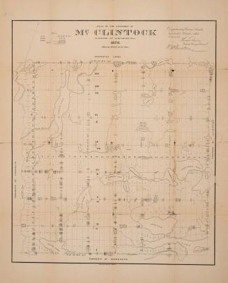
Plan of the township of McClintock
1876
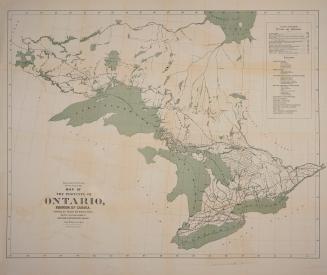
Map of the Province of Ontario, Dominion of Canada, exhibiting the counties and districts therein, also the unsurveyed portions of Northern & Northewestern Ontario
1884
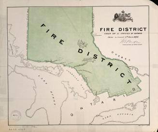
Fire District under cap. 23 statutes of Ontario
1878
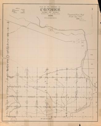
Plan of the township of Conmee Thunder Bay District
1886
Plan of part of the north shore of Lake Huron shewing the subdivision of the new townships
1863
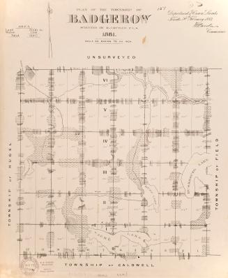
Plan of the township of Badgerow surveyed by M.J. Butler, P.L.S. 1887
1881
/ 2
Next
RDF
XML
JSON