Skip to main content
Advanced Search Objects: results
Close
Refine Results
Show Only Public Domain
Format
*
Map
(27)
Date
to
Names
Robert Sayer and John Bennett (Firm)
(4)
Sayer, Robert, 1725-1794
(4)
Pownall, Thomas, 1722-1805
(3)
Lowry, John Wilson, 1803-1879
(2)
Bennett, John
(2)
Moll, Herman, -1732
(2)
Unknown
(2)
Chapman and Hall
(1)
Buchon, Jean Alexandre, 1791-1846
(1)
D. Lizars
(1)
Load all
Subject
*
Colonies
(27)
Maps
(27)
Cartography
(2)
History
(2)
Revolution, 1775-1783
(2)
Boundaries
(1)
French and Indian War, 1755-1763
(1)
Collection
Baldwin Collection of Canadiana
(27)
Language
English
(27)
City, town or township
Charleston
(1)
Montréal
(1)
Québec
(1)
Sort:
Relevance
Date (Older First)
Date (Newer First)
Title (A–Z)
Title (Z–A)
Last Updated (Ascending)
Last Updated (Descending)
List
Images
Table
/ 2
Next
Advanced Search
Filters
Title
Names
Subject
Call Number / Accession Number
Date Range
to
Collection
All
Archives of Ontario
Arthur Conan Doyle Collection
Arts department
Baldwin Collection of Canadiana
Business, Science, and Technology department
Chinese Canadian Archive
City of Toronto Archives
Humanities and Social Sciences department
IBBY Collection for Young People with Disabilities
Languages and Literature department
Local History Collection, Annette branch
Local History Collection, Beaches branch
Local History Collection, Bloor/Gladstone branch
Local History Collection, Dufferin/St. Clair branch
Local History Collection, Gerrard/Ashdale branch
Local History Collection, Leaside branch
Local History Collection, North York Central Library branch
Local History Collection, Northern District branch
Local History Collection, Palmerston branch
Local History Collection, Parkdale branch
Local History Collection, Riverdale branch
Local History Collection, Sanderson branch
Local History Collection, Weston branch
Local History Collection, Wychwood branch
Merril Collection of Science Fiction, Speculation and Fantasy
Ontario History Quest
Osborne Collection of Early Children's Books
Special Collections in the Arts
Toronto Public Library Archives
Toronto Reference Library
Toronto Star Photograph Archive
zTEST
Formats
All
Artifact (an object in our collections)
Book
Ephemera
Fonds
Manuscript
Map
Photo Album
Picture
Language
All
Abenaki
Algonquin (other)
Athapascan
Beothuk
Catalan
Chinese
Chinook jargon
Cree
Croatian
Dakota
Danish
Dene Suline
Dené
Dogrib
Dutch
English
French
Gaelic, Scottish
German
Greek, Ancient (to 1453)
Greek, Modern (1453- )
Haida
Haudenosaunee
Hungarian
Innu-aimun
Inuktitut
Irish
Italian
Japanese
Language
Latin
Maliseet–Passamaquoddy
Miꞌkmaq
Mohawk
No linguistic content
Norwegian
Ojibwa
Oneida
Portugese
Russian
Seneca
Serbian
Siksika
Spanish
Swedish
Tsimshian
Ukrainian
Welsh
Wendat
Yiddish
Clear
27 for
Language
:
English
Map
Colonies
Clear All Filters
A map of the British Empire in America with the French and Spanish settlements adjacent thereto
Approximately 1733
Continent and islands of America possessed by European nations
1765
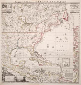
The Western or Atlantic Ocean
30 May 1775
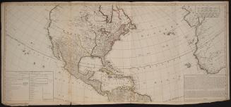
North America
Approximately 1905
A general map of the northern British colonies in America
1776
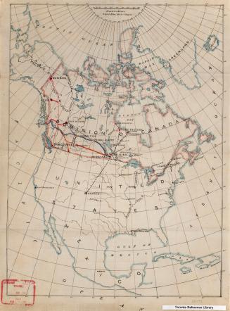
British North America
1865
Part of North America, containing Canada, the north parts of New England and New York, with Nova Scotia and Newfoundland
1755
The theatre of war in North America, with the roads and a table of the distances
1776
Map of the United States of North America: with the British territories and those of Spain according to the treaty of 1784
1796
British North America. Sheet II, West. Canada with part of the United States.
1862
British Possessions in North America from the best authorities
1794
A general map of the middle British colonies, in America
1776
British possessions in North America
1836
Carte Geographique, Statistique et Historique des Posessions Anglaises
1825
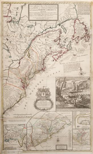
A new and exact map of the Dominions of the King of Great Britain on ye Continent of North America, Containing Newfoundland, New Scotland, New England(...)
1715
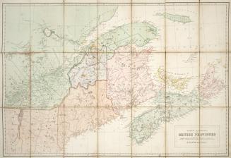
North America, British Provinces of New Brunswick, Nova Scotia & Part of Canada
Approximately 1840
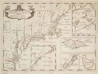
A new map of the most considerable plantations of the English in America dedicated to His Highness William Duke of Glocester
1700
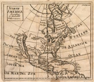
North America according to the latest observations
1722
An accurate map of the British Colonies in North America bordering on the River Ohio
Approximately 1760
A map of the Brittish plantations on the continent of America
1739
/ 2
Next
RDF
XML
JSON