Skip to main content
Advanced Search Objects: results
Close
Refine Results
Show Only Public Domain
Format
Map
(1,138)
Book
(67)
Ephemera
(16)
Manuscript
(7)
Picture
(5)
Date
to
Names
Goad, Charles E.
(188)
Chas. E. Goad, Ltd.
(186)
Unknown
(71)
Burland Lithographic Co.
(37)
Boulton, W. S. (William Sommerville), 1830-1860
(32)
Ellis, J.
(32)
Boulton, H. C. (Henry Carew), 1833-1898
(31)
Ontario. Department of Crown Lands
(31)
Copp Clark Company
(29)
Jefferys, Thomas, -1771
(27)
Load all
Subject
Maps
(1,233)
Fire insurance
(187)
Maps and surveys
(141)
Land subdivision
(102)
Railroads
(65)
Roads
(61)
Real property
(45)
Discovery and exploration
(43)
History
(42)
Cities and towns
(33)
Load all
Collection
Baldwin Collection of Canadiana
(1,212)
Humanities and Social Sciences department
(8)
Toronto Public Library Archives
(4)
Osborne Collection of Early Children's Books
(3)
Toronto Star Photograph Archive
(2)
Archives of Ontario
(1)
Arthur Conan Doyle Collection
(1)
Local History Collection, Leaside branch
(1)
Special Collections in the Arts
(1)
Language
English
(1,106)
French
(70)
Latin
(29)
German
(15)
Italian
(11)
Language
(4)
No linguistic content
(4)
Dutch
(4)
Spanish
(3)
Building, monument or park
Toronto Harbour
(16)
Fort York
(8)
Toronto Public Library. Wychwood Branch
(2)
Canadian National Exhibition (CNE)
(1)
Fort Frontenac
(1)
Fort George
(1)
Fort Ticonderoga (N.Y.)
(1)
Louisbourg (N.S.)
(1)
Moulthorp Lumber Company
(1)
Osgoode Hall (Toronto, Ontario)
(1)
Load all
City, town or township
Toronto
(405)
Montréal
(13)
Québec
(13)
Ottawa
(6)
Belleville
(5)
Kawartha Lakes
(4)
King (Ont. : Township)
(4)
Vaughan
(4)
Ameliasburgh (Ont.: Township)
(3)
Hamilton
(3)
Load all
Neighbourhood
Harbour
(49)
Railway Lands
(35)
Garrison
(33)
King-Spadina
(32)
Downtown
(29)
St. Lawrence
(24)
Financial District
(23)
Toronto Islands
(21)
Exhibition
(20)
Cabbagetown
(19)
Load all
North-south street
Yonge Street
(12)
Bathurst Street
(7)
Dovercourt Road
(5)
Dufferin Street
(5)
Bay Street
(3)
Christie Street
(3)
Leslie Street
(3)
Lippincott Street
(3)
Peter Street
(3)
Sherbourne Street
(3)
Load all
East-west street
Bloor Street West
(22)
College Street
(7)
Davenport Road
(7)
Dundas Street West
(5)
Front Street West
(5)
Queen Street West
(5)
King Street West
(4)
Kingston Road
(4)
Bloor Street East
(3)
Dupont Street
(3)
Load all
Sort:
Relevance
Date (Older First)
Date (Newer First)
Title (A–Z)
Title (Z–A)
Last Updated (Ascending)
Last Updated (Descending)
List
Images
Table
Previous
/ 62
Next
Advanced Search
Filters
Title
Names
Subject
Call Number / Accession Number
Date Range
to
Collection
All
(not assigned)
Archives of Ontario
Arthur Conan Doyle Collection
Arts department
Baldwin Collection of Canadiana
Business, Science, and Technology department
Chinese Canadian Archive
City of Toronto Archives
Humanities and Social Sciences department
IBBY Collection for Young People with Disabilities
Languages and Literature department
Local History Collection, Annette branch
Local History Collection, Beaches branch
Local History Collection, Bloor/Gladstone branch
Local History Collection, Dufferin/St. Clair branch
Local History Collection, Gerrard/Ashdale branch
Local History Collection, Leaside branch
Local History Collection, North York Central Library branch
Local History Collection, Northern District branch
Local History Collection, Palmerston branch
Local History Collection, Parkdale branch
Local History Collection, Riverdale branch
Local History Collection, Sanderson branch
Local History Collection, Weston branch
Local History Collection, Wychwood branch
Merril Collection of Science Fiction, Speculation and Fantasy
Ontario History Quest
Osborne Collection of Early Children's Books
Special Collections in the Arts
Toronto Public Library Archives
Toronto Reference Library
Toronto Star Photograph Archive
Formats
All
Artifact (an object in our collections)
Book
Ephemera
Manuscript
Map
Photo Album
Picture
Language
All
Abenaki
Algonquin (other)
Athapascan
Beothuk
Catalan
Chinese
Chinook jargon
Cree
Croatian
Dakota
Danish
Dene Suline
Dené
Dogrib
Dutch
English
French
Gaelic, Scottish
German
Greek, Ancient (to 1453)
Greek, Modern (1453- )
Haida
Haudenosaunee
Hungarian
Innu-aimun
Inuktitut
Irish
Italian
Japanese
Language
Latin
Maliseet–Passamaquoddy
Miꞌkmaq
Mohawk
No linguistic content
Norwegian
Ojibwa
Oneida
Portugese
Russian
Seneca
Serbian
Siksika
Spanish
Swedish
Tsimshian
Ukrainian
Welsh
Wendat
Yiddish
Clear
1,233 for
Subject
:
Maps
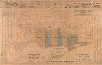
Correct map of the City of Toronto published for the Toronto City Directory
1892
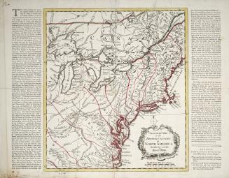
An accurate map of the British Colonies in North America bordering on the River Ohio
Approximately 1760
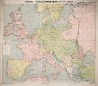
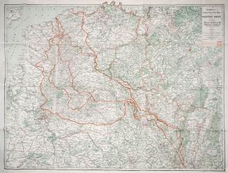
Philips' large-scale battle front map of Europe
1916 circa
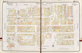
Atlas of the City of Toronto and suburbs(volume I, plate 18)
1912
Atlas of the City of Toronto and suburbs : founded on registered plans and special surveys showing plan numbers, lots & buildings (volume I)
1912
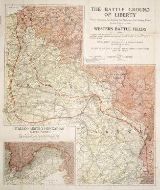
The Battle Ground of Liberty where Americans are fighting for humanity and lasting peace, A large scale detail map of the western battle fields showin(...)
1917
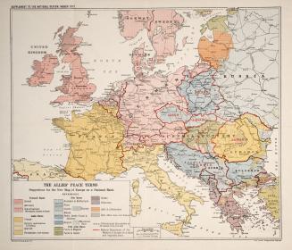
The Allies' Peace Terms, suggestions for the new map of Europe on a national basis
1917 circa
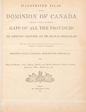
Illustrated atlas of the Dominion of Canada: containing authentic and complete maps of all the provinces, the North-West Territories and the island of Newfoundland from the latest official surveys and plans, by permission of the general and provincial governments : together with a general descriptive history, &c. : also, maps of Europe, Asia, Africa, North and South America, United States, Oceanica, the world, &c. &c.
1880
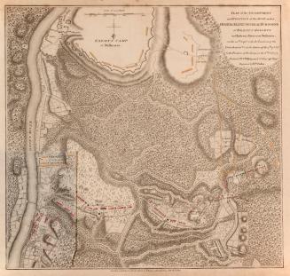
Plan of the Encampment and Position of the Army under His Excellency Lt
1780
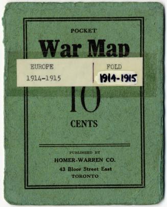
Pocket war map 10 cents
1915
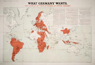
What Germany wants Her claims as set forth by leaders of German thought
1918 circa
(1828) Plan of Toronto Harbour, Lake Ontario surveyed under the direction of Captn W.F.W. Owen, R.N
Approximately 1908
Hammond's new combination large scale war maps of the Western front and Italian front
1918 circa
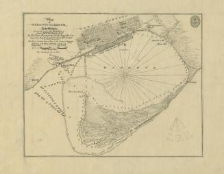
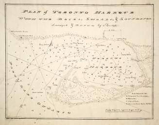
Plan of Toronto Harbour with the rocks, shoals & Soundings
1792
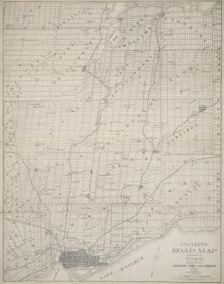
Cyclists' road map for the county of York, including portions of Ontario, Peel and Simcoe counties
1896
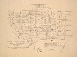
(1837) Plan of lands lately surveyed, adjacent to Toronto garrison
Approximately 1908
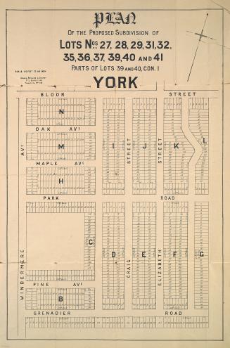
Plan of the proposed subdivision of lots nos
1882
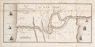
Plan de la cataracte de Niagara et l'isthme qui separe les Lacs Erie et Ontario.
1801
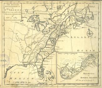
The British Governments in Nth
1763
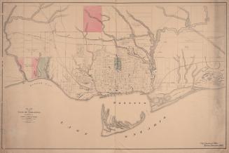
Plan of the city of Toronto, shewing proposed system of parks and boulevards to accompany Mayor McMurrich's report to council, 11th November 1882.
11 November 1882
Previous
/ 62
Next
RDF
XML
JSON