Skip to main content
Site maintenance in progress — some items may not be available
Advanced Search Objects: results
Close
Refine Results
Show Only Public Domain
Format
Map
(1,138)
Book
(67)
Ephemera
(16)
Manuscript
(7)
Picture
(5)
Date
to
Names
Goad, Charles E.
(188)
Chas. E. Goad, Ltd.
(186)
Unknown
(71)
Burland Lithographic Co.
(37)
Boulton, W. S. (William Sommerville), 1830-1860
(32)
Ellis, J.
(32)
Boulton, H. C. (Henry Carew), 1833-1898
(31)
Ontario. Department of Crown Lands
(31)
Copp Clark Company
(29)
Jefferys, Thomas, -1771
(27)
Load all
Subject
Maps
(1,233)
Fire insurance
(187)
Maps and surveys
(141)
Land subdivision
(102)
Railroads
(65)
Roads
(61)
Real property
(45)
Discovery and exploration
(43)
History
(42)
Cities and towns
(33)
Load all
Collection
Baldwin Collection of Canadiana
(1,212)
Humanities and Social Sciences department
(8)
Toronto Public Library Archives
(4)
Osborne Collection of Early Children's Books
(3)
Toronto Star Photograph Archive
(2)
Archives of Ontario
(1)
Arthur Conan Doyle Collection
(1)
Local History Collection, Leaside branch
(1)
Special Collections in the Arts
(1)
Language
English
(1,106)
French
(70)
Latin
(29)
German
(15)
Italian
(11)
Language
(4)
No linguistic content
(4)
Dutch
(4)
Spanish
(3)
Building, monument or park
Toronto Harbour
(16)
Fort York
(8)
Toronto Public Library. Wychwood Branch
(2)
Canadian National Exhibition (CNE)
(1)
Fort Frontenac
(1)
Fort George
(1)
Fort Ticonderoga (N.Y.)
(1)
Louisbourg (N.S.)
(1)
Moulthorp Lumber Company
(1)
Osgoode Hall (Toronto, Ontario)
(1)
Load all
City, town or township
Toronto
(405)
Montréal
(13)
Québec
(13)
Ottawa
(6)
Belleville
(5)
Kawartha Lakes
(4)
King (Ont. : Township)
(4)
Vaughan
(4)
Ameliasburgh (Ont.: Township)
(3)
Hamilton
(3)
Load all
Neighbourhood
Harbour
(49)
Railway Lands
(35)
Garrison
(33)
King-Spadina
(32)
Downtown
(29)
St. Lawrence
(24)
Financial District
(23)
Toronto Islands
(21)
Exhibition
(20)
Cabbagetown
(19)
Load all
North-south street
Yonge Street
(12)
Bathurst Street
(7)
Dovercourt Road
(5)
Dufferin Street
(5)
Bay Street
(3)
Christie Street
(3)
Leslie Street
(3)
Lippincott Street
(3)
Peter Street
(3)
Sherbourne Street
(3)
Load all
East-west street
Bloor Street West
(22)
College Street
(7)
Davenport Road
(7)
Dundas Street West
(5)
Front Street West
(5)
Queen Street West
(5)
King Street West
(4)
Kingston Road
(4)
Bloor Street East
(3)
Dupont Street
(3)
Load all
Sort:
Relevance
Date (Older First)
Date (Newer First)
Title (A–Z)
Title (Z–A)
Last Updated (Ascending)
Last Updated (Descending)
List
Images
Table
Previous
/ 62
Next
Advanced Search
Filters
Title
Names
Subject
Call Number / Accession Number
Date Range
to
Collection
All
(not assigned)
Archives of Ontario
Arthur Conan Doyle Collection
Arts department
Baldwin Collection of Canadiana
Business, Science, and Technology department
Chinese Canadian Archive
City of Toronto Archives
Humanities and Social Sciences department
IBBY Collection for Young People with Disabilities
Languages and Literature department
Local History Collection, Annette branch
Local History Collection, Beaches branch
Local History Collection, Bloor/Gladstone branch
Local History Collection, Dufferin/St. Clair branch
Local History Collection, Gerrard/Ashdale branch
Local History Collection, Leaside branch
Local History Collection, North York Central Library branch
Local History Collection, Northern District branch
Local History Collection, Palmerston branch
Local History Collection, Parkdale branch
Local History Collection, Riverdale branch
Local History Collection, Sanderson branch
Local History Collection, Weston branch
Local History Collection, Wychwood branch
Merril Collection of Science Fiction, Speculation and Fantasy
Ontario History Quest
Osborne Collection of Early Children's Books
Special Collections in the Arts
Toronto Public Library Archives
Toronto Reference Library
Toronto Star Photograph Archive
Formats
All
Artifact (an object in our collections)
Book
Ephemera
Manuscript
Map
Photo Album
Picture
Language
All
Abenaki
Algonquin (other)
Athapascan
Beothuk
Catalan
Chinese
Chinook jargon
Cree
Croatian
Dakota
Danish
Dene Suline
Dené
Dogrib
Dutch
English
French
Gaelic, Scottish
German
Greek, Ancient (to 1453)
Greek, Modern (1453- )
Haida
Haudenosaunee
Hungarian
Innu-aimun
Inuktitut
Irish
Italian
Japanese
Language
Latin
Maliseet–Passamaquoddy
Miꞌkmaq
Mohawk
No linguistic content
Norwegian
Ojibwa
Oneida
Portugese
Russian
Seneca
Serbian
Siksika
Spanish
Swedish
Tsimshian
Ukrainian
Welsh
Wendat
Yiddish
Clear
1,233 for
Subject
:
Maps
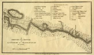
A sketch of the Battle of La Fourche or Chateauguay Oct
1815
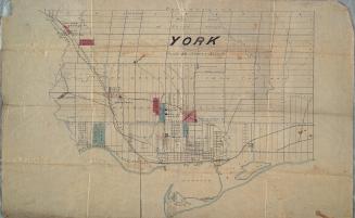
York
Approximately 1872
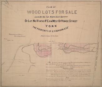
Plan of wood lots for sale laid out on the north east quarter of lot no. 111 in the 4th con. west of Yonge Street, York the property of G.T. Denison Esq.re.
1868
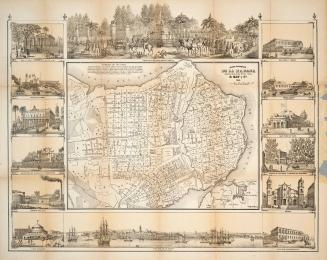
Plano Pintoresco de la Habana con Numeros de las Casas
1853
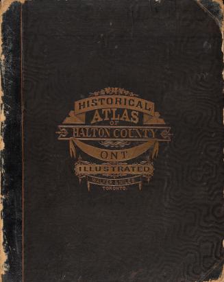
Illustrated historical atlas of the county of Halton, Ont.
1877
A new & exact map of the Island of Barbadoes in America According to an actual and accurate survey made in the years 1717 to 1721
1722
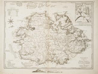
Antigua surveyed by Robert Baker Surveyor General of that Island Engraved and improved by Thomas Jefferys, Geographer to the King
1775
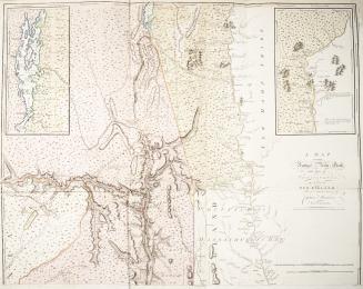
A map of the province of New York, with part of Pensilvania and New England from an actual survey by Captain Montresor, Engineer
1775
Plan de L'Isle de la Grenade, ou sont marques dans leur juste position le Ports et mouillages les Ville et Bourgs, les Rivieres, les Chemins Royaux et(...)
1763
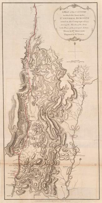
A map of the country in which the army under Lt. General Burgoyne acted in the campaign of 1777, shewing the marches of the army and the places of the principal actions
1780
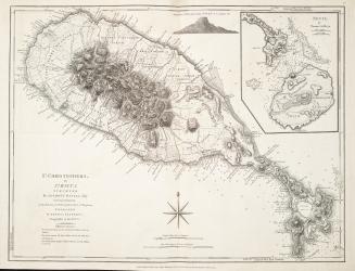
St. Christophers, or St. Kitts surveyed by Anthony Ravell Esq., Surveyor General of the lslands of St. Christopher, Nevis and Montserrat
1775
Plan of the Action at Huberton under Brigadier General Frazer, supported by Major General Reidesel, on 7th July 1777
1780
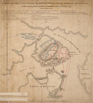
A sketch of the action between the British forces and the American provincials, on the Heights of the Peninsula of Charlestown, the 17th of June 1775
1775
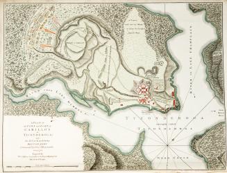
A Plan of the Town and Fort of Carillon at Ticonderoga, with the attack made by the British Army Commanded by Genl Abercrombie, 8 July 1758
1758
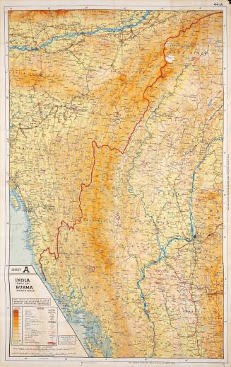
Sheet A India (Part Of) Burma (North West) : Sheet B Burma (North East) Siam (Thailand) (North) French Indo China (Part Of) China (Part Of)
Approximately 1944
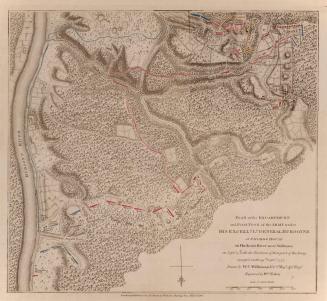
Plan of the Encampment and Position of the Army under His Excellency Lt. General Burgoyne at Swords House on Hudson's River near Stillwater on Septr 17th with the Positions of that part of the Army engaged on the 19th Septr 1777
1780
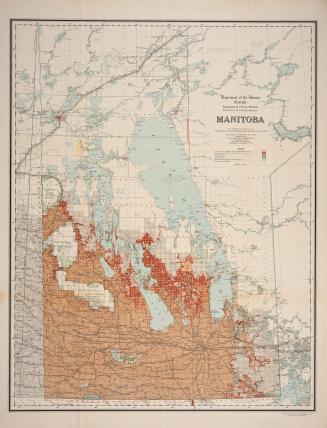
Manitoba
1917
(1793) Plan of York harbour surveyed by order of Lieut. Govr. Simcoe by A. Aitken
1908
(1788) Plan of Torento [sic] Harbour with the proposed town and part of the settlement, Québec 6th Dec. 1788, Gothermann, Capn. Commandg. Rl. Engrs. Colonial Correspondence Canada (Québec) 1790 no. 47 Plan B
Approximately 1908
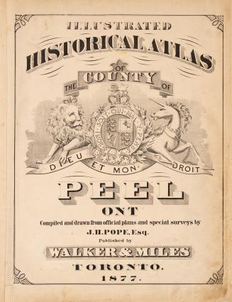
Illustrated historical atlas of the county of Peel, Ont.
1877
Previous
/ 62
Next
RDF
XML
JSON


![(1788) Plan of Torento [sic] Harbour with the proposed town and part of the settlement, Québec 6th Dec. 1788, Gothermann, Capn. Commandg. Rl. Engrs. Colonial Correspondence Canada (Québec) 1790 no. 47 Plan B](/internal/media/dispatcher/2237612/thumbnail)