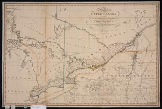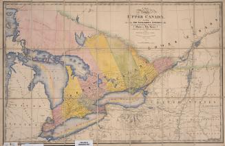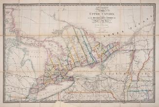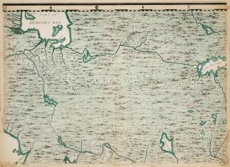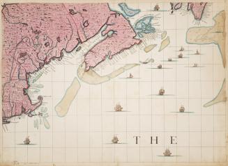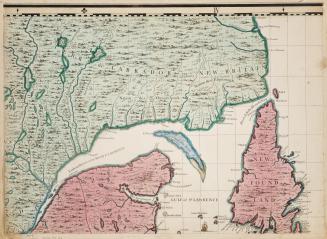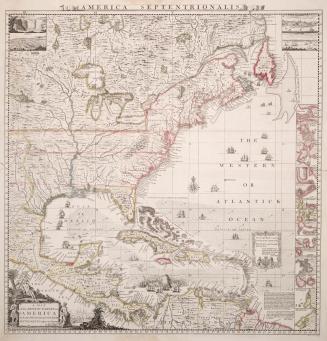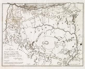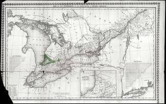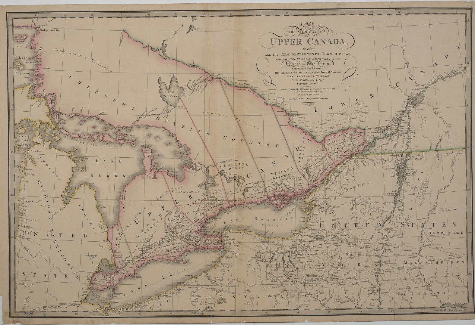

A map of the province of Upper Canada describing all the settlements and townships &c. with the countries adjacent from Quebec to Lake Huron
Date1818
Names
Faden, William
(publisher)
Smyth, David William, Sir, 1764-1837
(surveyor)
Smyth, David William, Sir, 1764-1837
(cartographer)
FormatMap
Subject
Dimensions60 cm x 92 cm (23 5/8 in. x 36 1/4 in.)
ScaleApproximately 1 inch to 23 miles
Language
CollectionBaldwin Collection of Canadiana
Usage Rights
Public Domain
(Learn
More)
Object Number912-713-S51-21