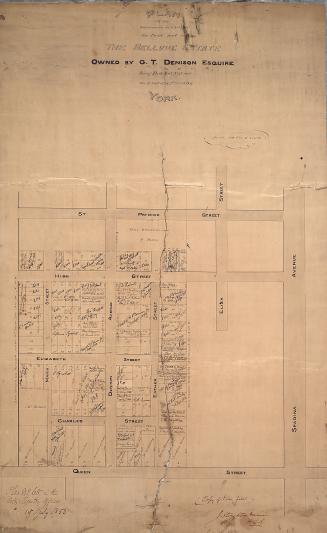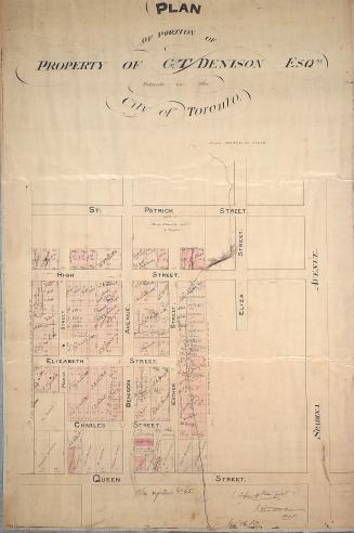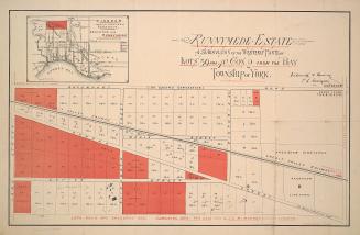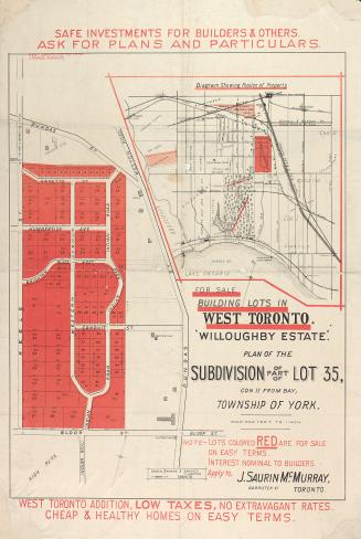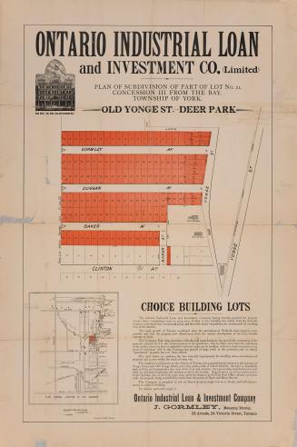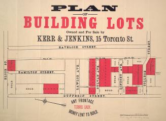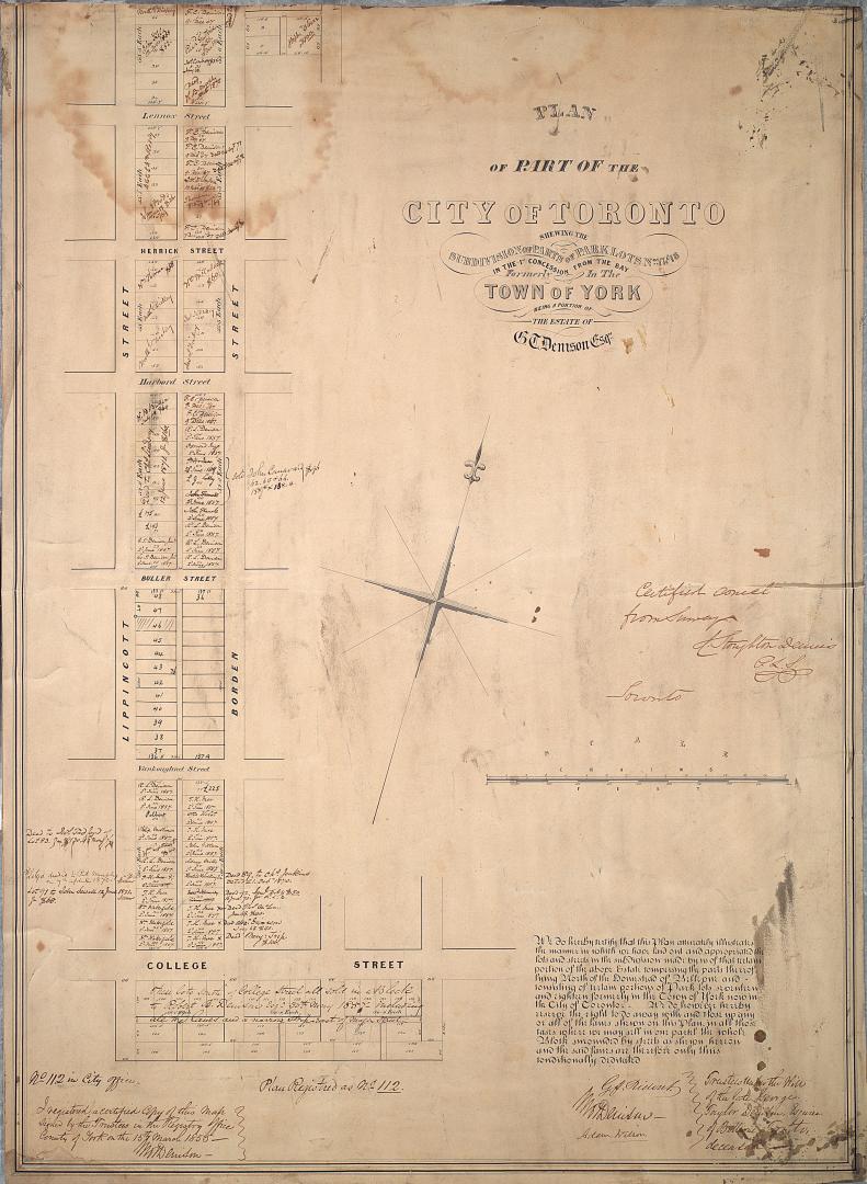

Plan of part of the city of Toronto shewing the subdivision of parts of park lots no. 17 & 18
Date1855
Names
Dennis, John Stoughton, 1820-1885
(cartographer)
Denison, George T. (George Taylor), 1839-1925
(contributor)
FormatMap
NotesDimensions74.5 x 55 cm
Scale1.5 chains = 1000 feet
Language
ProvenanceThe map was donated to the library with the Denison family papers in 1989.
CollectionBaldwin Collection of Canadiana
Usage Rights
Public Domain
(Learn
More)
Object NumberMs1989.1.4