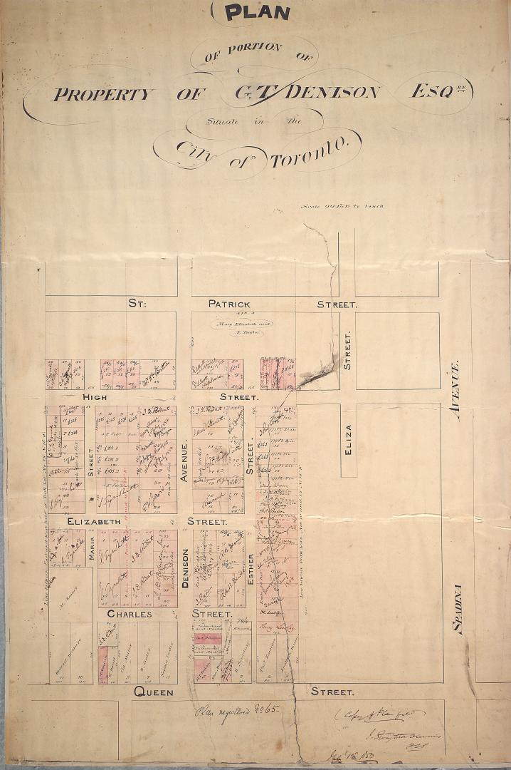

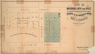
Plan of portion of property of G.T. Denison Esq.re situate in the city of Toronto
Date1853
Names
Dennis, John Stoughton, 1820-1885
(cartographer)
FormatMap
Dimensions81.5 cm x 53.5 cm (32 1/16 in. x 21 1/16 in.)
Scale1 inch = 99 feet
Language
ProvenanceThe map was donated to library with the Denison family papers in 1989.
CollectionBaldwin Collection of Canadiana
Usage Rights
Public Domain
(Learn More)
Object NumberMs1989.1.3
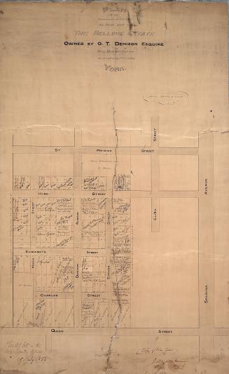
Denison, George T. (George Taylor), 1839-1925
1853
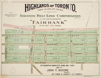
Denison, George T. (George Taylor), 1839-1925
1855
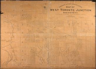
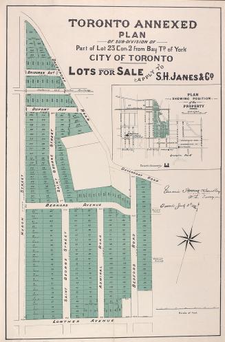
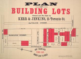
Alexander & Cable Lithographing Co. Ltd
1910

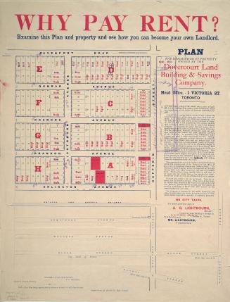
Dovercourt Land, Building & Savings Co
1885
Unwin, Browne & Sankey
1886
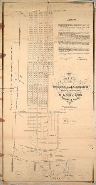
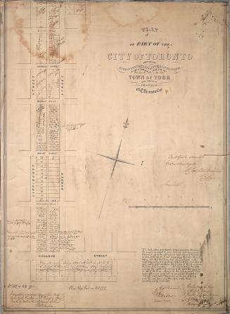
Dennis, John Stoughton, 1820-1885
1853
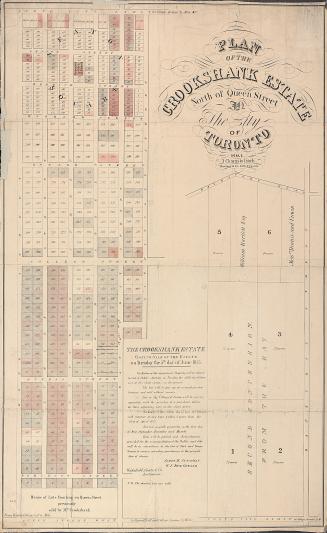

Browne, John Ownsworth, 1808-1881
1855