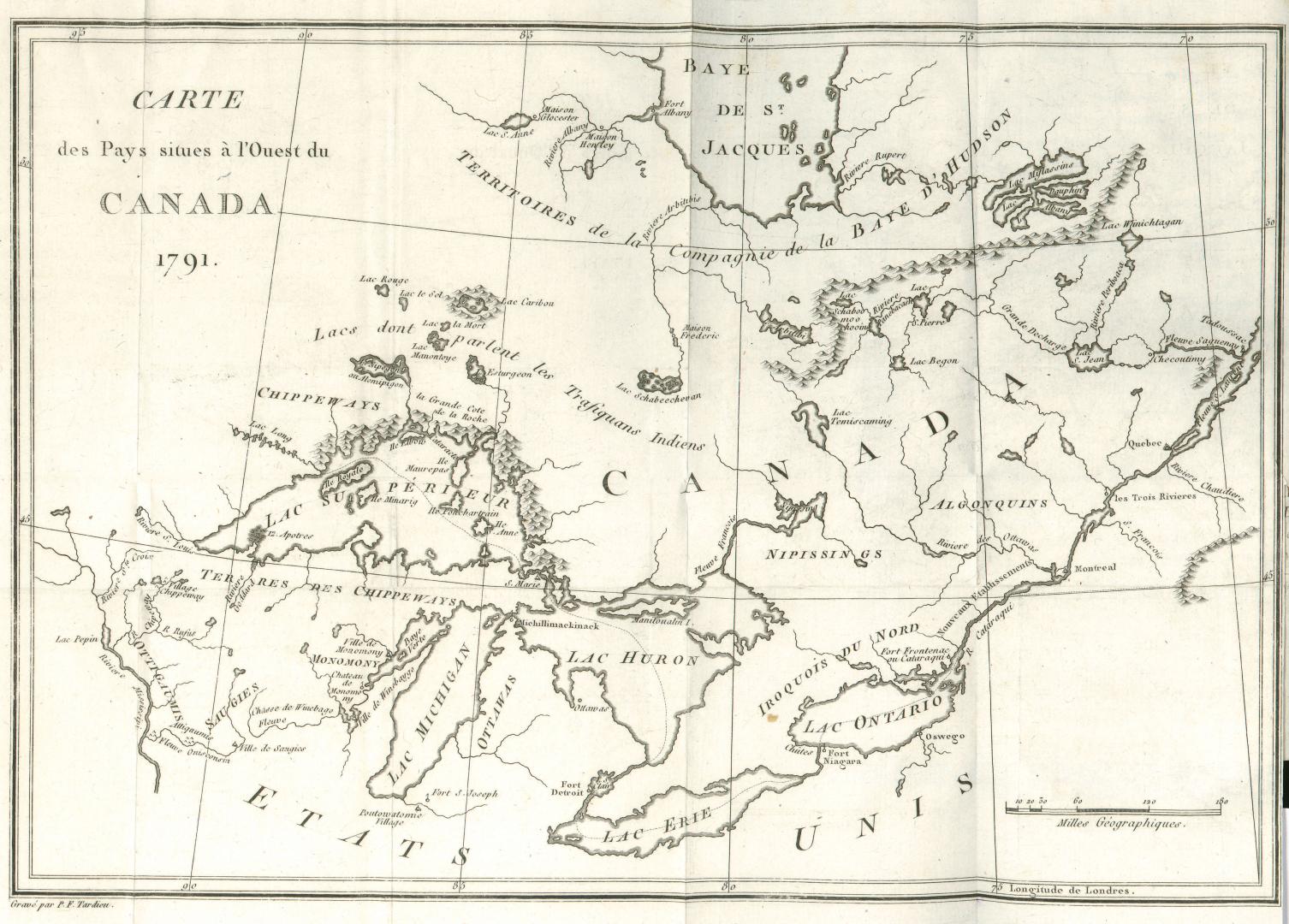

Carte des pays situes à l'ouest du Canada 1791
Date1794
Names
Tardieu, P. F.
(author)
Format
Country:Canada||United States
Province or state:Ontario||Québec
Medium
Dimensions1 inch to 90 geog miles : 21 x 30 cm.
Extent
- 1 inch to 90 geog miles : 21 x 30 cm.
Language
CollectionBaldwin Collection of Canadiana
Usage Rights
Public Domain
(Learn More)
Call Number / Accession NumberOHQ2-MAP-S-R-022
Dewey Number970.1 L58.13
Terminology NoteToronto Public Library recognizes that the term "Indians," used in subject headings such as "Indians of North America", is offensive to many people. Although we currently maintain these headings to adhere to descriptive standards used by libraries worldwide, we and other Canadian libraries are working to replace them with ones that are acceptable to Indigenous Peoples in Canada.