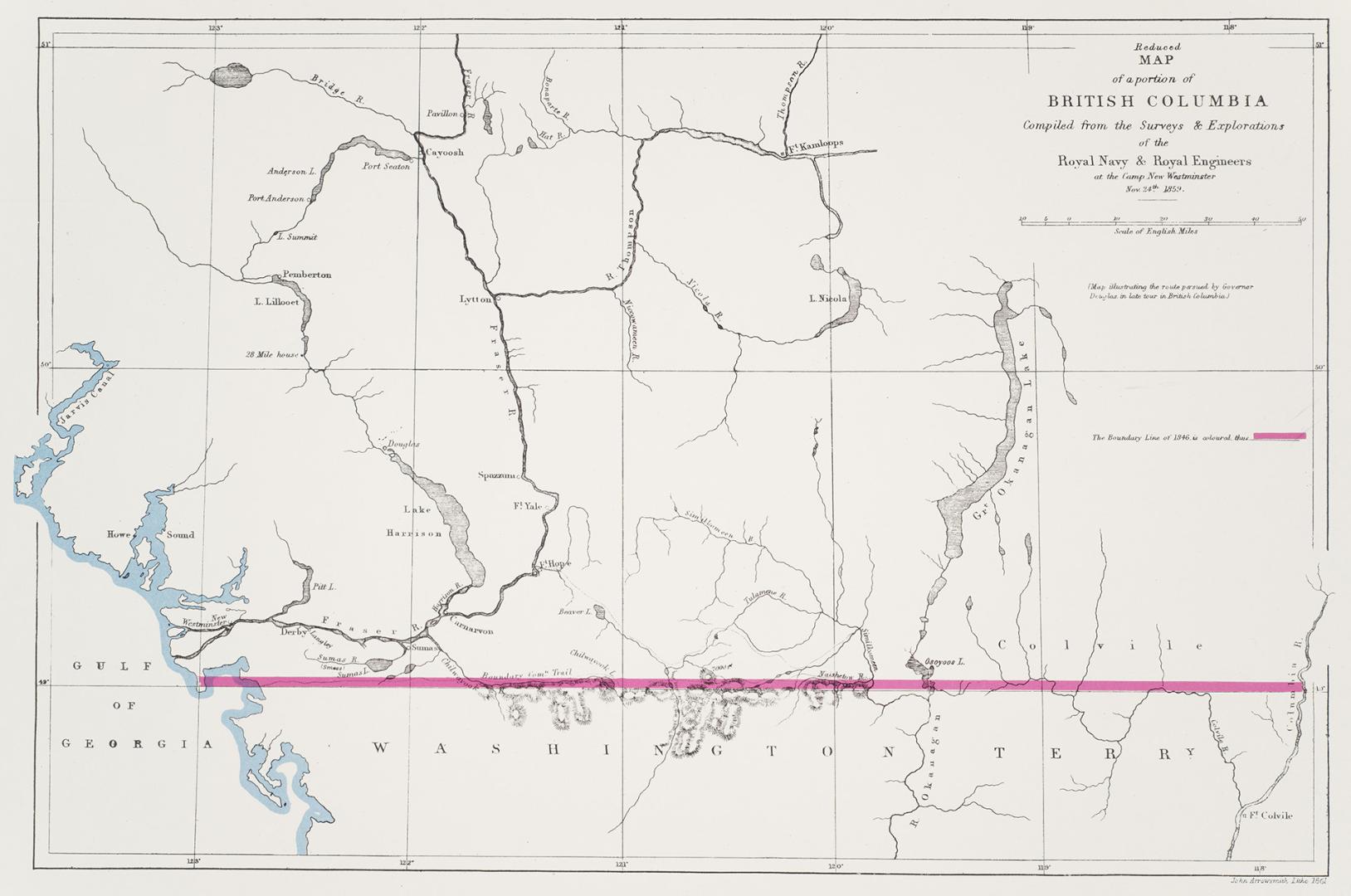

Map of a portion of British Columbia / compiled from the surveys & explorations of the Royal Navy & Royal Engineers, at the camp, New Westminster Novr. 24th 1859
Date1859
Names
Arrowsmith, John, 1790-1873
(author)
Douglas, James, 1803-1877
(contributor)
Great Britain. Army. Royal Engineers
(contributor)
Great Britain. Royal Navy
(contributor)
FormatMap
Medium
Dimensions34.4 x 50 cm
Language
CollectionBaldwin Collection of Canadiana
Usage Rights
Public Domain
(Learn More)
Object Number912-711-B67-2-SMALL
Canada. Department of the Interior
1904
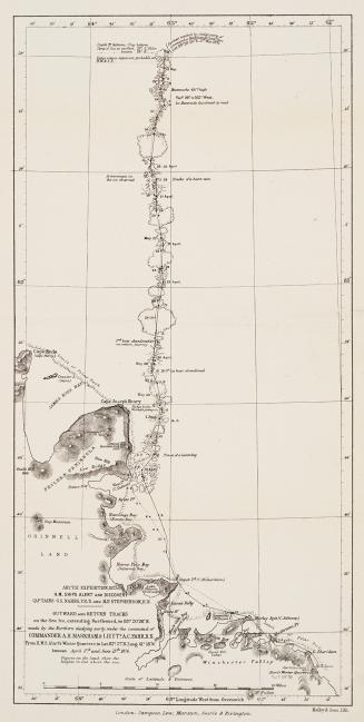
Nares, George S. (George Strong), 1831-1915
1878
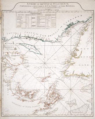
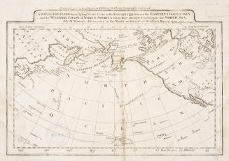
Jefferys, Thomas, -1771
Approximately 1750
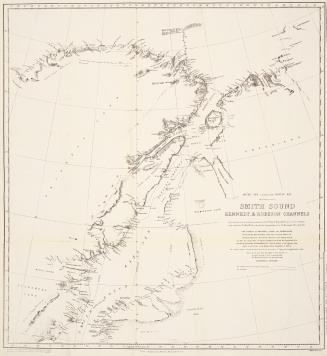
Franklin, Jane Griffin, Lady, 1792-1875
1858
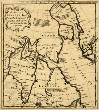
Carey, Mathew, 1760-1839
Approximately 1809