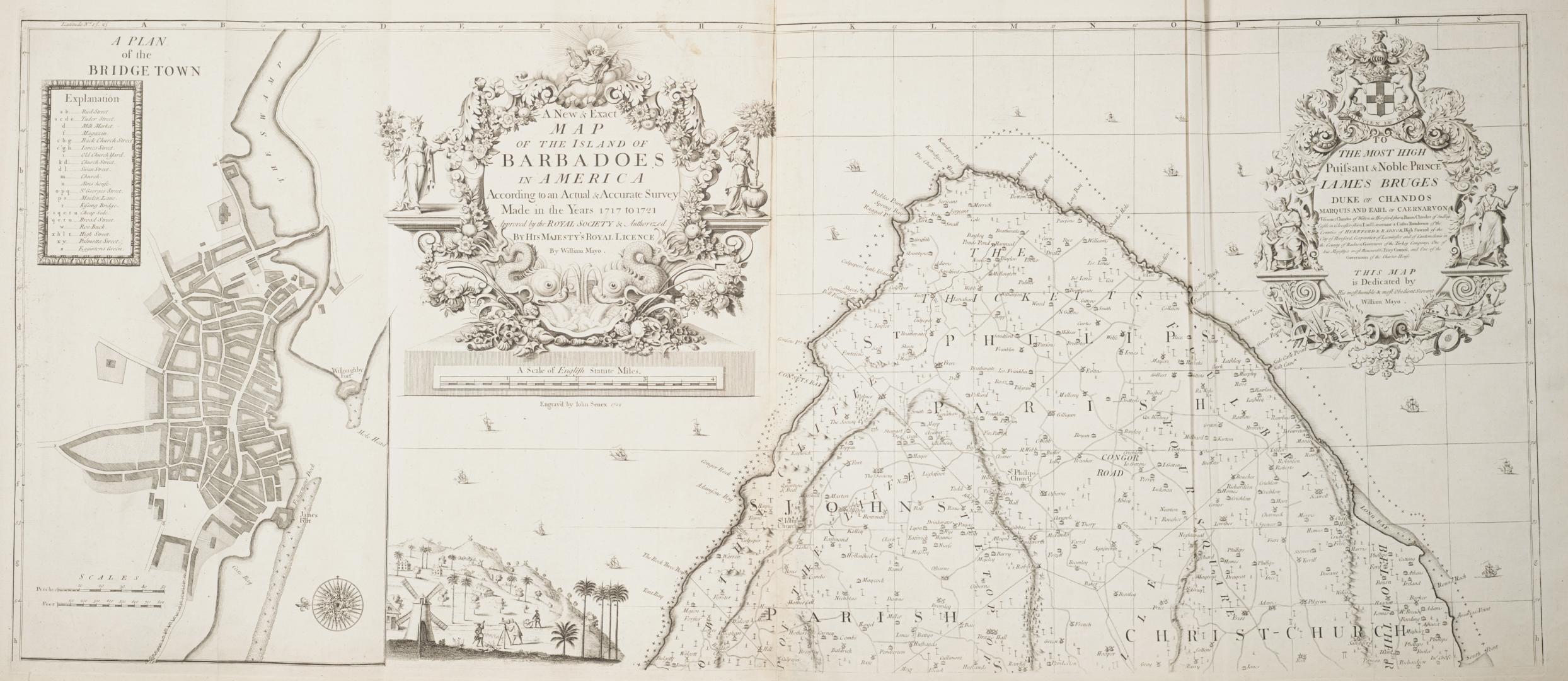

A new & exact map of the Island of Barbadoes in America According to an actual and accurate survey made in the years 1717 to 1721
Date1722
Names
Mayo, William, 1684-1744
(surveyor)
Senex, John, 1678-1740
(engraver)
FormatMap
NotesInset of A Plan of BridgeTown; Inset of A Prospect of Codrington College, Mansion House, Windmill, boiling house, curing house, Confets Bay; Includes index to buildings and parishes; Includes dedication to Iames Bruges
Dimensions54 cm x 128 cm (21 1/4 in. x 50 3/8 in.)
ScaleBar scale (English statute miles)
ScaleBar scales (perches and feet)
Language
ProvenanceGift of James Bain family, 2008
CollectionBaldwin Collection of Canadiana
Usage Rights
Public Domain
(Learn More)
Call Number / Accession Number912-72981-M138-BAIN
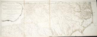
Robert Sayer and John Bennett (Firm)
1775
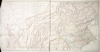
De Braham, William Gerard, 1717-1799
1757