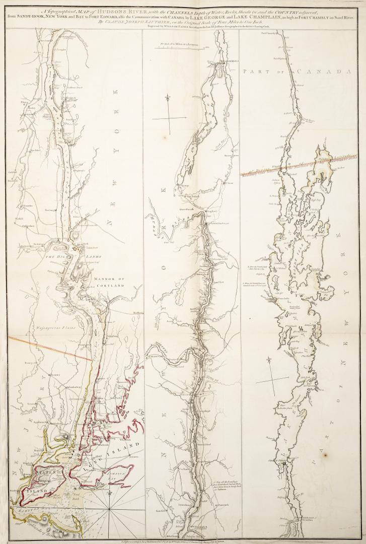

Topographical map of Hudson's River with the Channels depth of Water, Rocks, Shoals etc
Date1776
Names
Faden, William, 1750-1836
(contributor)
Sauthier, Claude Joseph, 1736-1802
(author)
Wm. Faden
(publisher)
Alternate Title
- Topographical map of Hudson's River
FormatMap
NotesTopographical map of Hudson's River with the Channels depth of Water, Rocks, Shoals etc. and the Country adjacent, from Sandy Hook, New York and Bay to Fort Edward, also the Communication with Canada by Lake George and Lake Champlain, as high as Fort Chambly on Sorel River
Subject
Medium
Dimensions4 miles to 1 inch : 79.5 x 52.5 cm on sheet 83 x 57.5 cm
Language
ProvenanceGift of James Bain family, 2008
CollectionBaldwin Collection of Canadiana
Usage Rights
Public Domain
(Learn
More)
Object Number912-7473S134