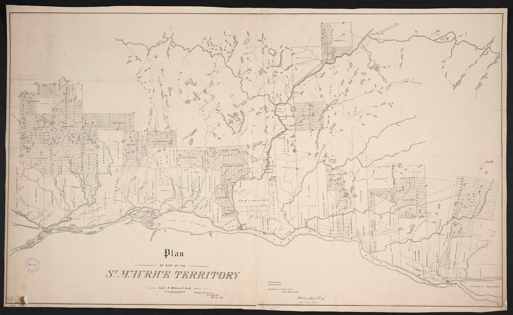

Plan of part of the St. Maurice Territory
Date1862
Names
Crown lands department
(contributor)
Bouchette, Joseph, 1774-1841
(cartographer)
G. Matthews
(publisher)
FormatMap
NotesDepartment of Crown Lands, Surveying Branch Lower Canada, Québec, March 1862, P. M.Vankoughnet, Commissioner of Crown Lands. 1 map on 2 sheets.
Subject
Dimensions63 cm x 110 cm (24 13/16 in. x 43 5/16 in.)
Scale4 miles to 1 inch
Language
CollectionBaldwin Collection of Canadiana
Usage Rights
Public Domain
(Learn
More)
Object Number912-71445-C12-MEDIUM
![(1788) Plan of Torento [sic] Harbour with the proposed town and part of the settlement, Québec 6th Dec. 1788, Gothermann, Capn. Commandg. Rl. Engrs. Colonial Correspondence Canada (Québec) 1790 no. 47 Plan B](/internal/media/dispatcher/2237612/thumbnail)
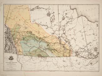
![Map of part of the North West Territory including the Province of Manitoba exhibiting the several tracts of country ceded by Indian treaties 1,2,3 and 4 to accompany report of the hon[ourable] the Minister of the Interior dated 20th January, 1875](/internal/media/dispatcher/2217756/thumbnail)