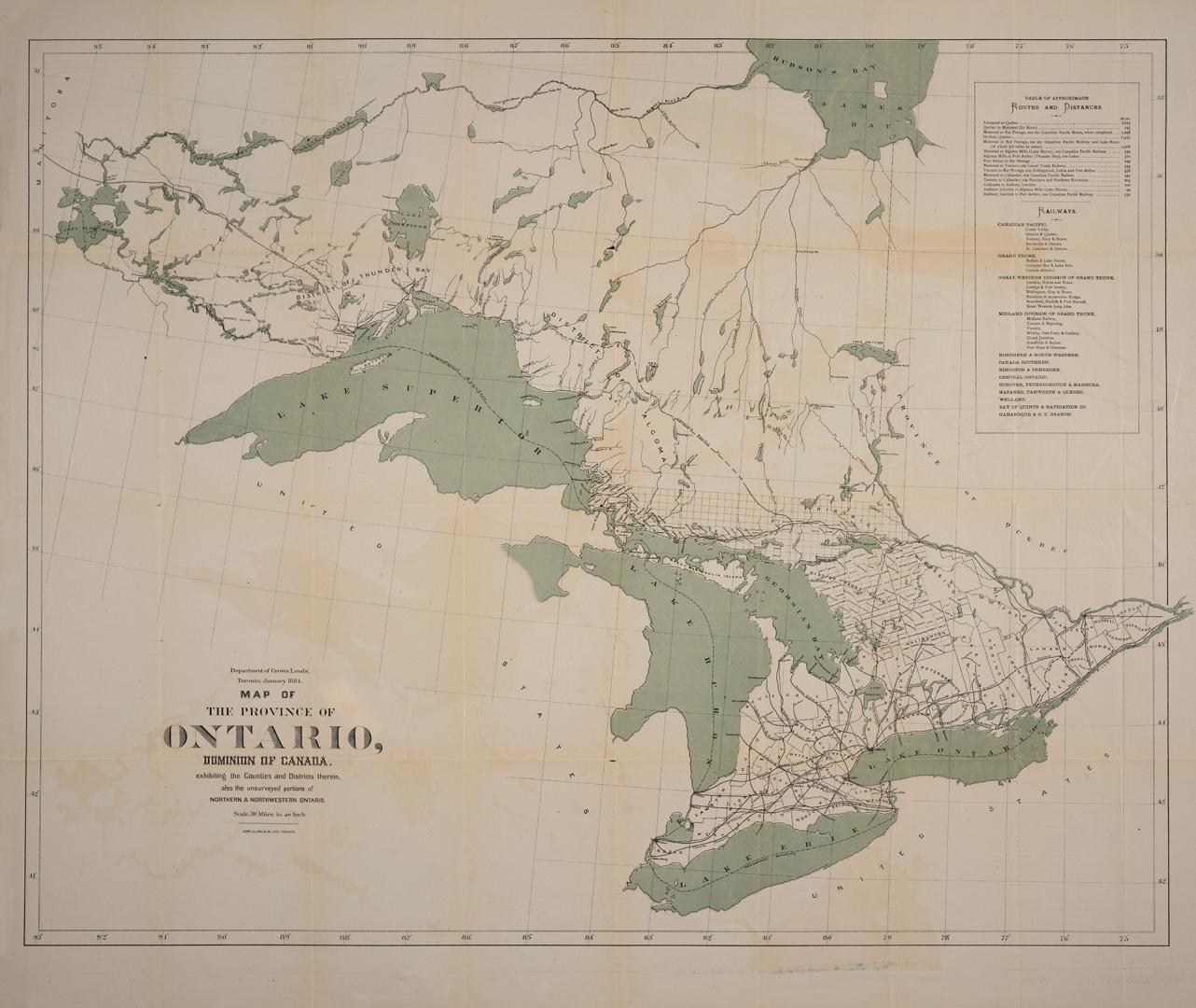

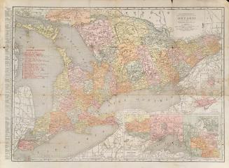
Map of the Province of Ontario, Dominion of Canada, exhibiting the counties and districts therein, also the unsurveyed portions of Northern & Northewestern Ontario
Date1884
Names
Ontario. Department of Crown Lands
(author)
Copp Clark Company
(publisher)
FormatMap
Notes| Includes table of approximate routes and distances. Railway lines are listed and shown on map. |
DimensionsLeaf size: 79 cm x 93 cm (31 1/8 in. x 36 5/8 in.)
Scale30 miles to an inch
Language
CollectionBaldwin Collection of Canadiana
Usage Rights
Public Domain
(Learn
More)
Object Number912-713-O561

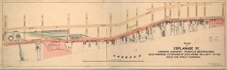
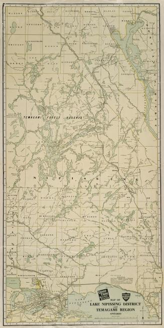
Approximately 1905
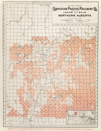
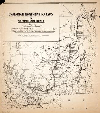
Approximately 1916
Approximately 1915
Approximately 1872