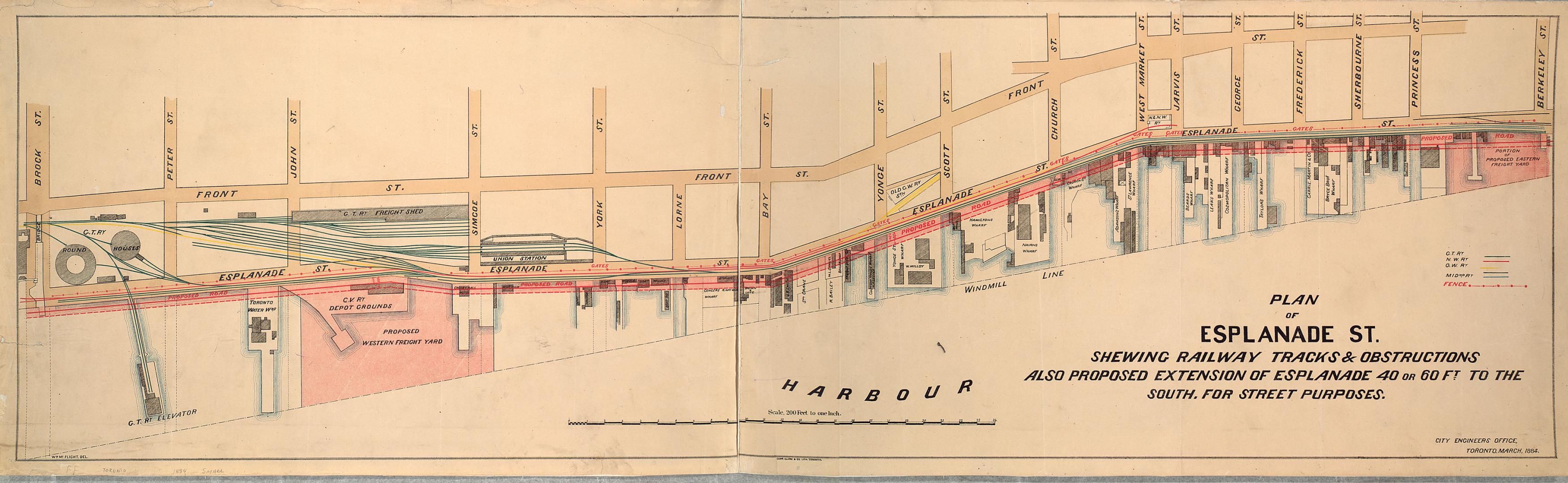

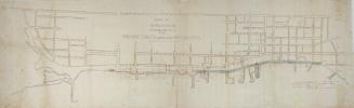
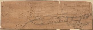
Plan of Esplanade St., shewing railway tracks & obstructions, also proposed extension of Esplanade 40 or 60 ft. to the south, for street purposes
Date1884
Names
City Engineer's Office
(cartographer)
Copp Clark Company
(publisher)
Copp Clark Company
(lithographer)
FormatMap
NotesShows names of wharves
Dimensions34 cm x 119 cm (13 3/8 in. x 46 7/8 in.)
Scale1 inch = 200 feet
Language
CollectionBaldwin Collection of Canadiana
Usage Rights
Public Domain
(Learn More)
Call Number / Accession NumberT-1884-2-SMALL
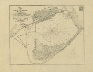
Bayfield, H. W.
Approximately 1908
Bonnycastle, Richard Henry, Sir, 1791-1847
1907
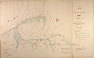
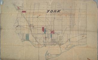
Dennis, John Stoughton, 1820-1885
1851
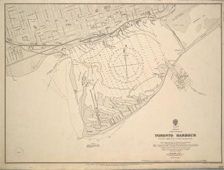
Great Britain. Admiralty
1907
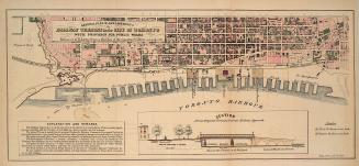
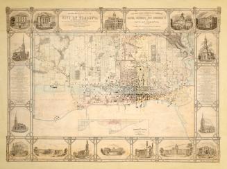
Browne, John Ownsworth, 1808-1881
1853