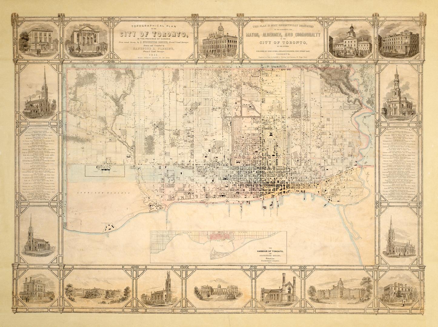

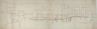
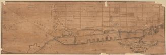
Topographical plan of the city of Toronto, in the province of Canada, from actual survey, by J Stoughton Dennis, Provin'l. land surveyor.
Date1851
Names
Dennis, John Stoughton, 1820-1885
(cartographer)
Fleming, Sandford, 1827-1915
(draftsman)
Fleming, Sandford, Sir, 1827-1915
(engraver)
Hugh Scobie (Firm)
(publisher)
Fleming, Sandford, 1827-1915
(cartographer)
FormatMap
NotesInset: The harbour of Toronto. Includes engravings of principal buildings in margins: (list of bldgs. on back of page). Includes index to public buildings &c and index to places of worship &c.This plan is most respectfully dedicated to the worshipful the mayor, aldermen, and commonality of the city of Toronto, by the author.
Dimensions72 cm x 96.5 cm (28 3/8 in. x 38 in.)
Scale1 inch = 12 chains
Language
CollectionBaldwin Collection of Canadiana
Usage Rights
Public Domain
(Learn More)
Object NumberT-1851-LARGE
Bonnycastle, Richard Henry, Sir, 1791-1847
1907
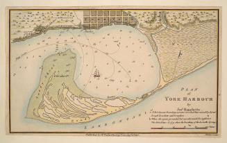
Bayfield, H. W.
Approximately 1908
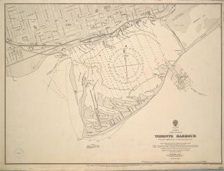
Great Britain. Admiralty
1907
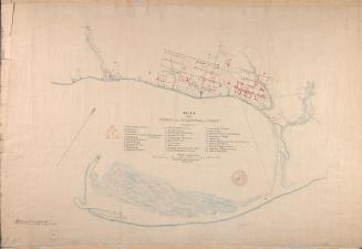
Browne, John Ownsworth, 1808-1881
1853
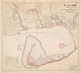
Philpotts, George, -1853
1907
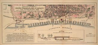
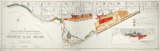
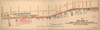
Toronto Harbour Commissioners
Between 1914 and 1918