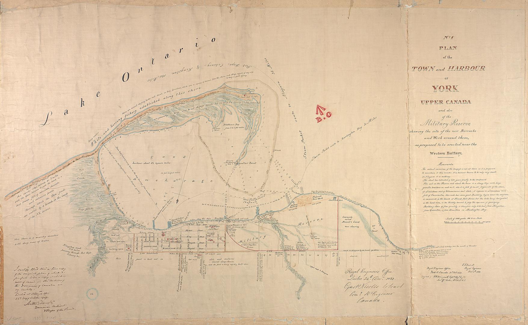

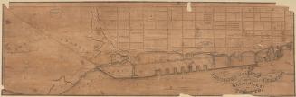
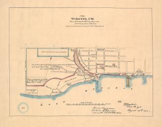
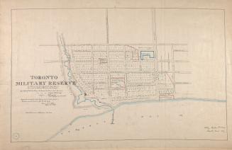
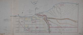
(1833) No. 1 plan of the town and harbour of York Upper Canada and also of the Military Reserves
Date1907
Names
Bonnycastle, Richard Henry, Sir, 1791-1847
(contributor)
Ford, E. T.
(contributor)
Royal Engineers Office (Quebec)
(contributor)
Nicolls, Gustavus
(author)
Royal Engineer Office (Toronto, Ont.)
(contributor)
Robertson, J. Ross (John Ross), 1841-1918
(contributor)
FormatMap
Notes1907 reproduction of original 1833 map. Arthur E. Doughty certifies that is a true copy of the original plan which is in the Archives of the Dominion of Canada (now Library and Archives Canada).
Dimensions84.5 cm x 132.5 cm (33 1/4 in. x 52 3/16 in.)
ScaleScale of 1000 yards
Scale1 inch = 300 yards
Language
ProvenanceGift of John Ross Robertson (JRR collection #16)
CollectionBaldwin Collection of Canadiana
Usage Rights
Public Domain
(Learn More)
Call Number / Accession NumberT-1833-LARGE
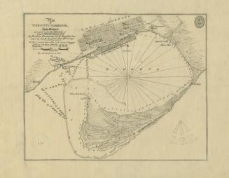
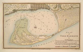
Bayfield, H. W.
Approximately 1908
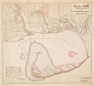
Dennis, John Stoughton, 1820-1885
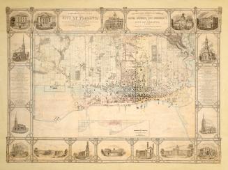
1851
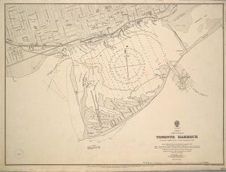
Browne, John Ownsworth, 1808-1881
1853
Philpotts, George, -1853
1907
Great Britain. Admiralty
1907
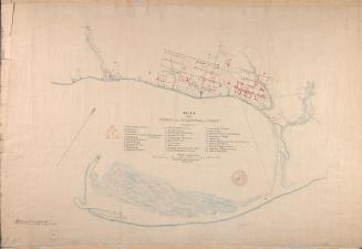
Hawkins, William, 1807-1868
Approximately 1908
Royal Engineer Office (Toronto, Ont.)
27 June 1908