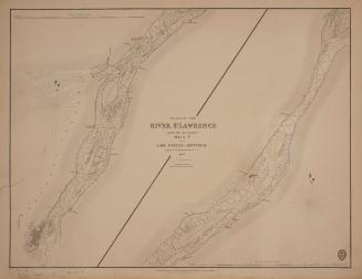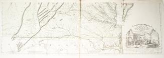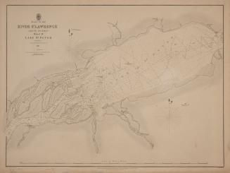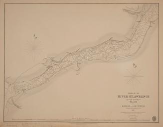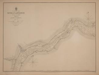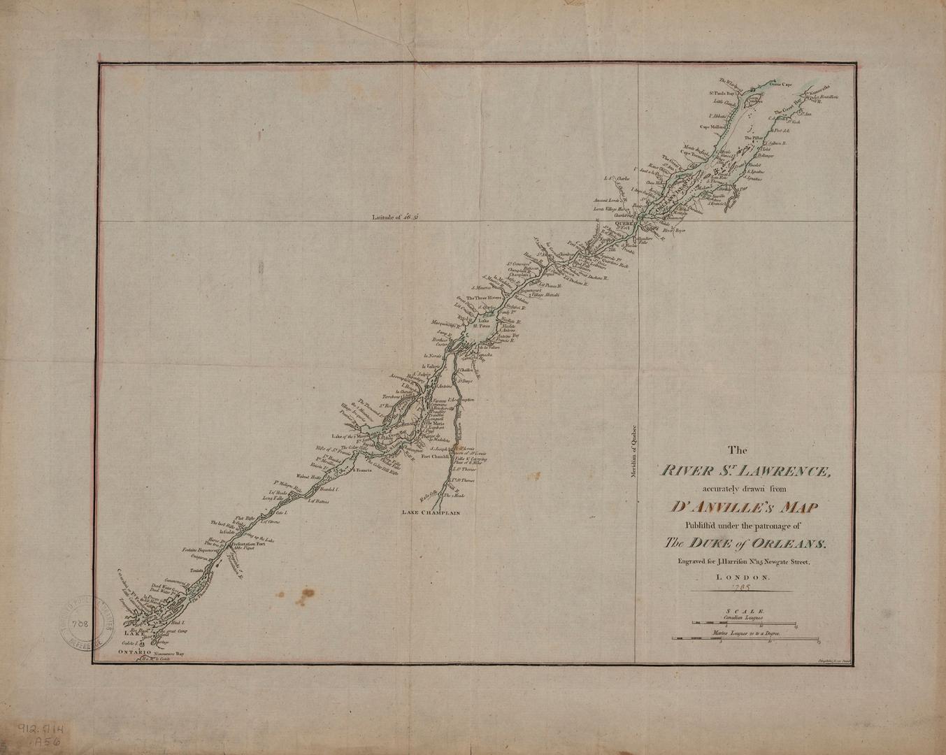

The River St. Lawrence accurately drawn from D'Anville's map
DateApproximately 1790
Names
Anville, Jean Baptiste Bourguignon d', 1697-1782
(cartographer)
Harrison, John, active 1784-1792
(contributor)
Format
| Published under the patronage of the Duke of Orleans, engraved for J. Harrison. On lower right corner of map, "Simpkins sc. 251 Strand" |
Subject
Country:Canada
Geograhical feature:St. Lawrence River
Province or state:Québec
Medium
Dimensions43 cm x 53 cm (16 15/16 in. x 20 7/8 in.)
ScaleBar scales (Canadian Leagues, Marine Leagues 20 to a degree)
Language
CollectionBaldwin Collection of Canadiana
Usage Rights
Public Domain
(Learn More)
Call Number / Accession Number912-714-A56-SMALL
Dewey Number912.714 A56 SMALL