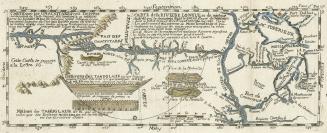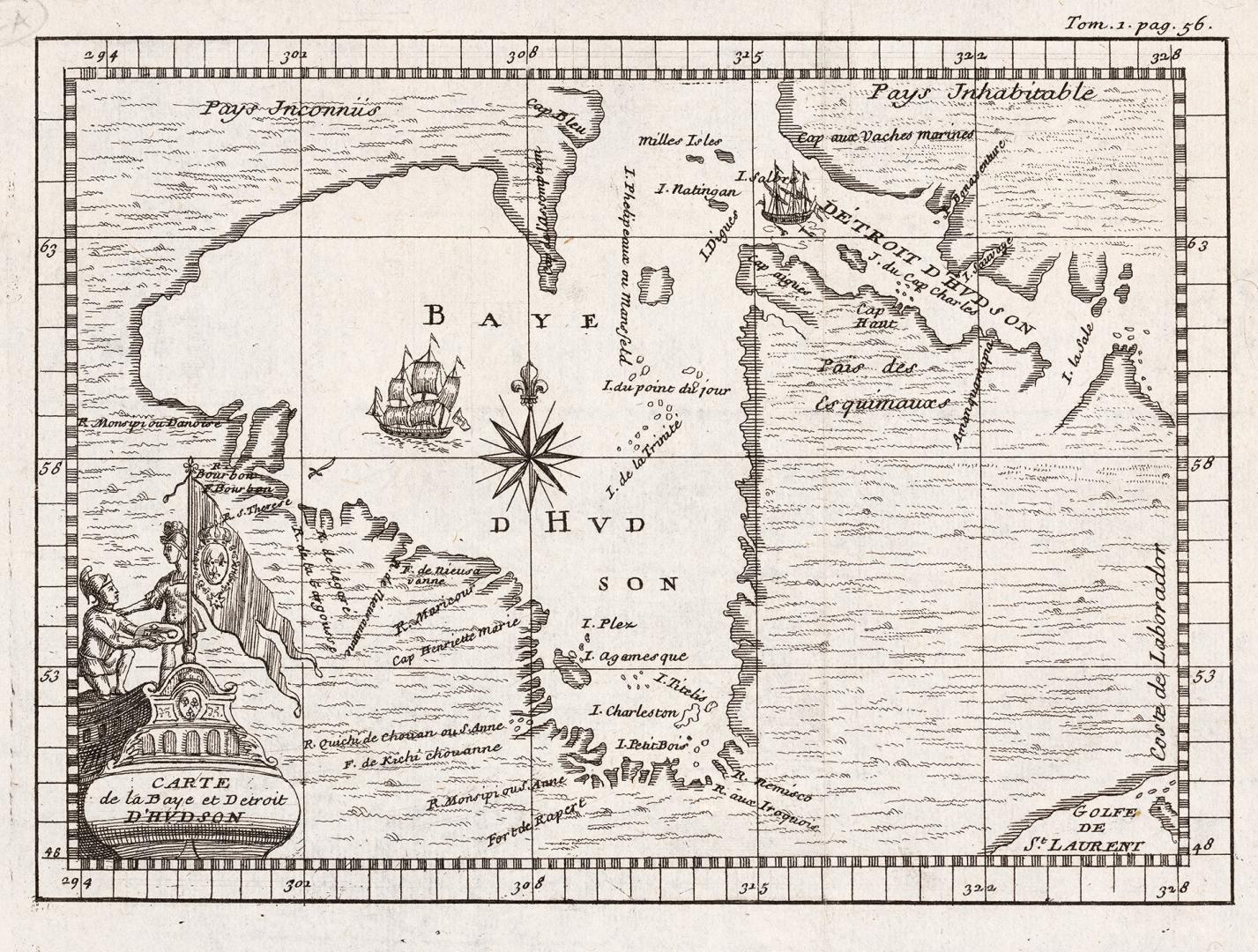

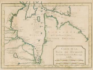
Carte de la Baye et Detroit D'Hudson
Date1722
Names
Format
Published in l'Histoire de l'Amérique septentrionale, by Claude-Charles Bacqueville de La Potherie, Paris : Jean-Luc Nion et François Didot, 1722.
Subject
Country:Canada
Geograhical feature:Hudson Bay
Province or state:Manitoba
Medium
Dimensions15.3 cm x 18.3 cm (6 in. x 7 3/16 in.)
Language
ProvenanceFrom the George Weston Limited donation of printed maps and illustrations 2002
CollectionBaldwin Collection of Canadiana
Usage Rights
Public Domain
(Learn More)
Call Number / Accession Number912-19632-B11-WESTON-15
Dewey Number912.19632 B11 (Weston donation maps drawer, map #15)

1827