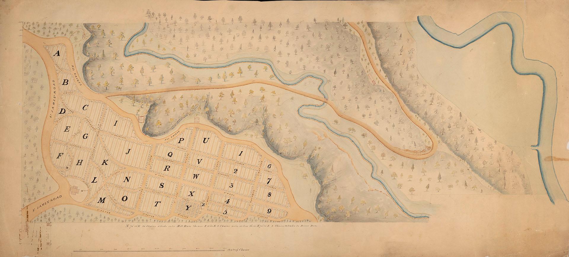

St. James Cemetery plan, circa 1850
Dateapproximately 1850
Names
Howard, John G. (John George), 1803-1890
(cartographer)
FormatManuscript
NotesMap shows the plan of St. James Cemetery, circa 1850.
Date estimated.
Encapsulated.
Date estimated.
Encapsulated.
DimensionsLeaf size: 56 cm x 121 cm (22 1/16 in. x 47 5/8 in.)
Scale32 cm : 100 chains
Language
CollectionBaldwin Collection of Canadiana
Usage Rights
Public Domain
(Learn More)
Object NumberMSMAP/OS-HOWARD-0913
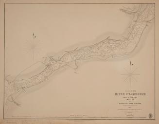
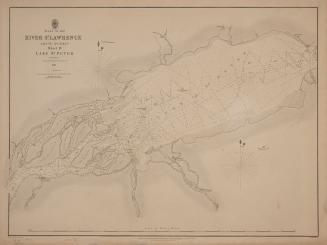
Bayfield, Henry Wolsey, 1795-1885
1831
Bayfield, Henry Wolsey, 1795-1885
1831
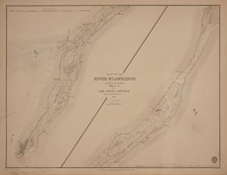
Bayfield, Henry Wolsey, 1795-1885
1834
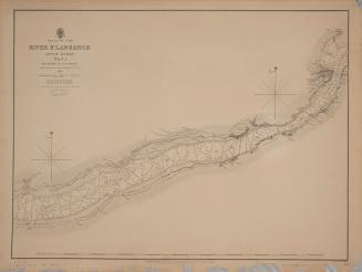
Bayfield, Henry Wolsey, 1795-1885
1837
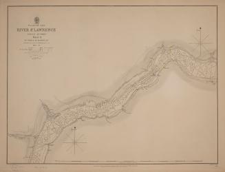
Bayfield, Henry Wolsey, 1795-1885
1837
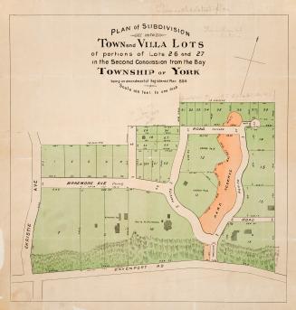
Alexander & Cable Lithographing Co. Ltd
1885