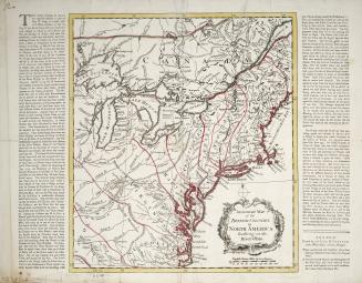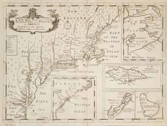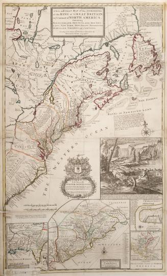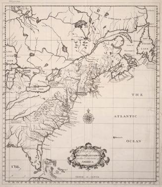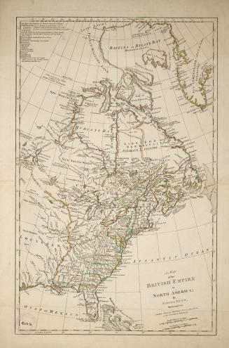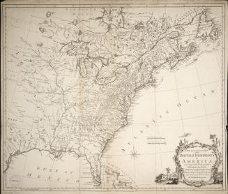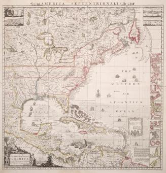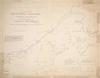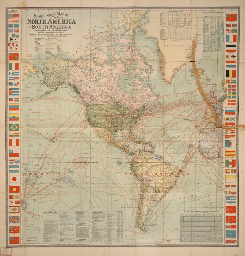

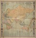
Scarborough's map of the world, Europe, Asia, Africa and Australia showing countries and their colonies, principal transportation lines, etc. / Scarborough's map of the world North America and South America showing countries and their colonies, principal transportation lines, etc.
DateApproxiamtely 1900
Names
Scarborough Company
(publisher)
FormatMap
NotesIncludes: Table of distances in nautical miles along steamship routes, principal ocean steamship lines description of steamers, portraits of principal rulers of the world bordering the map, information about commerce of the world including value of imports per capita in dollars for various countries, imports of principal countries (total value and value per capita in dollars), exports of principal countries (total value and value per capita in dollars). Also includes flags of America, Asia, Australia, Europe and Africa, and information of armies of principal countries.
Dimensions108 cm x 102 cm (42 1/2 in. x 40 3/16 in.)
Scale1" = 400 miles (approx.)
Language
CollectionBaldwin Collection of Canadiana
Usage Rights
Public Domain
(Learn
More)
Object Number917-S17